
1962 Map of Smackover
USGS Topo · Published 1963About this map
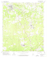
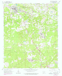
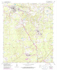
The Smackover Oil and Gas Field dominates this early 1960s landscape, illustrating the industrial infrastructure that defined southern Arkansas during this era. Centered on the town of Smackover, the map reveals a complex network of oil wells, refineries, and tank farms connected by the Missouri Pacific railroad. This industrial activity is woven into a rural fabric of small communities like Kenova, Norphlet, and Sandy Land. The area is densely dotted with country churches and family burial grounds, such as New Providence Ch and Hicks Cem, which provide essential landmarks for genealogists tracing local families. Significant institutional sites like the Smackover Training Sch and the large Chemical Plant further south highlight the region's mid-century economic and social centers. The winding course of Smackover Creek serves as the primary drainage and a natural boundary between Ouachita and Union counties.
Find a feature on this map
37 named features on this map. Tap any name to fly to it.
Don’t see what you’re looking for? This feature index may not catch every label — zoom into the map to look around manually.
Map Details
Editions of this 1962 Smackover Map
4 editions found
Other maps of this area

1927 · El Dorado
USGS Topo · 1:62,500

1930 · El Dorado
USGS Topo · 1:62,500

1951 · El Dorado
USGS Topo · 1:62,500

1953 · El Dorado
USGS Topo · 1:250,000

1957 · El Dorado
USGS Topo · 1:250,000

1958 · El Dorado
USGS Topo · 1:250,000

1960 · El Dorado
USGS Topo · 1:250,000

1962 · Lisbon
USGS Topo · 1:24,000

1962 · Louann
USGS Topo · 1:24,000

1962 · Smackover NE
USGS Topo · 1:24,000