
1962 Map of Smackover NE
USGS Topo · Published 1963About this map
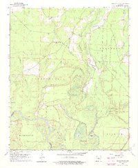
The Ouachita River meanders across the southern landscape of this early 1960s survey, defining a complex ecosystem of oxbows, sloughs, and brakes along the border of Calhoun and Ouachita counties. The river's influence is evident in the dense network of water bodies, including the curiously named Hades Lake, Duck Roost Lake, and Horseshoe Brake. This watery terrain is punctuated by evidence of early habitation, notably the Indian Mounds located near Cooks Lake.
Find a feature on this map
38 named features on this map. Tap any name to fly to it.
Don’t see what you’re looking for? This feature index may not catch every label — zoom into the map to look around manually.
Map Details
Editions of this 1962 Smackover NE Map
3 editions found
Other maps of this area

1903 · Camden
USGS Topo · 1:125,000

1934 · Moro Bay
USGS Topo · 1:62,500

1938 · Moro Bay
USGS Topo · 1:62,500

1939 · Moro Bay
USGS Topo · 1:62,500

1953 · El Dorado
USGS Topo · 1:250,000

1957 · El Dorado
USGS Topo · 1:250,000

1958 · El Dorado
USGS Topo · 1:250,000

1960 · El Dorado
USGS Topo · 1:250,000

1962 · Smackover
USGS Topo · 1:24,000
1962 · Calion
USGS Topo · 1:24,000