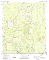
1962 Map of Smackover NE
USGS Topo · Published 1986About this map
The Ouachita River defines the southern boundary of this territory, where the water meanders through a complex network of backwaters and wetland features. The landscape is characterized by numerous brakes and sloughs, including Big Horseshoe Brake, Hollingsworth Brake, and Black Lake Slough, which suggest a seasonally shifting floodplain. On the higher ground north of the river, the map reveals a history of rural community life centered around small churches and family burial grounds like China Grove Ch and Primm Cem. Evidence of ancient habitation is also preserved at the Indian Mounds located near Cooks Lake. The northern half of the sheet shows more active human modification through several Gravel Pits and a network of unimproved roads connecting timber or agricultural lands.
Find a feature on this map
37 named features on this map. Tap any name to fly to it.
Don’t see what you’re looking for? This feature index may not catch every label — zoom into the map to look around manually.
Map Details
Editions of this 1962 Smackover NE Map
3 editions found
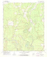
Other maps of this area

1903 · Camden
USGS Topo · 1:125,000

1934 · Moro Bay
USGS Topo · 1:62,500

1938 · Moro Bay
USGS Topo · 1:62,500

1939 · Moro Bay
USGS Topo · 1:62,500

1953 · El Dorado
USGS Topo · 1:250,000

1957 · El Dorado
USGS Topo · 1:250,000

1958 · El Dorado
USGS Topo · 1:250,000

1960 · El Dorado
USGS Topo · 1:250,000

1962 · Smackover NE
USGS Topo · 1:24,000

1962 · Smackover
USGS Topo · 1:24,000