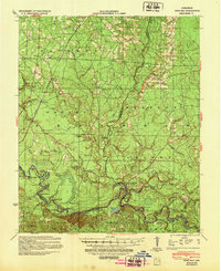
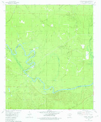
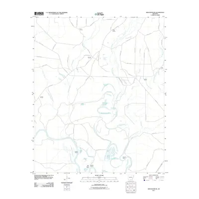
1939 Map of Moro Bay
USGS Topo · Published 1948About this map
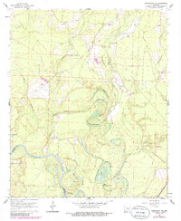
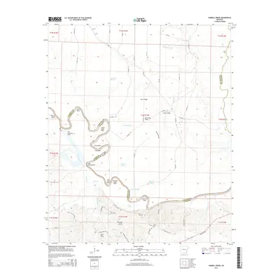
The Ouachita River defines the southern reach of this 1930s landscape, where a complex network of sloughs, bends, and landings illustrates the river-bottom economy at the intersection of Calhoun, Bradley, and Union Counties. Named river features like Bell Ginhouse Bend, Bangs Landing, and Stow Landing indicate a history of local commerce and navigation, while the interior is marked by the Chicago Rock Island and Pacific railroad corridor. The rural settlement pattern is anchored by local institutions, including the Union Grove Ch and Faustina Ch, alongside several district schools such as St Lena Sch and Ebenezer Sch. Significant family names are preserved in landmarks like Blann Br, Mack Slough, and Harvin Ridge, offering a clear look at the region’s topography before modern agricultural and infrastructure changes altered the drainage patterns of the Buckhorn Slough and surrounding ridges.
Find a feature on this map
71 named features on this map. Tap any name to fly to it.
Don’t see what you’re looking for? This feature index may not catch every label — zoom into the map to look around manually.
Map Details
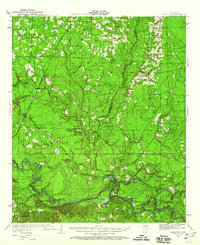
Editions of this 1939 Moro Bay Map
2 editions found
Historical Maps of Unco Through Time
33 maps found
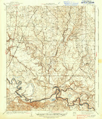
1934 Moro Bay
Calhoun County, AR
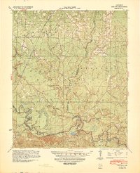
1938 Moro Bay
Calhoun County, AR
1939 Moro Bay
Calhoun County, AR
1962 Smackover NE
Calhoun County, AR
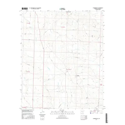
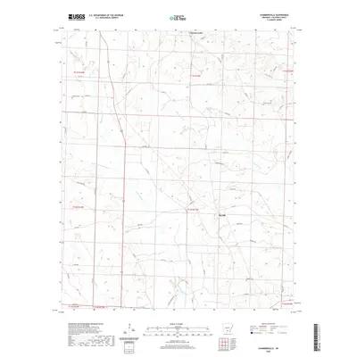
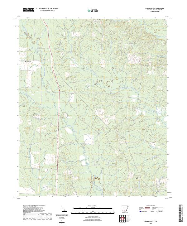
1973 Chambersville
Calhoun County, AR
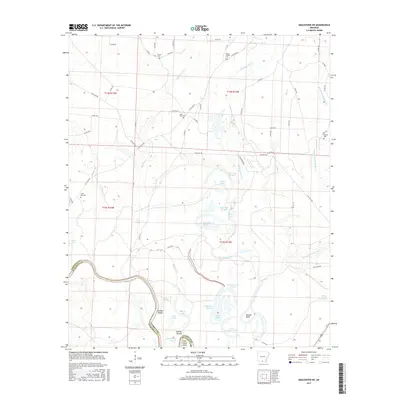
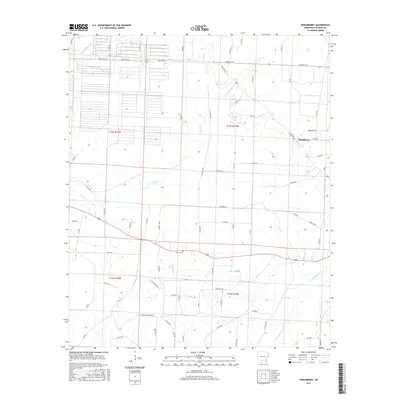
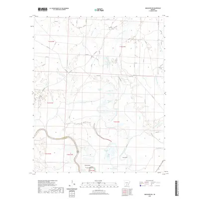
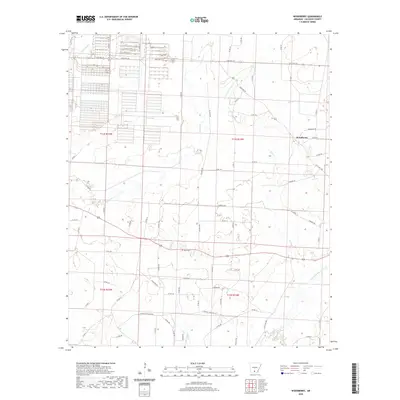
1973 Woodberry
Calhoun County, AR
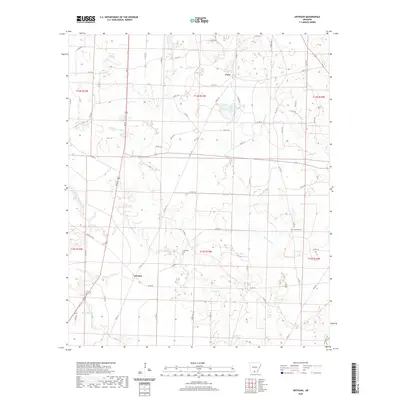
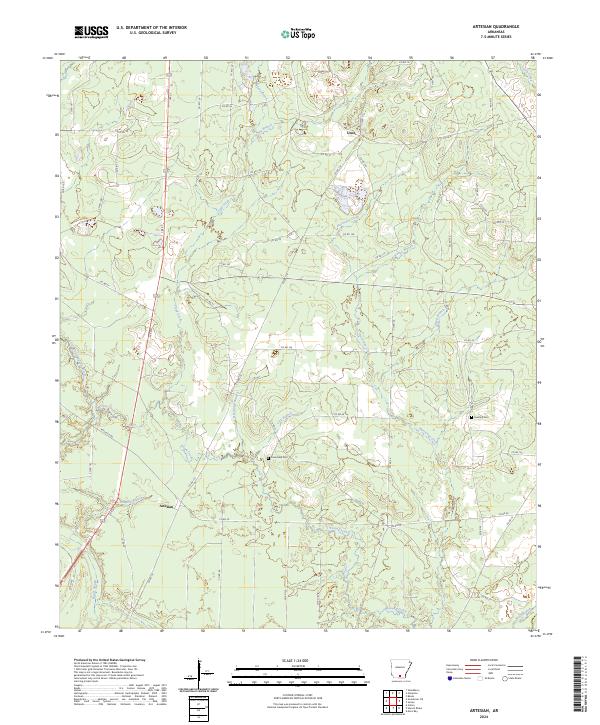
1981 Artesian
Calhoun County, AR
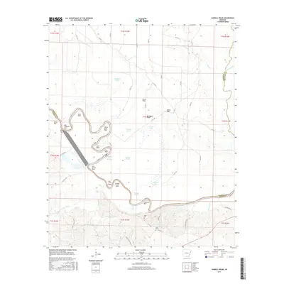
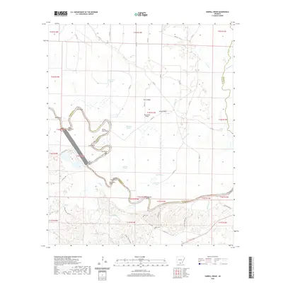
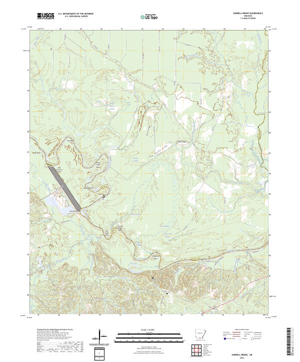
1981 Harrell Brake
Calhoun County, AR
2011 Artesian
Calhoun County, AR
2011 Chambersville
Calhoun County, AR
2011 Harrell Brake
Calhoun County, AR
2011 Smackover NE
Calhoun County, AR
2011 Woodberry
Calhoun County, AR
2014 Artesian
Calhoun County, AR
2014 Chambersville
Calhoun County, AR
2014 Harrell Brake
Calhoun County, AR
2014 Smackover NE
Calhoun County, AR
2014 Woodberry
Calhoun County, AR
2017 Artesian
Calhoun County, AR
2017 Chambersville
Calhoun County, AR
2017 Harrell Brake
Calhoun County, AR
2017 Smackover NE
Calhoun County, AR
2017 Woodberry
Calhoun County, AR
2020 Artesian
Calhoun County, AR
2020 Chambersville
Calhoun County, AR
2020 Harrell Brake
Calhoun County, AR
2020 Smackover NE
Calhoun County, AR
2020 Woodberry
Calhoun County, AR
2024 Artesian
Calhoun County, AR
2024 Chambersville
Calhoun County, AR
2024 Harrell Brake
Calhoun County, AR
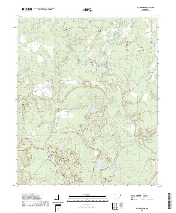
2024 Smackover NE
Calhoun County, AR
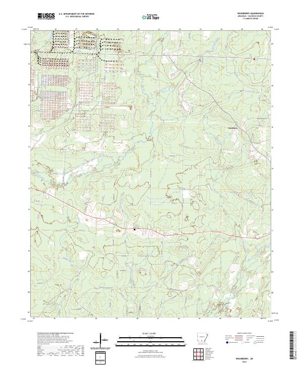
2024 Woodberry
Calhoun County, AR