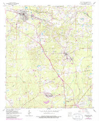
1962 Map of Smackover
USGS Topo · Published 1986About this map
Smackover and Norphlet are the industrial hearts of this south Arkansas landscape, positioned within the sprawling Smackover And Gas Field. The map reveals a dense network of energy infrastructure, from a massive Chemical Plant and Tank Farm in the south to multiple Oil Refineries clustered near the rail lines. The Missouri Pacific railroad serves as the primary corridor for moving resources through the undulating terrain of Smackover Creek and Holmes Creek.
Find a feature on this map
35 named features on this map. Tap any name to fly to it.
Don’t see what you’re looking for? This feature index may not catch every label — zoom into the map to look around manually.
Map Details
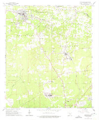
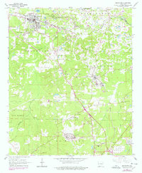
Editions of this 1962 Smackover Map
4 editions found

Other maps of this area

1927 · El Dorado
USGS Topo · 1:62,500

1930 · El Dorado
USGS Topo · 1:62,500

1951 · El Dorado
USGS Topo · 1:62,500

1953 · El Dorado
USGS Topo · 1:250,000

1957 · El Dorado
USGS Topo · 1:250,000

1958 · El Dorado
USGS Topo · 1:250,000

1960 · El Dorado
USGS Topo · 1:250,000

1962 · Lisbon
USGS Topo · 1:24,000

1962 · Louann
USGS Topo · 1:24,000

1962 · Smackover NE
USGS Topo · 1:24,000