Old Maps of Hobbtown, Arkansas for Academic Research
Study the evolution of Hobbtown with 14 high-resolution historic maps. Whether you're teaching, researching, or modeling changes in land use, these maps provide essential visual documentation of urban, environmental, and geographic change.
- Analyze long-term change: Track patterns in development, transportation, and natural features.
- Ideal for environmental or urban studies: Support academic projects with primary historical map data.
- Use in the classroom or lab: Educators and researchers rely on these maps to bring historical context to life.
These maps are a powerful tool for teaching, research, and visualizing how Hobbtown has changed over the decades.
Hobbtown, AR maps
(14)- 1898 Map of Winslow #3
 1898 Winslow #31898 Print · USGSCrawford County's rugged upland terrain is captured in the late 1890s just as the railroad began to transform the local economy. Researchers can trace early rural settlements like Uniontown and Cedarville or follow the St. L. & S. F. R. R. along Frog Bayou.
 - 1898 Map of Winslow, 1954 Print
 1898 Winslow1954 Print · USGSNorthwest Arkansas and the adjacent Indian Territory are captured here in the late nineteenth century as the railroad began to transform the high Ozarks. Genealogists can trace early homesteads and transport routes like the Quesenbury Road, Rheas Mill, and the mountain town of Winslow.
 - 1901 Map of Winslow
 1901 Winslow1901 Print · USGSThe Boston Mountains and the Arkansas border are captured here at the close of the nineteenth century, documenting the critical rail passage through the Ozarks. Genealogists and historians can trace the Frisco Line, the historic Old Wire Road, and early settlements like Cove City and Cane Hill.5 unique versions available
 - 1946 Map of Fort Smith
 1946 Fort Smith1946 Print · USGSThe Arkansas-Oklahoma borderlands appear here in the mid-forties, as new reservoirs began to transform the river valleys. Genealogists and historians can trace rail-served towns from Muskogee to Fort Smith and locate landmarks like Camp Chaffee.
 - 1965 Map of Fort Smith
 1965 Fort Smith1965 Print · USGSEastern Oklahoma and Western Arkansas are captured here during a period of massive post-war change as new reservoirs reshaped the river valleys. Genealogists and historians can trace the rail networks of the Midland Valley RR and find established communities like Stilwell, Sallisaw, and Stigler.
 - 1967 Map of Fort Smith
 1967 Fort Smith1967 Print · USGSThe Arkansas River valley and the foothills of the Ozarks are captured here during a period of significant military and industrial activity. Researchers can trace the sprawling bounds of Camp Chaffee and Camp Gruber or locate vanished rail stops along the Midland Valley RR.
 - 1969 Map of Rudy, 1971 Print
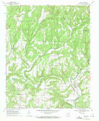 1969 Rudy1971 Print · USGSCrawford County's rural landscape is captured here in the late sixties as the rail-and-river economy centered on Rudy remained firmly in place. Genealogists can trace family histories through a high density of rural burial sites and meeting houses, including Sarah Grove Cem, McCurry Cem, and Oliver Springs Ch.4 unique versions available
 - 1978 Map of Fort Smith, 1979 Print
 1978 Fort Smith1979 Print · USGSThe Arkansas-Oklahoma borderlands in the late seventies show a landscape shaped by massive river reservoirs and sprawling military reservations. Trace the historic rail lines of the Missouri Pacific RR and locate regional landmarks like Fort Gibson, Tenkiller Ferry Lake, and Barling.2 unique versions available
 - 1978 Map of Stilwell, 1979 Print
 1978 Stilwell1979 Print · USGSThe Oklahoma-Arkansas borderlands come alive in the late seventies, showing the transition from the Cherokee Nation hills to the Arkansas Ozarks. Researchers can trace the Kansas City Southern rail line through Stilwell, find Wrights Chapel, or locate the Northeastern State College campus in Tahlequah.
 - 2011 Map of Rudy, 2011 Print
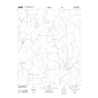 2011 Rudy2011 Print · USGSCrawford County settlements and the winding Frog Bayou define this Arkansas landscape in the early 2000s. Genealogists and local historians can trace family roots through numerous sites like Winfrey Cemetery, Kenner Chapel, and the community of Oliver Springs.
 - 2014 Map of Rudy, 2014 Print
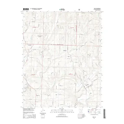 2014 Rudy2014 Print · USGSCrawford County settlements and the southern edge of the Ozark mountains are captured here in the early twenty-first century. Family history researchers can locate several small burial sites like Winfrey Cem and Johnson Cem, alongside rural landmarks such as Kenner Chapel.
 - 2017 Map of Rudy, 2017 Print
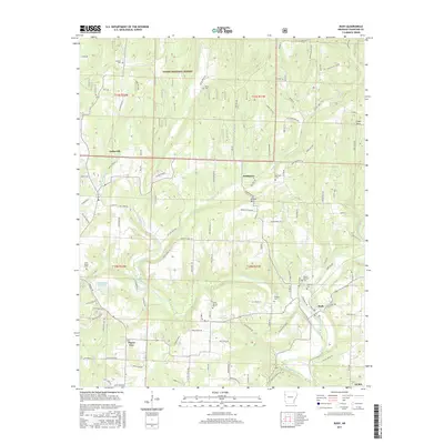 2017 Rudy2017 Print · USGSCrawford County settlements like Rudy and Cedarville are shown here during a period of modern residential growth alongside protected forest lands. Researchers can locate numerous local landmarks including Mount McCurry Cem, Winset Mtn, and the banks of Frog Bayou.
 - 2020 Map of Rudy, 2020 Print
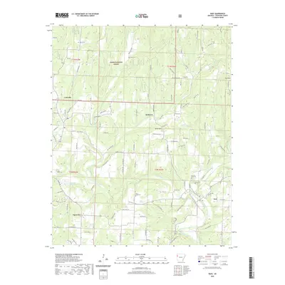 2020 Rudy2020 Print · USGSCrawford County at the start of the 2020s shows a landscape defined by the Ozark foothills and the winding Frog Bayou. You can trace historical family burial sites like Mount Mc Curry Cem and Sarah Grove Cem near settlements such as Hobbtown.
 - 2024 Map of Rudy, 2024 Print
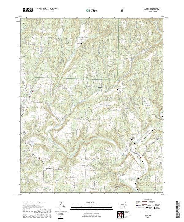 2024 Rudy2024 Print · USGSCrawford County settlements and the Ozark foothills are captured here in the contemporary era. Researchers can locate numerous family burial grounds including Sarah Grove Cem and Oliver Springs Cem, or trace the winding waters of Frog Bayou.
End of results
Showing maps 1-14 of 14
Top cities near Hobbtown
- Fort Smith historical maps
- Van Buren historical maps
- Alma historical maps
- Barling historical maps
- Roland historical maps
- Lavaca historical maps
See more
Frequently asked questions
- What are the different types of historical maps available for Hobbtown?
- What is the oldest map of Hobbtown?
- Where can I purchase historical maps of Hobbtown for my home or office?
- Where can I download high-res historical maps of Hobbtown?
- Are there historical topographic maps available for Hobbtown?
- Is there historical aerial imagery available for Hobbtown?
- Where are historical maps of Hobbtown sourced from?