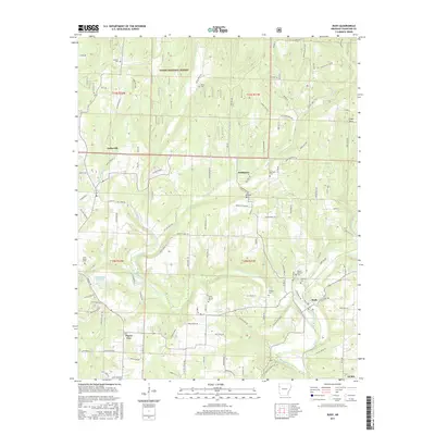
2017 Map of Rudy
USGS Topo · Published 2017About this map
Frog Bayou winds through the southeastern corner of this Crawford County landscape, where the settlements of Rudy and Hobbtown anchor a region defined by complex creek systems and sharp elevation changes. The northern portion of the map is dominated by the Ozark National Forest, while the southern reaches show the residential expansion of Alma and subdivisions like Beverly Hills and White Oak Est. Genealogists and local historians will find a high concentration of family and community burial sites, including Spencer Cem, Morrison Cem, and Winfrey Cem. The topography is punctuated by prominent landmarks such as Winset Mtn and High Rock, while the winding courses of Cedar Creek and W Cedar Cr illustrate the natural drainage patterns that have historically dictated road placement and property lines in this part of Arkansas.
Find a feature on this map
113 named features on this map. Tap any name to fly to it.
Don’t see what you’re looking for? This feature index may not catch every label — zoom into the map to look around manually.
Map Details
Editions of this 2017 Rudy Map
This is the sole edition of this map. No revisions or reprints were ever made.
Other maps of this area

1879 · Fort Smith
USGS Topo · 1:62,500

1887 · Van Buren
USGS Topo · 1:62,500

1890 · Fort Smith
USGS Topo · 1:125,000

1898 · Winslow #4
USGS Topo · 1:62,500

1898 · Winslow #3
USGS Topo · 1:62,500

1898 · Winslow
USGS Topo · 1:125,000

1901 · Winslow
USGS Topo · 1:125,000

1906 · Lavaca
USGS Topo · 1:62,500

1943 · Fort Smith
USGS Topo · 1:125,000

1946 · Fort Smith
USGS Topo · 1:250,000