2010s Maps of Crittenden County, Arkansas
Explore 77 historic maps of Crittenden County from the 2010s. These maps offer a rare glimpse into what life looked like during the 2010s — showing old roads, neighborhoods, homes, and landmarks that have changed or disappeared over time.
Whether you're researching your family's past, planning a metal detecting trip, or studying how Crittenden County's landscape evolved across the 2010s, these high-resolution maps are a powerful tool for exploring the history of this region.
- Focus on a specific era: All maps on this page are from the 2010s, giving you a focused view of this time period.
- See what’s changed: Compare century-old streets, trails, and buildings to today's modern landscape using overlays and satellite layers.
- Research with precision: Use these maps for genealogy, historical research, land use analysis, or educational projects.
- View, download, or print: Maps are fully viewable online in high resolution, and can be downloaded or printed for your own records.
Start exploring Crittenden County's history through authentic maps from the 2010s. This is your window into the past.
Crittenden County, AR maps
(77)- 2011 Map of Hughes, 2011 Print
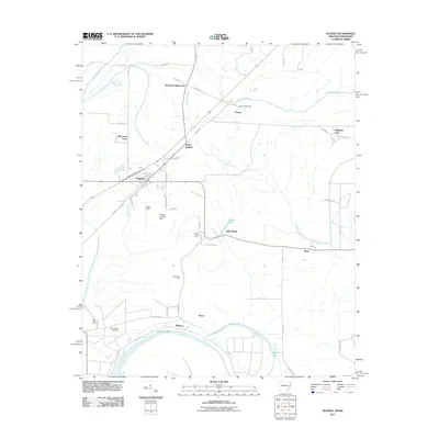 2011 Hughes2011 Print · USGSEastern Arkansas at the turn of the decade reveals a landscape of large-scale farming and bayou drainage centered on Hughes. Researchers can trace old family holdings like Davis Biggs Farm and Belle Meade or locate historical sites such as Saint Marys Cemetery.
 - 2011 Map of Robinsonville, 2011 Print
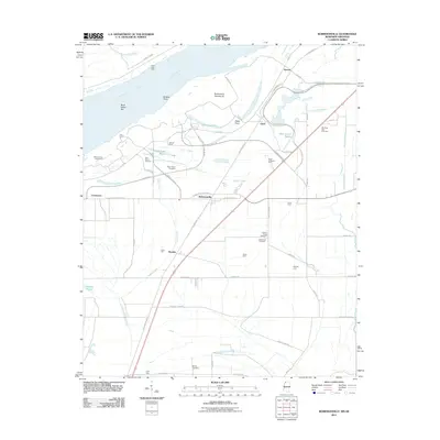 2011 Robinsonville2011 Print · USGSTunica County at the start of the 2010s reveals a unique intersection of modern gaming resorts and traditional Delta farm life. Researchers can trace ancestral sites at Saint Peters Cemetery or locate family tracts like Erwin Company Farm and Bowdre.
 - 2011 Map of Locke, 2011 Print
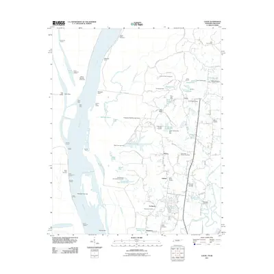 2011 Locke2011 Print · USGSThe Mississippi River bluffs north of Memphis are shown here during a period of steady suburban growth and riverfront management. Genealogists can locate several historic burial grounds like Benjestown Cemetery and trace old river landings such as Cigarette Landing.
 - 2011 Map of Gieseck, 2011 Print
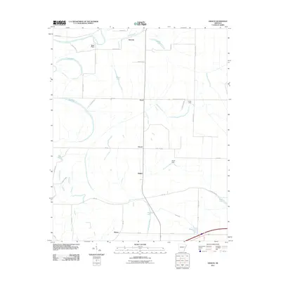 2011 Gieseck2011 Print · USGSThe Arkansas delta comes into focus in the early twenty-first century, showing a landscape shaped by water and agriculture. Researchers can trace rural lineages through local landmarks like Rose Place, Duvall, and Smith Lake.
 - 2011 Map of Edmondson, 2011 Print
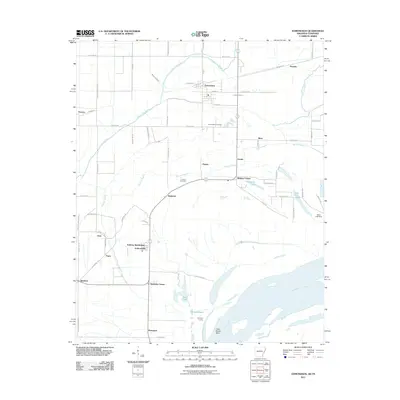 2011 Edmondson2011 Print · USGSThe Mississippi River bottomlands south of Memphis come alive in this 2011 survey, showing a landscape defined by bayous and river bends. Researchers can locate historic sites like Edmondson Cemetery, Ninetysix Landing, and the community of Anthonyville.
 - 2011 Map of Parkin, 2011 Print
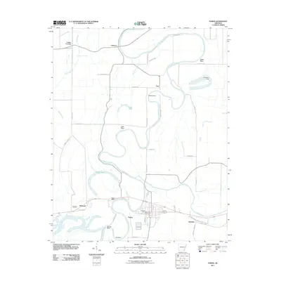 2011 Parkin2011 Print · USGSEastern Arkansas at the start of the decade is defined by the winding Saint Francis River and its rural settlements. Genealogists can trace family landmarks and local crossroads such as McDonald Cemetery, Yarbo Place, and Smithdale.
 - 2011 Map of Earle, 2011 Print
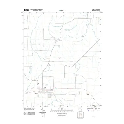 2011 Earle2011 Print · USGSCrittenden County's agricultural delta comes into focus during this 2010s survey of the Earle area. Genealogists can trace family footprints through a remarkable concentration of local burial sites, including Hood Cemetery, Richard Cemetery, and Berry Cemetery.
 - 2011 Map of Crawfordsville, 2011 Print
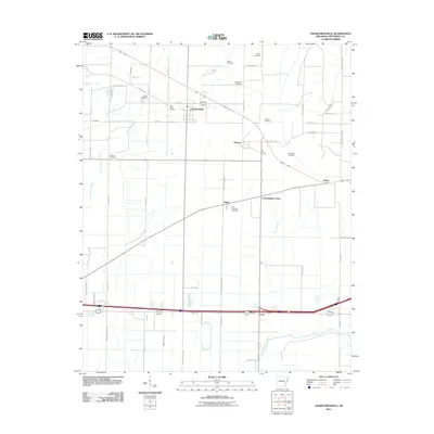 2011 Crawfordsville2011 Print · USGSCrittenden County in the early 2000s remains a landscape defined by its delta bayous and rural intersections. Genealogists can trace family history through numerous burial sites like Shiloh Cemetery and the settlements of Crawfordsville and Ebony.
 - 2011 Map of Tyronza, 2011 Print
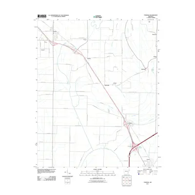 2011 Tyronza2011 Print · USGSThe Delta landscape of Poinsett and Crittenden Counties comes into focus in this recent survey of the Tyronza and Gilmore corridor. Local researchers can trace family landmarks like New Bethel Cemetery and Cherry Bean Cemetery or explore the rural reaches of Birdsong.
 - 2011 Map of Joyland, 2011 Print
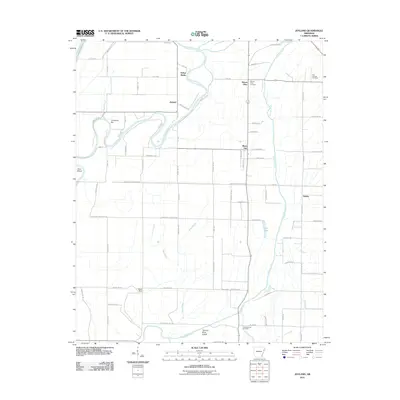 2011 Joyland2011 Print · USGSCrittenden County's river-bottom lands are shown here in the early twenty-first century, centered on the Saint Francis River. Genealogists and historians can trace local family landmarks like King Solomon Cemetery, Mount Olive Cemetery, and the settlement of Galilee.
 - 2011 Map of Chatfield, 2011 Print
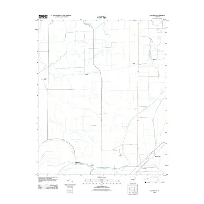 2011 Chatfield2011 Print · USGSCrittenden County at the turn of the century shows a landscape defined by delta bayous and rural crossroads. Researchers can trace family history through sites like Mount Zion Cemetery and settlements like Greasy Corner, Democrat, and Chatfield.
 - 2011 Map of West Memphis, 2011 Print
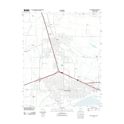 2011 West Memphis2011 Print · USGSWest Memphis and Marion are shown at a peak of modern development along the Mississippi River in the early 2010s. Trace local landmarks like the Southland Park Racetrack, the BNSF Railway lines, and the historic Mound City settlement.
 - 2011 Map of Frenchmans Bayou, 2011 Print
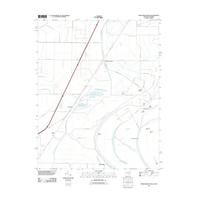 2011 Frenchmans Bayou2011 Print · USGSThe Mississippi River delta south of Joiner is captured here in the early twenty-first century, showing a landscape shaped by shifting waters and levee systems. Genealogists and local historians can trace family sites near Saint Thomas, Rupe Cemetery, and old river access points like Happy Valley Landing.
 - 2011 Map of Jeanette, 2011 Print
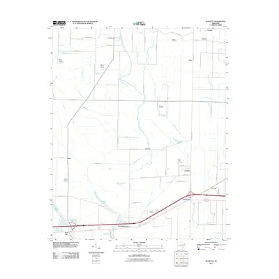 2011 Jeanette2011 Print · USGSCrittenden County at the start of the 2010s reveals a delta landscape defined by slow-moving bayous and established rural communities. Trace local history through family and community landmarks like Macedonia Cemetery, New Shady Grove, and the waters of Blackfish Lake.
 - 2011 Map of Jericho, 2011 Print
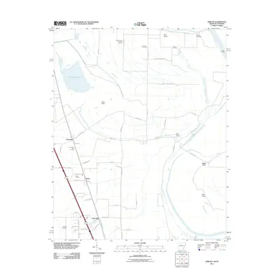 2011 Jericho2011 Print · USGSCrittenden County in the early twenty-first century remains a landscape of floodplain agriculture and river-bound settlements. Genealogists can locate several family and community landmarks, including New Mount Zion Cemetery, Malone Cemetery, and the quiet community of James Mill.
 - 2011 Map of Monterey, 2011 Print
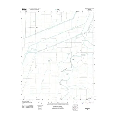 2011 Monterey2011 Print · USGSEastern Arkansas at the start of the 2010s reveals a delta landscape defined by the winding Saint Francis River. Genealogists and local historians can trace the rural layout of Fortune, the roads around Monterey, and the location of the Twist Post Office.
 - 2011 Map of Heafer, 2011 Print
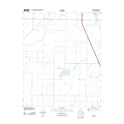 2011 Heafer2011 Print · USGSCrittenden County at the start of the 2010s is characterized by its agricultural grid and scattered rural communities. Genealogists can trace several burial sites including Saint Pauls Cemetery and Billow Cemetery near settlements like Heafer and Booker.
 - 2011 Map of Pecan Point, 2011 Print
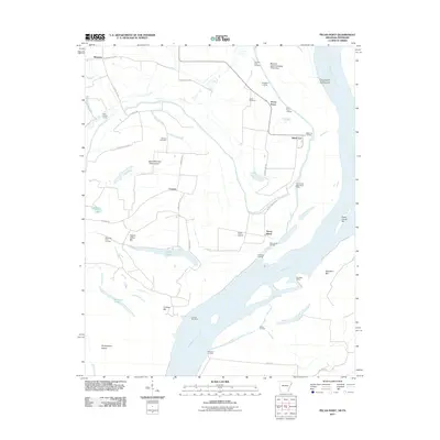 2011 Pecan Point2011 Print · USGSThe riverfront of Mississippi County is captured here just after the first decade of the new millennium. Researchers can trace the levee-protected lands of Deans Island and Pecan Point, locating family sites near Jacob Cemetery or riverfront markers like Black Cat Landing.
 - 2011 Map of Lake Cormorant, 2011 Print
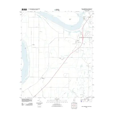 2011 Lake Cormorant2011 Print · USGSThe Mississippi Delta meets suburban expansion in the early 2000s south of Memphis. Researchers can trace historical river landings and local landmarks such as Walls Post Office, the settlement of Lake Cormorant, and the old rail corridor along W Railroad Ave.
 - 2011 Map of Fletcher Lake, 2011 Print
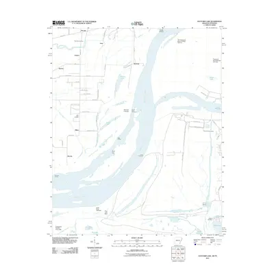 2011 Fletcher Lake2011 Print · USGSThe Mississippi River bottoms south of Memphis appear in 2011 as a landscape of shifting channels, industrial ports, and ancient history. Local researchers can trace old river landings like Biggs Landing or explore the site of Chucalissa Indian Village and Saint Johns Cemetery.
 - 2011 Map of Horseshoe Lake, 2011 Print
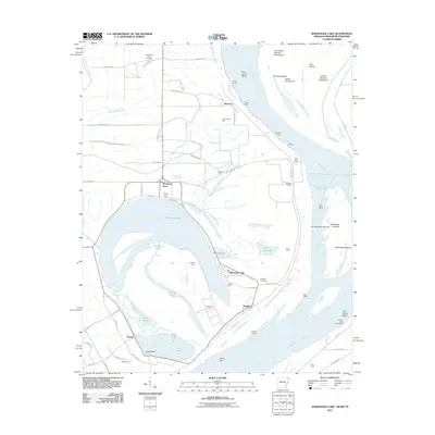 2011 Horseshoe Lake2011 Print · USGSThe oxbow of Horseshoe Lake and the winding Mississippi River define this river-bottom landscape in the early 2000s. Genealogists and researchers can trace family-named sites like Clarks Farm, Seyppel Landing, and Rodgers Cemetery.
 - 2011 Map of Southwest Memphis, 2011 Print
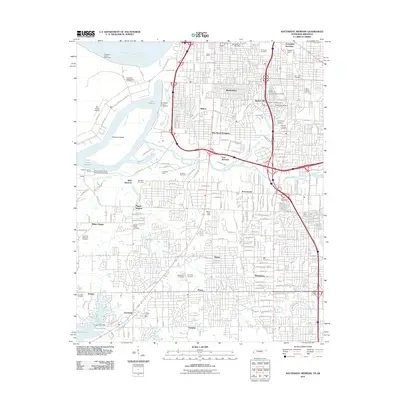 2011 Southwest Memphis2011 Print · USGSSouth Memphis at the start of the 2010s shows a landscape of heavy rail infrastructure and historic memorial gardens along the Mississippi. Researchers can trace family sites at Elmwood Cemetery or locate industrial landmarks like Johnston Yards and the Southland Mall.
 - 2011 Map of Northwest Memphis, 2011 Print
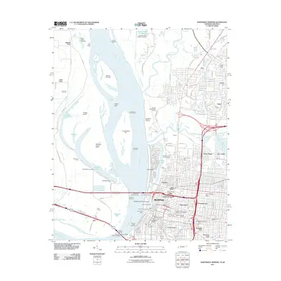 2011 Northwest Memphis2011 Print · USGSMemphis and its industrial riverfront are captured in this early 21st-century survey as the city's modern infrastructure and historic districts converge. Genealogists and historians can trace neighborhood developments in Stonewall Place and Hunt Village, or locate landmarks like Green Hill Cemetery.
 - 2011 Map of Council, 2011 Print
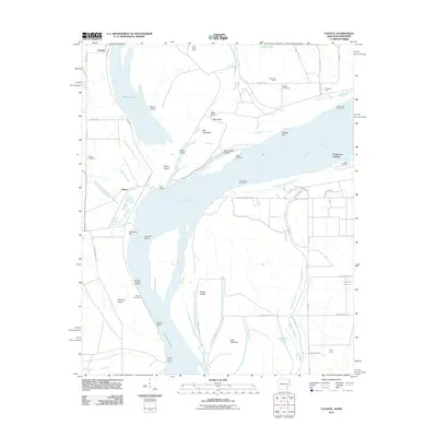 2011 Council2011 Print · USGSThe Arkansas-Mississippi borderlands along the great river are captured here in the early 21st century. Genealogists and local historians can trace family-named sites like Blue Point Farm, Happy Cemetery, and the historic river access at Commerce Landing.
 - 2012 Map of Robinsonville, 2012 Print
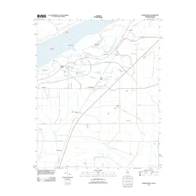 2012 Robinsonville2012 Print · USGSThe Mississippi Delta in Tunica County is shown here in the early twenty-first century as gaming and tourism reshaped the riverfront. Researchers can trace family history through sites like Saint Peters Cem and landmarks such as Penton, Bowdre, and Hollywood Brake.
Showing maps 1-25 of 77
Top cities of Crittenden County
- West Memphis historical maps
- Marion historical maps
- Earle historical maps
- Turrell historical maps
- Crawfordsville historical maps
- Clarkedale historical maps
See more
Frequently asked questions
- What are the different types of historical maps available for Crittenden County?
- What is the oldest map of Crittenden County?
- Where can I purchase historical maps of Crittenden County for my home or office?
- Where can I download high-res historical maps of Crittenden County?
- Are there historical topographic maps available for Crittenden County?
- Is there historical aerial imagery available for Crittenden County?
- Where are historical maps of Crittenden County sourced from?