2020s Maps of Crittenden County, Arkansas
Explore 45 historic maps of Crittenden County from the 2020s. These maps offer a rare glimpse into what life looked like during the 2020s — showing old roads, neighborhoods, homes, and landmarks that have changed or disappeared over time.
Whether you're researching your family's past, planning a metal detecting trip, or studying how Crittenden County's landscape evolved across the 2020s, these high-resolution maps are a powerful tool for exploring the history of this region.
- Focus on a specific era: All maps on this page are from the 2020s, giving you a focused view of this time period.
- See what’s changed: Compare century-old streets, trails, and buildings to today's modern landscape using overlays and satellite layers.
- Research with precision: Use these maps for genealogy, historical research, land use analysis, or educational projects.
- View, download, or print: Maps are fully viewable online in high resolution, and can be downloaded or printed for your own records.
Start exploring Crittenden County's history through authentic maps from the 2020s. This is your window into the past.
Crittenden County, AR maps
(45)- 2020 Map of Heafer, 2020 Print
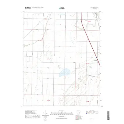 2020 Heafer2020 Print · USGSCrittenden County's agricultural heartland is documented here in the early twenty-first century, showing the enduring grid of delta farming. Genealogists can locate family burial sites at Saint Pauls Cem or Walnut Grove Cem and trace the roads connecting Turrell to Heafer.
 - 2020 Map of Edmondson, 2020 Print
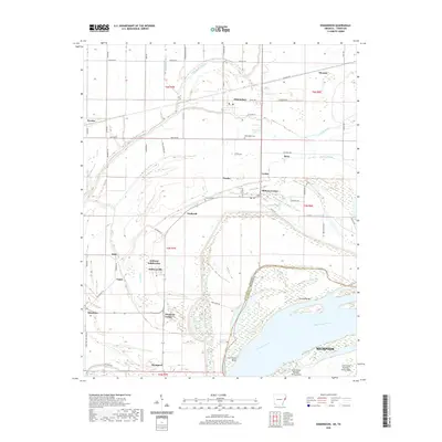 2020 Edmondson2020 Print · USGSCrittenden County and the edge of Memphis meet along the Mississippi River during this recent survey of the Arkansas-Tennessee border. Researchers can trace rural lineages through sites like Edmondson Cem and local communities such as Anthonyville and Proctor.
 - 2020 Map of West Memphis, 2020 Print
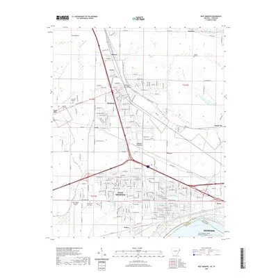 2020 West Memphis2020 Print · USGSWest Memphis and Marion sit at a critical transportation crossroads along the Mississippi River in this 2020 survey. Researchers can locate local landmarks like the Crittenden County Courthouse and Saint Johns Cem, or trace the paths of the BNSF RAILWAY and UNION PACIFIC RAILROAD.
 - 2020 Map of Tyronza, 2020 Print
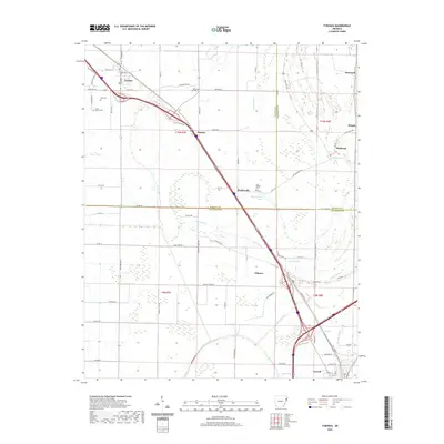 2020 Tyronza2020 Print · USGSThe Arkansas delta near the Poinsett and Crittenden county lines is captured here in recent years as a landscape of interconnected bayous and rural settlements. Researchers can trace local history through sites like Cherry Bean Cem and the communities of Birdsong and Tyronza.
 - 2020 Map of Jericho, 2020 Print
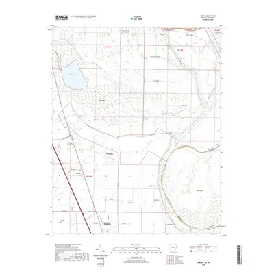 2020 Jericho2020 Print · USGSCrittenden County at the Arkansas-Tennessee border reveals a landscape shaped by the Mississippi's path and a network of small farming communities. Researchers can trace family sites at Malone Cem and New Mount Zion Cem or explore the area around Wapanocca Lake.
 - 2020 Map of Monterey, 2020 Print
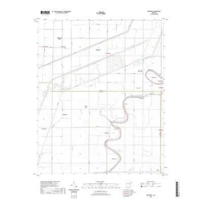 2020 Monterey2020 Print · USGSThe Arkansas delta comes alive in this survey of the riverlands at the Poinsett and Cross county border. Genealogists and researchers can trace the rural communities of Monterey and Twist or locate specific river landmarks like Cow Island and Fortune Bar.
 - 2020 Map of Frenchmans Bayou, 2020 Print
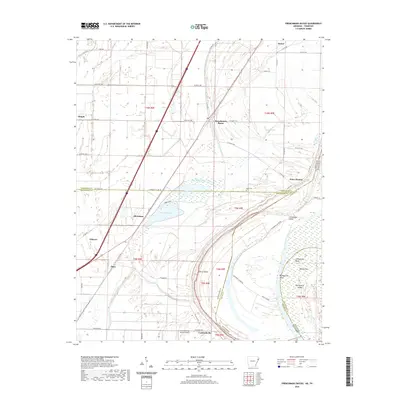 2020 Frenchmans Bayou2020 Print · USGSThe riverfront communities of Mississippi and Crittenden counties are shown here as they appeared in the early 2020s. Researchers can trace local landmarks like Rupe Cem or explore the shifting geography of Devils Elbow and Meneshea Lake.
 - 2020 Map of Parkin, 2020 Print
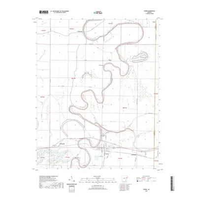 2020 Parkin2020 Print · USGSThe river-carved landscape of Cross County is captured here in the contemporary era, centered on the historic river town of Parkin. Researchers can trace local lineage through the Parkin Archeological State Park Cem or locate old community hubs like Coldwater, Togo, and Smithdale.
 - 2020 Map of Fletcher Lake, 2020 Print
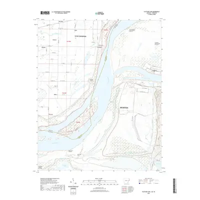 2020 Fletcher Lake2020 Print · USGSThe Mississippi River corridor south of Memphis shows a stark divide between industrial port development and rural riverfront settlements in this 2020 survey. Researchers can trace land use from the heavy industry on Presidents Island Number Forty-five to local landmarks like New Salem Cem and the Wyanoke Crevasse.
 - 2020 Map of Chatfield, 2020 Print
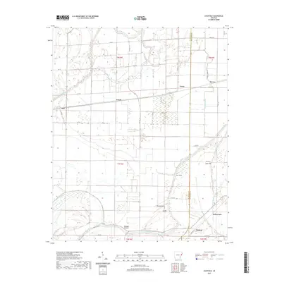 2020 Chatfield2020 Print · USGSCrittenden and St. Francis counties are mapped here in the modern era, showing the enduring agricultural layout of the Arkansas Delta. Genealogists and researchers can pinpoint Mount Zion Cem and trace the small communities of Greasy Corner and Chatfield.
 - 2020 Map of Joyland, 2020 Print
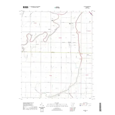 2020 Joyland2020 Print · USGSThe river bottoms of Crittenden and Poinsett counties are captured here in the contemporary era, showing a landscape shaped by the Saint Francis River. Genealogists can locate several local burial sites like Mount Olive Cem and King Solomon Cem near the communities of Joyland and Galilee.
 - 2020 Map of Pecan Point, 2020 Print
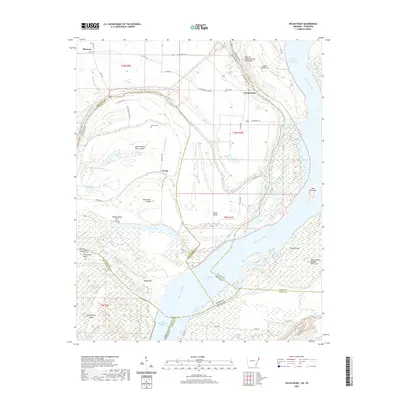 2020 Pecan Point2020 Print · USGSThe shifting channels of the Mississippi River define this borderland between Arkansas and Tennessee. Genealogists and river historians can trace family burial grounds at Jacob Cem and explore the historic reaches of Centennial Island and Pecan Point.
 - 2020 Map of Jeanette, 2020 Print
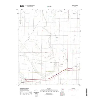 2020 Jeanette2020 Print · USGSCrittenden and St. Francis counties are shown here as they appeared in 2020, centered on the wetlands of the Arkansas Delta. Family researchers can locate numerous burial sites including Mount Hermon Cem, Kinsey Cem, and the Stokes Airport landing strip.
 - 2020 Map of Crawfordsville, 2020 Print
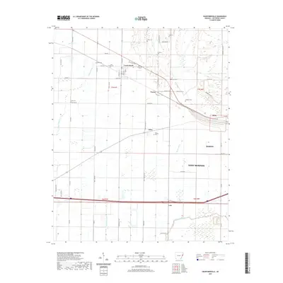 2020 Crawfordsville2020 Print · USGSCrittenden County's agricultural heartland is detailed here in the late twenty-teens, showing the traditional Delta landscape of bayous and scattered farmsteads. Genealogists can trace family landmarks like Saint Stephens Cem, Raspberry Cem, and the small community of Julius.
 - 2020 Map of Gieseck, 2020 Print
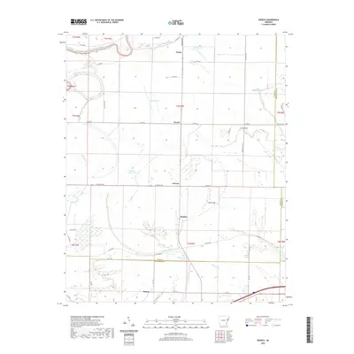 2020 Gieseck2020 Print · USGSEastern Arkansas at the turn of the 21st century remains a landscape shaped by its river systems and agricultural roots. Local historians can trace the intricate waterways from Saint Francis River to the small rural communities of Gieseck, Gladden, and Midway.
 - 2020 Map of Earle, 2020 Print
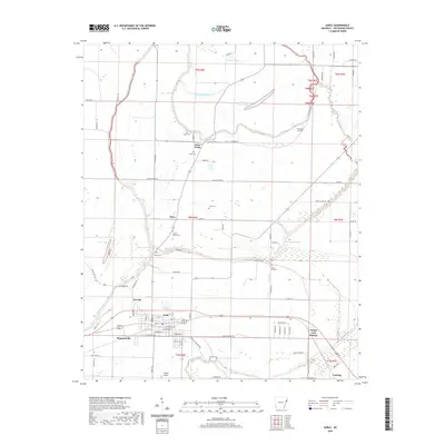 2020 Earle2020 Print · USGSThe town of Earle and its surrounding Delta farmland are captured here in the contemporary era. Genealogists can locate several family-named burial sites like Berry Cem and Layton Cem, while tracing the banks of Gibson Bayou and the Tyronza River.
 - 2020 Map of Council, 2020 Print
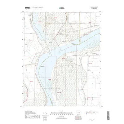 2020 Council2020 Print · USGSThe Mississippi River Delta comes alive in this contemporary survey of the borderlands between Arkansas and Mississippi. Researchers can trace the legacy of the river's movement through Council Island, locate family sites at Peters Cem, and explore the old settlement at Commerce.
 - 2020 Map of Hughes, 2020 Print
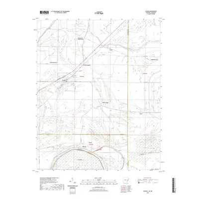 2020 Hughes2020 Print · USGSThe Arkansas delta comes into focus on the borders of St. Francis and Lee Counties in the early twenty-first century. Researchers can trace family history and land use near Saint Marys Cem, Sycamore Bend Farm, and the residential blocks of Hughes.
 - 2020 Map of Horseshoe Lake, 2020 Print
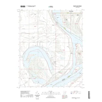 2020 Horseshoe Lake2020 Print · USGSThe oxbows and islands of the Mississippi River floodplain are documented here during the early twenty-first century. Researchers can locate family landmarks like New Mount Zion Cem and trace the early settlements of Pinckney and Bruins near the river levee.
 - 2020 Map of Robinsonville, 2020 Print
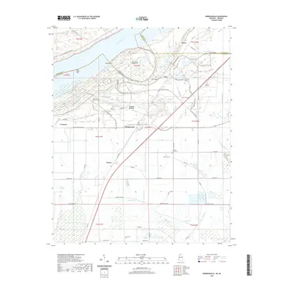 2020 Robinsonville2020 Print · USGSTunica County at the dawn of the 2020s shows a landscape of river-bend history and modern development. Genealogists can trace family names at Johnson Chapel Cem and Rainey Cem or locate the site of Commerce along the Mississippi River Levee.
 - 2020 Map of Lake Cormorant, 2020 Print
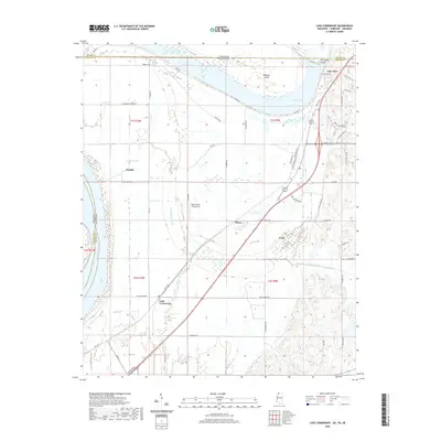 2020 Lake Cormorant2020 Print · USGSThe Mississippi Delta's borderlands are captured in this recent survey, where the river meets the plains of Mississippi and Tennessee. Genealogists and local historians can trace family locations near Lake Cormorant, Walls, and Lake View.
 - 2022 Map of Locke, 2022 Print
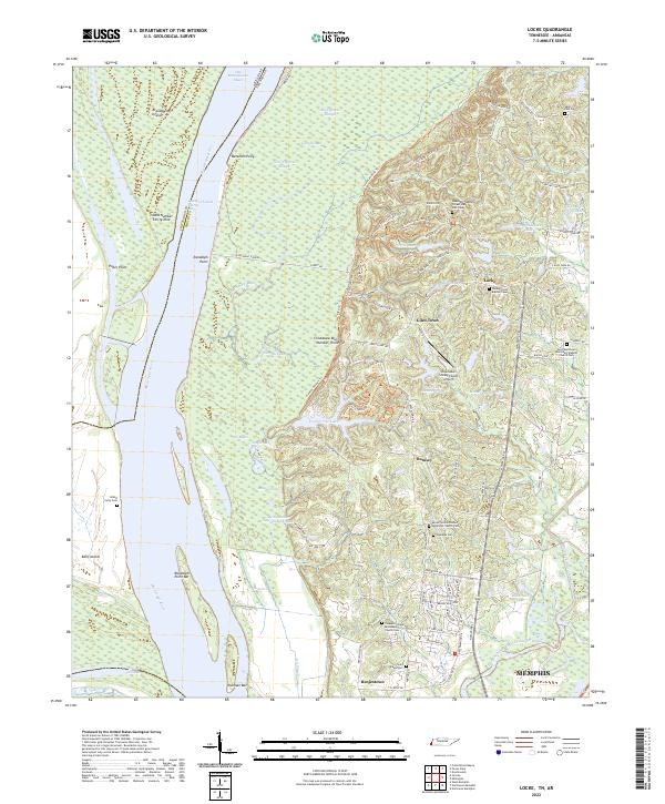 2022 Locke2022 Print · USGSThe Mississippi River bottoms north of Memphis are revealed here in the early twenty-first century, where the river's path dictates the border between Tennessee and Arkansas. Genealogists can trace family sites near Giles Town or locate rural burials at Oaklawn Cemetery and Island Forty Cemetery.
 - 2022 Map of Northwest Memphis, 2022 Print
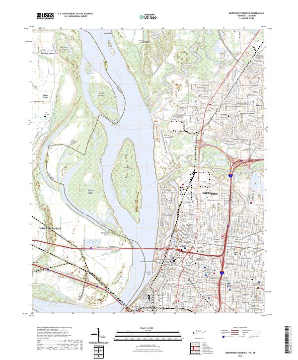 2022 Northwest Memphis2022 Print · USGSThe riverfront of Memphis and West Memphis is captured here as it appeared in the early 2020s, revealing a landscape of high bluffs and complex waterways. Researchers can trace local burial sites and medical campuses from the Monastery of Saint Clare Cem to the College of Pharmacy.
 - 2022 Map of Southwest Memphis, 2022 Print
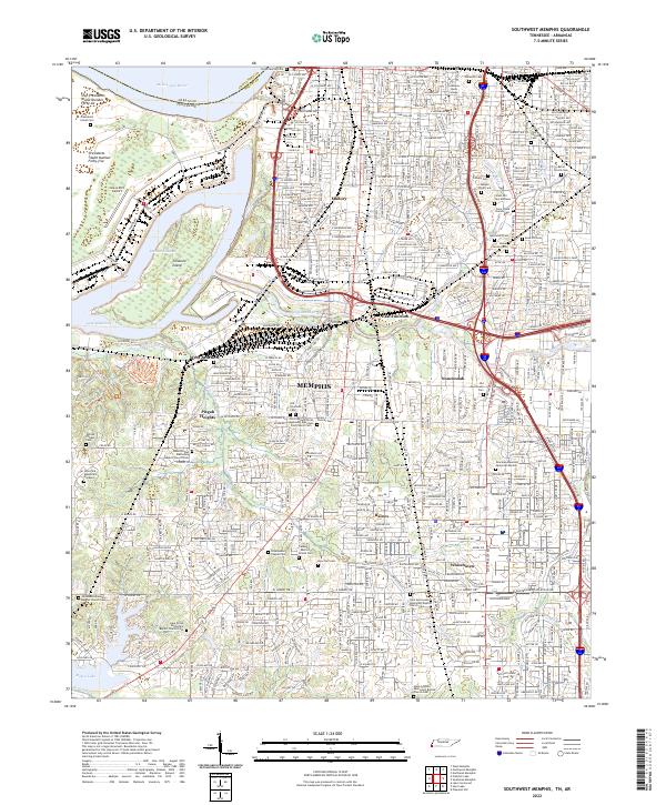 2022 Southwest Memphis2022 Print · USGSSouth Memphis and the Mississippi riverfront are captured here in the early twenty-first century. Genealogists and historians can locate Elmwood Cem, LeMoyne - Owen College, and the iconic Graceland Mansion Memorial Garden.
 - 2024 Map of Fletcher Lake, 2024 Print
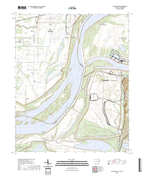 2024 Fletcher Lake2024 Print · USGSThe Mississippi River borderlands between Arkansas and Tennessee are captured here in the contemporary era. Researchers can trace the massive Mississippi River Levee and locate landmarks like Saint Johns Cem, Wyanoke Crevasse, and Riceville.
Showing maps 1-25 of 45
Top cities of Crittenden County
- West Memphis historical maps
- Marion historical maps
- Earle historical maps
- Turrell historical maps
- Crawfordsville historical maps
- Clarkedale historical maps
See more
Frequently asked questions
- What are the different types of historical maps available for Crittenden County?
- What is the oldest map of Crittenden County?
- Where can I purchase historical maps of Crittenden County for my home or office?
- Where can I download high-res historical maps of Crittenden County?
- Are there historical topographic maps available for Crittenden County?
- Is there historical aerial imagery available for Crittenden County?
- Where are historical maps of Crittenden County sourced from?