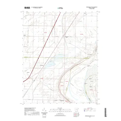
2020 Map of Frenchmans Bayou
USGS Topo · Published 2020About this map
Frenchmans Bayou meanders through the fertile alluvial plains of Northeast Arkansas, defining a landscape where water and agriculture are inextricably linked. The settlement of Joiner serves as a northern anchor in this region, which is marked by the shifting path of the river and the complex drainage of Bellhammer Slough and Lamb Bayou. The map captures the intricate jurisdictional boundaries where Mississippi Co meets Crittenden Co and the state line transitions between Arkansas and Tennessee.
Find a feature on this map
59 named features on this map. Tap any name to fly to it.
Don’t see what you’re looking for? This feature index may not catch every label — zoom into the map to look around manually.
Map Details
Editions of this 2020 Frenchmans Bayou Map
This is the sole edition of this map. No revisions or reprints were ever made.
Other maps of this area

1931 · Jericho
USGS Topo · 1:62,500
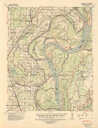
1939 · Jericho
USGS Topo · 1:62,500
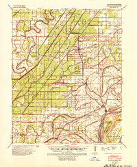
1939 · Evadale
USGS Topo · 1:62,500

1940 · Deckerville
USGS Topo · 1:62,500

1941 · Marked Tree
USGS Topo · 1:62,500
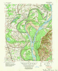
1952 · Jericho
USGS Topo · 1:62,500

1953 · Memphis
USGS Topo · 1:250,000
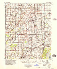
1956 · Evadale
USGS Topo · 1:62,500
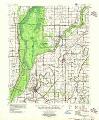
1956 · Marked Tree
USGS Topo · 1:62,500

1956 · Memphis
USGS Topo · 1:250,000