
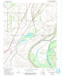
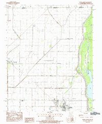
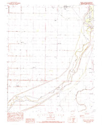
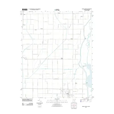
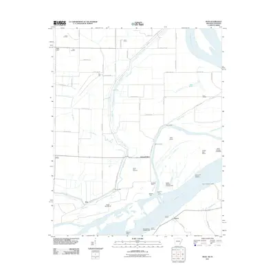
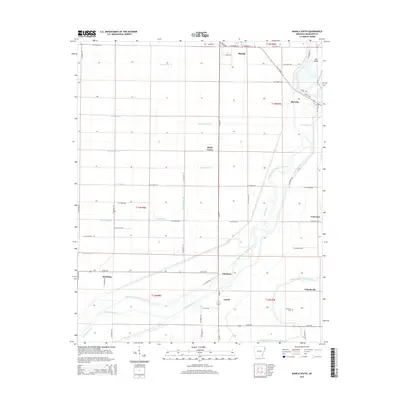
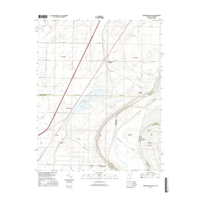
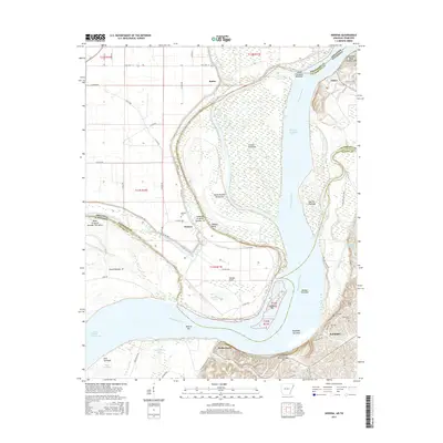
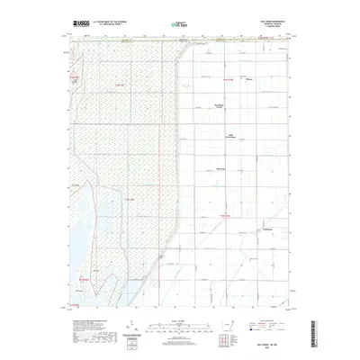
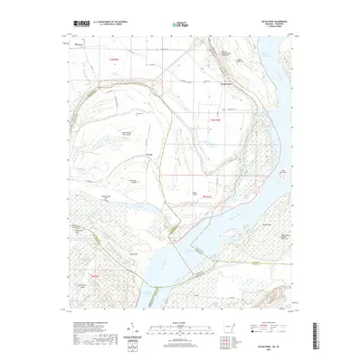
1956 Map of Evadale
USGS Topo · Published 1956About this map
The St Louis-San Francisco railroad cuts a diagonal path through Mississippi County, anchoring a landscape defined by its complex relationship with the Mississippi River. This mid-century survey reveals an intricate network of drainage ditches and levees protecting established river towns like Wilson and Joiner. The presence of the Golden Lake Crevasse near the Arkansas River border serves as a reminder of the region's alluvial volatility.
Find a feature on this map
96 named features on this map. Tap any name to fly to it.
Don’t see what you’re looking for? This feature index may not catch every label — zoom into the map to look around manually.
Map Details
Editions of this 1956 Evadale Map
This is the sole edition of this map. No revisions or reprints were ever made.
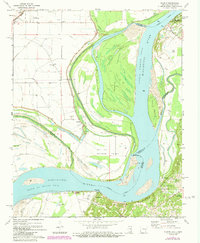
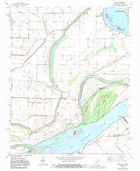
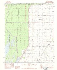
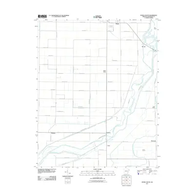
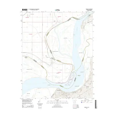
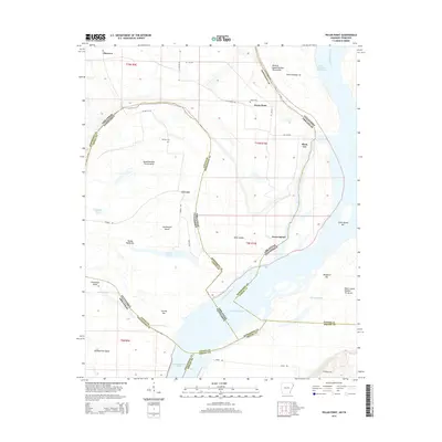
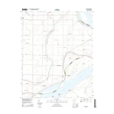
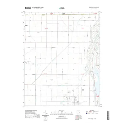
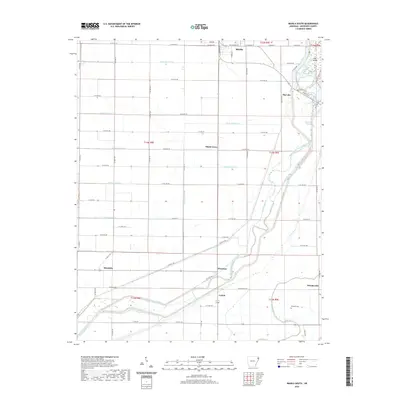
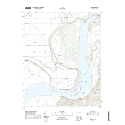
Historical Maps of Osceola Through Time
45 maps found

1939 Evadale
Mississippi County, AR

1939 Hales Point
Mississippi County, AR

1952 Hales Point
Mississippi County, AR
1956 Evadale
Mississippi County, AR
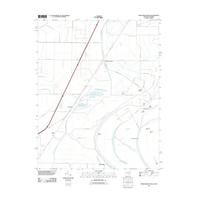
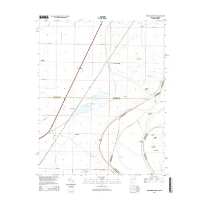
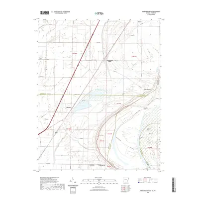
1970 Frenchmans Bayou
Mississippi County, AR
1972 Nodena
Mississippi County, AR
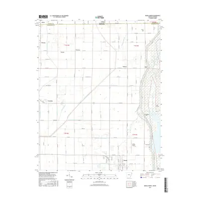
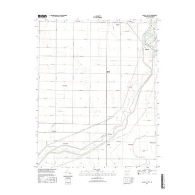
1972 Rosa
Mississippi County, AR
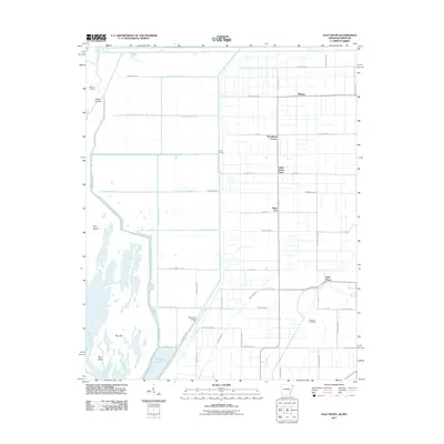
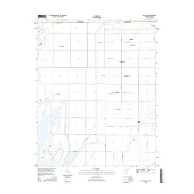
1983 Half Moon
Mississippi County, AR
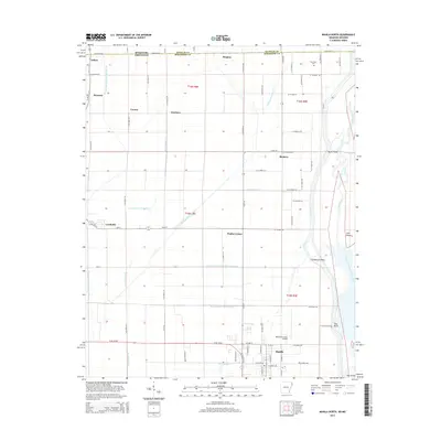
1983 Manila North
Mississippi County, AR
1983 Manila South
Mississippi County, AR
2011 Frenchmans Bayou
Mississippi County, AR
2011 Half Moon
Mississippi County, AR
2011 Manila North
Mississippi County, AR
2011 Manila South
Mississippi County, AR
2011 Nodena
Mississippi County, AR
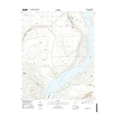
2011 Pecan Point
Mississippi County, AR
2011 Rosa
Mississippi County, AR
2014 Frenchmans Bayou
Mississippi County, AR
2014 Half Moon
Mississippi County, AR
2014 Manila North
Mississippi County, AR
2014 Manila South
Mississippi County, AR
2014 Nodena
Mississippi County, AR
2014 Pecan Point
Mississippi County, AR
2014 Rosa
Mississippi County, AR
2017 Frenchmans Bayou
Mississippi County, AR
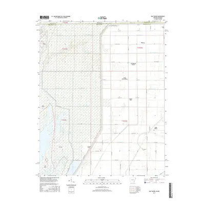
2017 Half Moon
Mississippi County, AR
2017 Manila North
Mississippi County, AR
2017 Manila South
Mississippi County, AR
2017 Nodena
Mississippi County, AR
2017 Pecan Point
Mississippi County, AR
2017 Rosa
Mississippi County, AR
2020 Frenchmans Bayou
Mississippi County, AR
2020 Half Moon
Mississippi County, AR
2020 Manila North
Mississippi County, AR
2020 Manila South
Mississippi County, AR
2020 Nodena
Mississippi County, AR
2020 Pecan Point
Mississippi County, AR
2020 Rosa
Mississippi County, AR
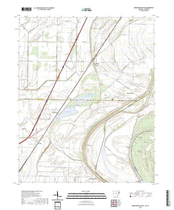
2024 Frenchmans Bayou
Mississippi County, AR
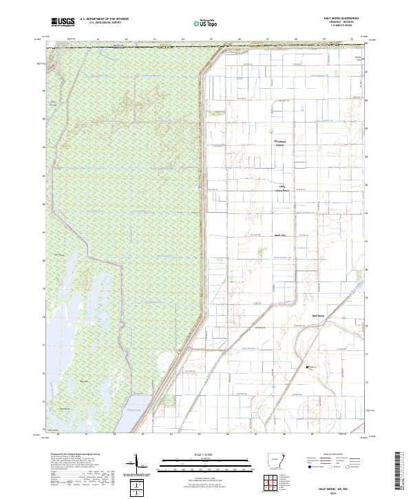
2024 Half Moon
Mississippi County, AR
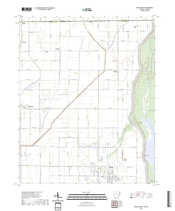
2024 Manila North
Mississippi County, AR
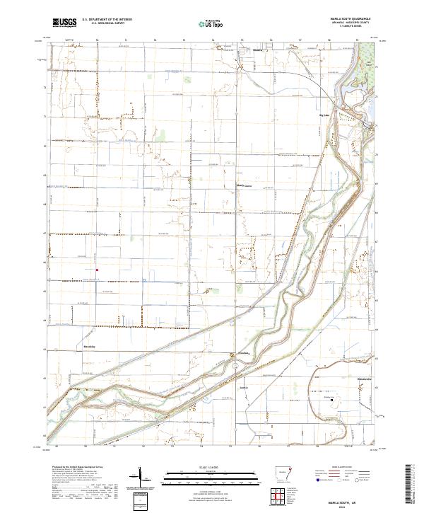
2024 Manila South
Mississippi County, AR
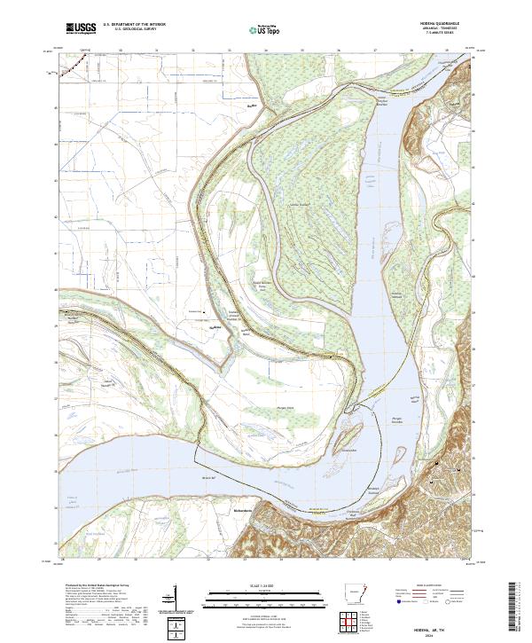
2024 Nodena
Mississippi County, AR
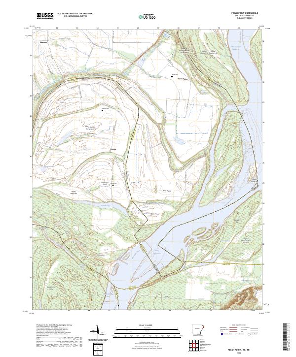
2024 Pecan Point
Mississippi County, AR
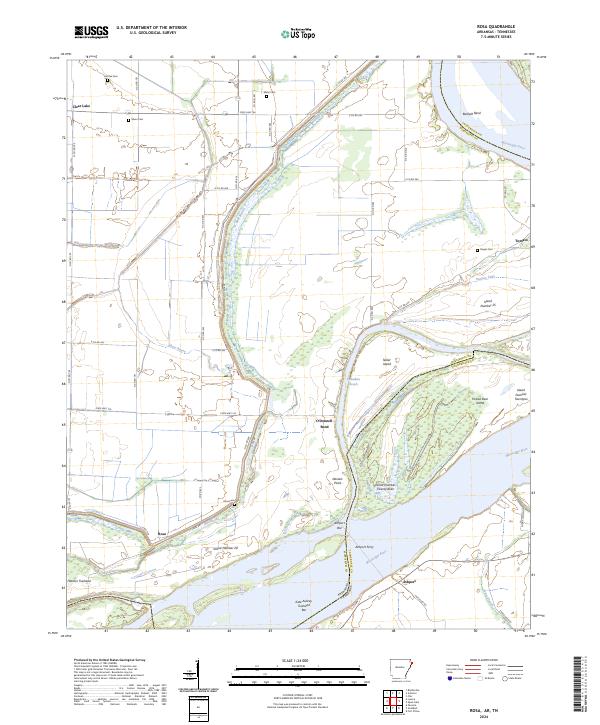
2024 Rosa
Mississippi County, AR