Old Maps of Hamlin, Arkansas for Genealogy
Trace your family roots with 11 historic maps of Hamlin. These high-res maps reveal old neighborhoods, homesites, landmarks, and streets — helping you uncover where your ancestors lived and how the area evolved over time.
- Explore historic neighborhoods: Identify where your relatives may have lived in the 1800s or 1900s.
- Compare maps over time: Trace the changes in streets, buildings, and landmarks for multi-generational research.
- Perfect for genealogy & ancestry research: Used by family historians and researchers to map out lineage and migration.
These maps are an incredible resource for exploring your personal connection to Hamlin's past.
Hamlin, AR maps
(11)- 1939 Map of Wynne, 1941 Print
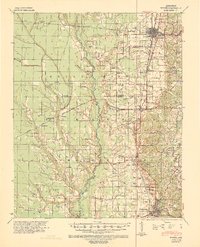 1939 Wynne1941 Print · USGSEastern Arkansas at the end of the thirties was a region defined by the L'Anguille River and a thriving network of small rail towns and rural parishes. Researchers can trace ancestral roots through dozens of local landmarks like Wick Mill, Smith Chapel, and Bible Union Sch.2 unique versions available
 - 1953 Map of Memphis, 1966 Print
 1953 Memphis1966 Print · USGSEastern Arkansas and the Memphis riverfront are shown here during the mid-century period of regional growth and river management. Local historians can trace the paths of the Chicago Rock Island & Pacific RR through Forrest City or locate river landmarks like President's Island.3 unique versions available
 - 1956 Map of Memphis
 1956 Memphis1956 Print · USGSThe Mississippi Delta and the bluffs of West Tennessee meet in the mid-fifties, showing a landscape defined by massive river systems and rail hubs. Researchers can trace the path of Crowleys Ridge or locate vanished river landings near Centennial Island and Island No 35.
 - 1958 Map of Wynne
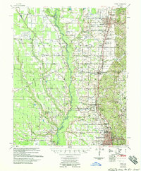 1958 Wynne1958 Print · USGSEastern Arkansas in the late fifties shows a landscape of vibrant rail towns and rural parishes between Wynne and Forrest City. Genealogists and historians can trace dozens of landmarks like Slonikers Mill, Cogbill Cem, and Hedge Providence Ch.2 unique versions available
 - 1984 Map of Hamlin, 1985 Print
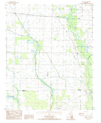 1984 Hamlin1985 Print · USGSThe Cross County delta region is captured here in the early 1980s, showing a landscape defined by the winding L'Anguille River and a vast irrigation network. Genealogists can locate family landmarks like Ellis Chapel and the small communities of Hamlin and Pinetree.2 unique versions available
 - 1986 Map of Memphis West
 1986 Memphis West1986 Print · USGSThe Mississippi River delta and the rise of Crowleys Ridge define this mid-1980s look at the Mid-South. Researchers can trace the development of West Memphis and Marion or locate landmarks like Crittenden Mem Cem and Village Creek State Park.2 unique versions available
 - 2011 Map of Hamlin, 2011 Print
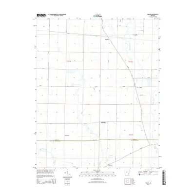
 2011 Hamlin2011 Print · USGSCovers Hamlin, including Pinetree, Wick Mill, and other nearby areas
 - 2014 Map of Hamlin, 2014 Print
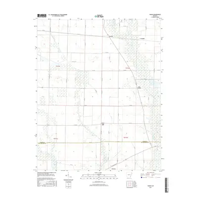
 2014 Hamlin2014 Print · USGSCovers Hamlin, including Pinetree, Wick Mill, and other nearby areas
 - 2017 Map of Hamlin, 2017 Print
 2017 Hamlin2017 Print · USGSCovers Hamlin, including Pinetree, Wick Mill, and other nearby areas
 - 2020 Map of Hamlin, 2020 Print
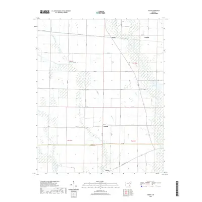 2020 Hamlin2020 Print · USGSCovers Hamlin, including Pinetree, Wick Mill, and other nearby areas
 - 2024 Map of Hamlin, 2024 Print
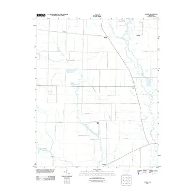
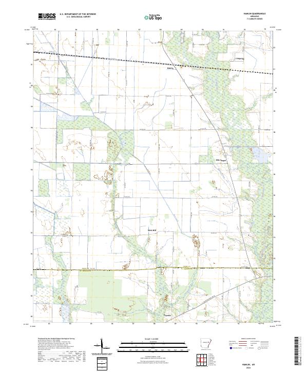 2024 Hamlin2024 Print · USGSThe rural borderlands of Cross and St. Francis Counties are documented here in the early twenty-first century. Genealogists and local historians can trace the roads and waterways connecting communities like Hamlin, Pinetree, and the historic site of Ellis Chapel.
End of results
Showing maps 1-11 of 11
Top cities near Hamlin
- Forrest City historical maps
- Wynne historical maps
- Madison historical maps
- Cherry Valley historical maps
- Caldwell historical maps
- Colt historical maps
See more
Frequently asked questions
- What are the different types of historical maps available for Hamlin?
- What is the oldest map of Hamlin?
- Where can I purchase historical maps of Hamlin for my home or office?
- Where can I download high-res historical maps of Hamlin?
- Are there historical topographic maps available for Hamlin?
- Is there historical aerial imagery available for Hamlin?
- Where are historical maps of Hamlin sourced from?