Loading...
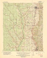
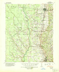
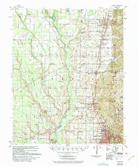
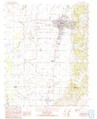
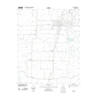
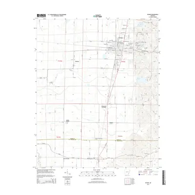
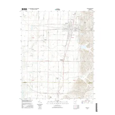
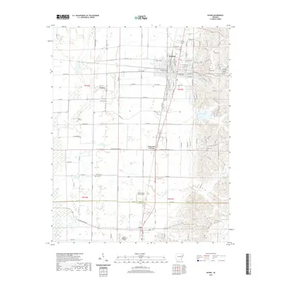
Loading map...1939 Map of Wynne
USGS Topo · Published 1941About this map
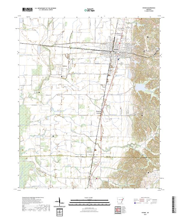
The L'Anguille River and its meandering bottomlands define this portion of eastern Arkansas, where the Missouri Pacific and St Louis San Francisco railroads intersect at the regional hub of Wynne. During the late 1930s, the landscape was a dense network of rural communities and crossroads, including Pinetree, Colt, and Caldwell. Historical transportation routes are prominent, most notably the traces of the Military Road and Old Military Road which cut across Cross County and St Francis County.
Find a feature on this map
60 named features on this map. Tap any name to fly to it.
Don’t see what you’re looking for? This feature index may not catch every label — zoom into the map to look around manually.
Map Details
Date Portrayed1939
Date Published1941
PublisherU.S. Geological Survey
Map TypeTopographic
Scale1:62,500
Physical Dimensions17.06 x 21.07 inches
Editions of this 1939 Wynne Map
2 editions found
Historical Maps of Forrest City Through Time
8 maps found
Featured Locations
Source Details
SourceU.S. Geological Survey
CopyrightPublic Domain