Old Maps of Princeton, Arkansas for Metal Detecting
Plan your next treasure hunt with 14 historic maps of Princeton. Find old homesites, ghost towns, trails, and gathering spots that may be lost to time — perfect for identifying promising metal detecting locations.
- Locate forgotten sites: Uncover places like long-lost settlements, abandoned rail lines, or gathering spots.
- Plan better hunts: Use map overlays combined with LiDAR or satellite views to narrow in on historically rich areas.
- Made for detectorists: Thousands of hobbyists use these maps to discover relics, coins, and hidden history.
Use these historic maps to boost your research and find new opportunities beneath the surface of Princeton.
Princeton, AR maps
(14)- 1903 Map of Camden
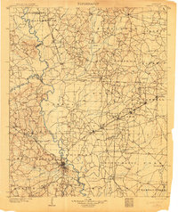 1903 Camden1903 Print · USGSSouth Arkansas at the turn of the century reveals a landscape of river-bend commerce and emerging rail towns along the Ouachita River. Trace family roots in early settlements like Holly Springs, Bearden, and the industrial hub at Eagle Mills.3 unique versions available
 - 1953 Map of El Dorado, 1967 Print
 1953 El Dorado1967 Print · USGSSouth Arkansas in the mid-1960s was a landscape of industrial growth and river-fed commerce. Researchers can trace the extensive Oil and Gas Fields around Magnolia, the expansive U S Naval Ammunition Depot, and the busy rail lines of the Missouri Pacific.3 unique versions available
 - 1957 Map of El Dorado
 1957 El Dorado1957 Print · USGSSouth Arkansas in the mid-1950s was a critical hub of military logistics and rail-river commerce. Genealogists and historians can trace family land across the Arkansas Louisiana border and locate sites like the U.S. Naval Ammunition Depot or the rail junctions at Magnolia and Camden.
 - 1958 Map of El Dorado
 1958 El Dorado1958 Print · USGSSouthern Arkansas and the Louisiana borderlands are shown during a period of heavy rail traffic and defense industry activity. Researchers can trace the legacy of the U. S. Naval Ammunition Depot or locate family roots in Smackover, Huttig, and Nashville.3 unique versions available
 - 1960 Map of El Dorado
 1960 El Dorado1960 Print · USGSSouth Central Arkansas in the late fifties was a hub of energy production and defense industry. Researchers can trace the extensive Oil and Gas Fields around El Dorado or locate family landmarks like Old Park Cem and New Hope Church.
 - 1973 Map of Princeton East, 1975 Print
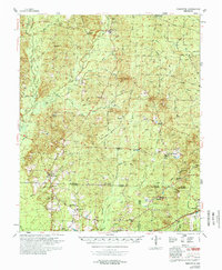
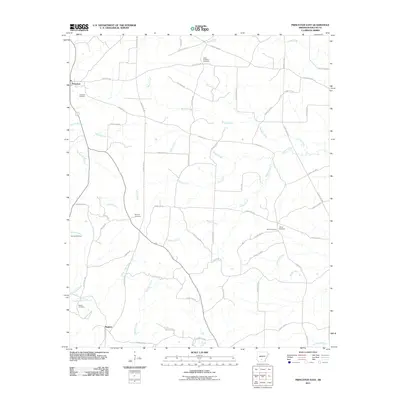
 1973 Princeton East1975 Print · USGSDallas County was a landscape of timber and rural community in the 1970s, as seen through this detailed survey. Researchers can trace family sites at Princeton Cem and Liberty Cem, or follow old paths like Eagle Tram Road and Billy Jones Road.2 unique versions available
 - 1978 Map of Princeton
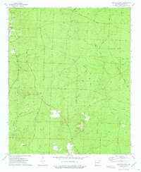
 1978 Princeton1978 Print · USGSSouth Arkansas rural life is captured here in the late 1970s as timber and rail lines defined the local economy. Researchers can trace family roots at Princeton Cem and Macedonia Ch or locate industrial sites like the Fish Hatchery and numerous Gravel Pits.
 - 1986 Map of Camden
 1986 Camden1986 Print · USGSSouth Arkansas in the 1980s remains a landscape shaped by river valleys and the legacy of the timber industry. Researchers can trace the massive Abandoned Ammunition Depot or locate family roots in Eagle Mills, Bearden, and Tinsman.
 - 1989 Map of El Dorado, 1990 Print
 1989 El Dorado1990 Print · USGSThe Arkansas-Louisiana borderlands in the late eighties show a landscape of heavy industry and wildlife conservation centered on the Ouachita River. Researchers can trace the legacy of timber and transport via the Missouri Pacific RR, Poison Springs State Forest, and the vast Felsenthal Pool.
 - 2011 Map of Princeton East, 2011 Print
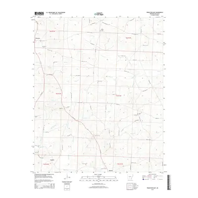
 2011 Princeton East2011 Print · USGSCovers Princeton, including Eagletie, Dallas County, and other nearby areas
 - 2014 Map of Princeton East, 2014 Print
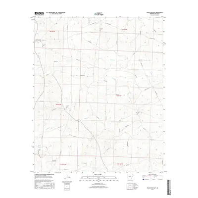
 2014 Princeton East2014 Print · USGSCovers Princeton, including Eagletie, Dallas County, and other nearby areas
 - 2017 Map of Princeton East, 2017 Print
 2017 Princeton East2017 Print · USGSCovers Princeton, including Eagletie, Dallas County, and other nearby areas
 - 2020 Map of Princeton East, 2020 Print
 2020 Princeton East2020 Print · USGSCovers Princeton, including Eagletie, Dallas County, and other nearby areas
 - 2024 Map of Princeton East, 2024 Print
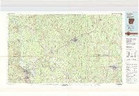
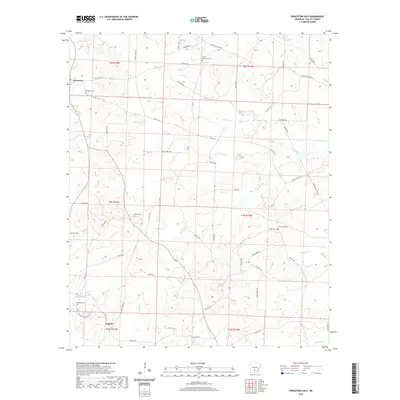
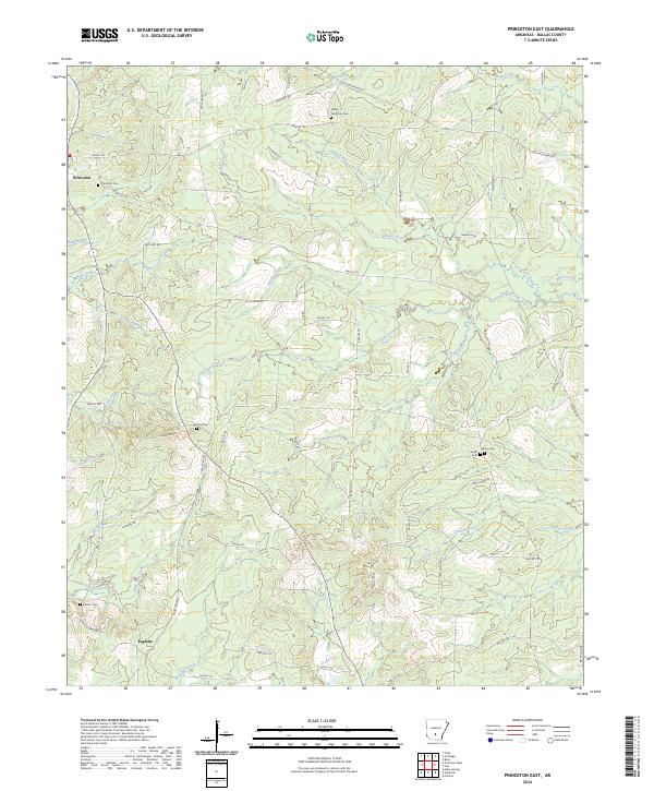 2024 Princeton East2024 Print · USGSDallas County comes into focus in this contemporary survey of the rural landscape around Princeton. Genealogists can trace family names through numerous burial sites like Vetter - Kauffman Cem, Tanyard Cem, and the settlement at Eagletie.
End of results
Showing maps 1-14 of 14
Top cities near Princeton
- Fordyce historical maps
- Leola historical maps
- Sparkman historical maps
- Thornton historical maps
- Carthage historical maps
Frequently asked questions
- What are the different types of historical maps available for Princeton?
- What is the oldest map of Princeton?
- Where can I purchase historical maps of Princeton for my home or office?
- Where can I download high-res historical maps of Princeton?
- Are there historical topographic maps available for Princeton?
- Is there historical aerial imagery available for Princeton?
- Where are historical maps of Princeton sourced from?