Old Maps of Dumas, Arkansas for Academic Research
Study the evolution of Dumas with 25 high-resolution historic maps. Whether you're teaching, researching, or modeling changes in land use, these maps provide essential visual documentation of urban, environmental, and geographic change.
- Analyze long-term change: Track patterns in development, transportation, and natural features.
- Ideal for environmental or urban studies: Support academic projects with primary historical map data.
- Use in the classroom or lab: Educators and researchers rely on these maps to bring historical context to life.
These maps are a powerful tool for teaching, research, and visualizing how Dumas has changed over the decades.
Dumas, AR maps
(25)- 1935 Map of Rotan, 1942 Print
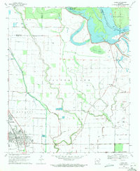
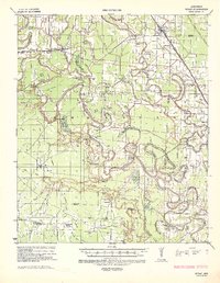 1935 Rotan1942 Print · USGSThe Arkansas delta comes to life in the mid-1930s as a complex network of timber camps, bayous, and rail towns. Genealogists can trace the rural communities of Rotan and Gould, or locate family sites at Thomas Cem and New Bethel Ch.2 unique versions available
 - 1935 Map of Red Fork, 1943 Print
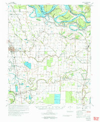
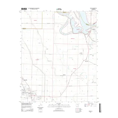
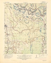 1935 Red Fork1943 Print · USGSDesha County's riverfront and rail lines are captured here in the mid-1930s, showing a landscape shaped by the Arkansas River. Researchers can trace the Missouri Pacific corridor through Dumas or locate the Indian Mound near Red Fork.3 unique versions available
 - 1953 Map of Greenwood, 1966 Print
 1953 Greenwood1966 Print · USGSThe Mississippi Delta in the mid-fifties is captured here as a thriving network of river towns, railroads, and oxbow lakes. Researchers can trace the legacy of the Illinois Central Railroad and locate landmarks like the State Penal Farm and Greenville Air Force Base.5 unique versions available
 - 1956 Map of Greenwood
 1956 Greenwood1956 Print · USGSThe Mississippi Delta in the mid-fifties is captured here during a period of significant military and agricultural activity. Researchers can trace the rail lines of the Illinois Central RR, find the Greenville Air Force Base, or locate the State Penal Farm.
 - 1964 Map of Gould, 1965 Print
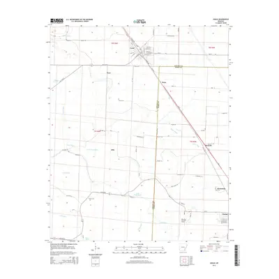
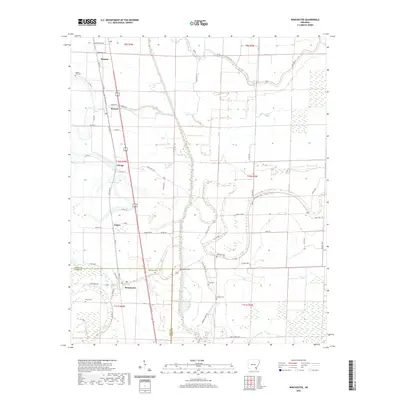
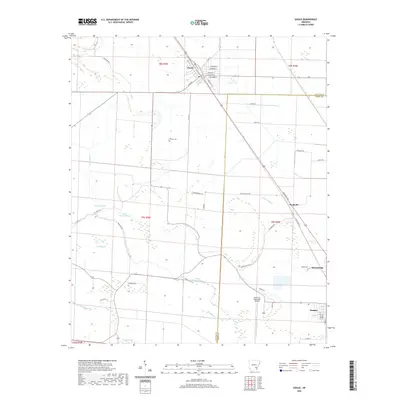
 1964 Gould1965 Print · USGSSoutheast Arkansas in the mid-sixties reveals a landscape of delta farming shaped by bayous and new irrigation canals. Genealogists and local historians can trace rural communities through landmarks like Wells Bayou Sch, Thomas Chapel, and the Missouri Pacific line through Gould.2 unique versions available
 - 1968 Map of Rotan
 1968 Rotan1968 Print · USGSThe Arkansas Delta of the late sixties comes alive through its network of bayous and rural crossroads. Genealogists can trace family roots through landmarks like Smyrna Ch, the Wells Bayou School, and Dark Corners Church.
 - 1969 Map of Winchester, 1971 Print
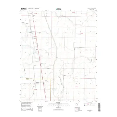
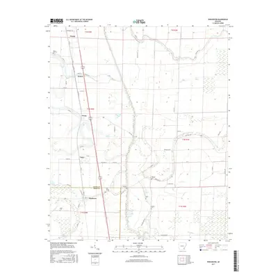
 1969 Winchester1971 Print · USGSThe Arkansas Delta comes to life in the late sixties as aquaculture and rail lines shape the landscape near the Desha and Drew county line. Trace family roots and local history at Winchester, Pickens, and numerous rural burial grounds like Jefferson Cem.2 unique versions available
 - 1969 Map of Dumas, 1971 Print
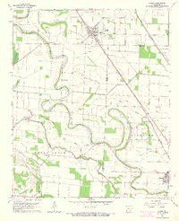
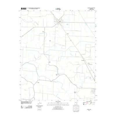
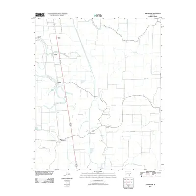
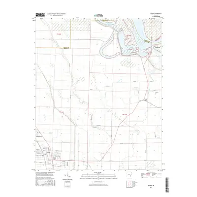
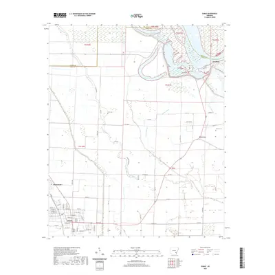
 1969 Dumas1971 Print · USGSThe Arkansas Delta comes to life in the late 1960s as a landscape of river-bend lakes and rail-side towns. Genealogists can locate family landmarks like Havis Chapel, the Pendleton Ferry crossing, and the rural Leach Cem near the river's edge.2 unique versions available
 - 1971 Map of Dumas
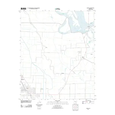
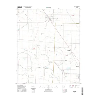
 1971 Dumas1971 Print · USGSSoutheast Arkansas in the early seventies shows a landscape defined by the shifting Arkansas River and a deep-rooted railroad economy. Genealogists and historians can trace numerous rural congregations and family burial sites, including Claiborne Chapel, Jerusalem Cem, and the Memorial Cem near Rohwer.
 - 1986 Map of Dumas
 1986 Dumas1986 Print · USGSSoutheast Arkansas in the mid-eighties shows a landscape defined by the winding Mississippi River and the Missouri Pacific Railroad corridor. Genealogists can trace family roots through river towns like Arkansas City and the rail-junction history of McGehee.2 unique versions available
 - 2011 Map of Gould, 2011 Print
 2011 Gould2011 Print · USGSCovers Dumas, including Gould, Mitchellville, and other nearby areas
 - 2011 Map of Dumas, 2011 Print
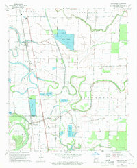
 2011 Dumas2011 Print · USGSCovers Dumas, including Mitchellville, Back Gate, and other nearby areas
 - 2011 Map of Winchester, 2011 Print
 2011 Winchester2011 Print · USGSCovers Dumas, including Winchester, Pickens, and other nearby areas
 - 2014 Map of Gould, 2014 Print
 2014 Gould2014 Print · USGSCovers Dumas, including Gould, Mitchellville, and other nearby areas
 - 2014 Map of Winchester, 2014 Print
 2014 Winchester2014 Print · USGSCovers Dumas, including Winchester, Pickens, and other nearby areas
 - 2014 Map of Dumas, 2014 Print
 2014 Dumas2014 Print · USGSCovers Dumas, including Mitchellville, Back Gate, and other nearby areas
 - 2017 Map of Gould, 2017 Print
 2017 Gould2017 Print · USGSCovers Dumas, including Gould, Mitchellville, and other nearby areas
 - 2017 Map of Winchester, 2017 Print
 2017 Winchester2017 Print · USGSCovers Dumas, including Winchester, Pickens, and other nearby areas
 - 2017 Map of Dumas, 2017 Print
 2017 Dumas2017 Print · USGSCovers Dumas, including Mitchellville, Back Gate, and other nearby areas
 - 2020 Map of Winchester, 2020 Print
 2020 Winchester2020 Print · USGSCovers Dumas, including Winchester, Pickens, and other nearby areas
 - 2020 Map of Dumas, 2020 Print
 2020 Dumas2020 Print · USGSCovers Dumas, including Mitchellville, Back Gate, and other nearby areas
 - 2020 Map of Gould, 2020 Print
 2020 Gould2020 Print · USGSCovers Dumas, including Gould, Mitchellville, and other nearby areas
 - 2024 Map of Gould, 2024 Print
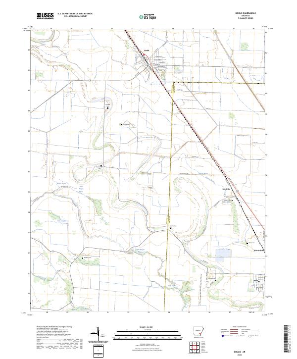 2024 Gould2024 Print · USGSThe Delta country of Lincoln and Desha counties comes into focus in this recent survey of the Gould area. Genealogists and local historians can locate many rural burial sites including Madden Cem, Linder Cem, and Free Gift Cem.
 - 2024 Map of Winchester, 2024 Print
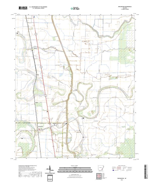 2024 Winchester2024 Print · USGSThe Arkansas Delta around the Drew and Desha county line is captured in this recent survey. Genealogists and local historians can locate many family sites such as Walnut Lake Cem, Big Mount Olive Cem, and the community of Winchester.
 - 2024 Map of Dumas, 2024 Print
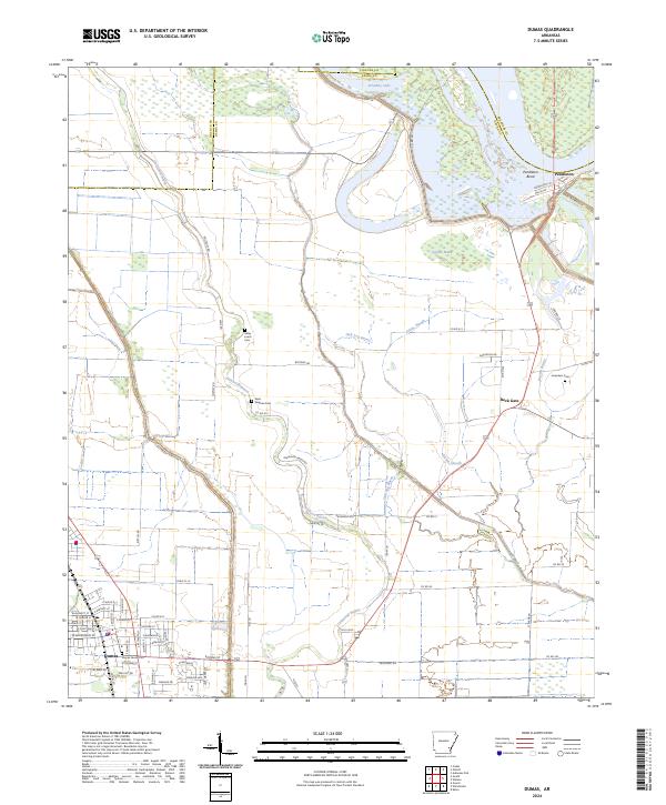 2024 Dumas2024 Print · USGSThe Arkansas delta near the Lincoln and Desha county line is captured here in the early 2020s, showing the intersection of town life and river geography. Researchers can trace family history at the Dumas Family Plot or the rural Jerusalem Cem near Back Gate.
End of results
Showing maps 1-25 of 25
Top cities near Dumas
- McGehee historical maps
- Gould historical maps
- Grady historical maps
- Mitchellville historical maps
- Watson historical maps
- Tillar historical maps
See more
Frequently asked questions
- What are the different types of historical maps available for Dumas?
- What is the oldest map of Dumas?
- Where can I purchase historical maps of Dumas for my home or office?
- Where can I download high-res historical maps of Dumas?
- Are there historical topographic maps available for Dumas?
- Is there historical aerial imagery available for Dumas?
- Where are historical maps of Dumas sourced from?