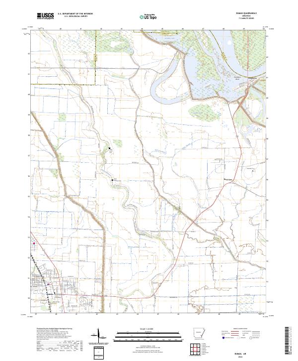
2024 Map of Dumas
USGS Topo · Published 2024About this map
The Dumas city plan and surrounding delta lowlands are dominated by a complex network of bayous and drainage features, reflecting the agricultural character of this Arkansas landscape. The city center is intricately detailed with residential street names such as Pickens St, W Waterman St, and E Wolfe St, while the Dumas Family Plot serves as a small but significant genealogical landmark. To the northeast, the sharp curve of Pendleton Bend and the presence of Echubby Lake highlight the shifting course of local waterways. The map documents several rural burial grounds that anchor the history of local families, including Miles Leach Cem and Saint Stephen Cem. Between Back Gate and the settlement at Pendleton, the landscape is defined by the massive Levee and natural drainage patterns like Atkins Slough and Oak Log Bayou.
Find a feature on this map
58 named features on this map. Tap any name to fly to it.
Don’t see what you’re looking for? This feature index may not catch every label — zoom into the map to look around manually.
Map Details
Editions of this 2024 Dumas Map
This is the sole edition of this map. No revisions or reprints were ever made.
Other maps of this area

1935 · Varner
USGS Topo · 1:62,500

1935 · Rotan
USGS Topo · 1:62,500

1935 · Red Fork
USGS Topo · 1:62,500

1935 · Gillett
USGS Topo · 1:62,500

1948 · Helena
USGS Topo · 1:250,000

1950 · Helena
USGS Topo · 1:250,000

1953 · Greenwood
USGS Topo · 1:250,000

1955 · Helena
USGS Topo · 1:250,000

1956 · Greenwood
USGS Topo · 1:250,000

1959 · Helena
USGS Topo · 1:250,000