Old Maps of Center Point, Arkansas for Hiking & Exploration
Hike through history with 13 historic maps of Center Point. Explore old trails, ghost towns, and forgotten backroads — perfect for outdoor adventurers and local explorers.
- Rediscover forgotten places: Map out old mining camps, roads, and footpaths that no longer exist on modern maps.
- Layer with modern tools: Combine with LiDAR or satellite views to plan hikes through historical terrain.
- Made for exploration: Popular among hikers, overlanders, and local history lovers.
Use these maps to find adventure and explore the hidden past of Center Point.
Center Point, AR maps
(13)- 1956 Map of Russellville
 1956 Russellville1956 Print · USGSThe Arkansas River valley and the surrounding Boston Mountains are captured here in the mid-fifties, showing a landscape of small timber towns and new reservoirs. Genealogists can trace family roots through upland settlements like Pelsor and Witts Springs or locate the campus of Arkansas Polytechnic College.2 unique versions available
 - 1963 Map of Vilonia, 1964 Print
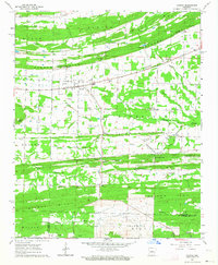 1963 Vilonia1964 Print · USGSFaulkner County in the early sixties reveals a landscape of ridge-top travel and creek-side settlement centered on Vilonia. Genealogists and local historians can trace family locations near landmarks like Cypress Valley Cem, Otto, and Carmichael Gap.3 unique versions available
 - 1964 Map of Russellville
 1964 Russellville1964 Print · USGSMid-century Central Arkansas is defined here by the river-valley towns and the surrounding mountain ranges before the full expansion of the interstate system. Genealogists and historians can trace rail-town development along the Missouri Pacific Railroad and locate landmarks like Arkansas Polytechnic College or Petit Jean State Park.
 - 1977 Map of Russellville
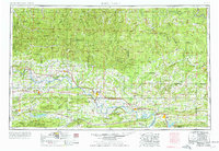 1977 Russellville1977 Print · USGSThe Arkansas River Valley and surrounding Ozark Mountains are documented here during a period of significant postwar growth and infrastructure development. Genealogists and researchers can locate family landmarks such as Mount Carmel Cem, St Josephs Church, and several remote Coal Mine sites along the Missouri Pacific RR line.
 - 1983 Map of Conway, 1984 Print
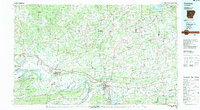 1983 Conway1984 Print · USGSThe Arkansas River valley in the early eighties shows a landscape of river-bend settlements and expanding wildlife areas. Genealogists and historians can trace the Missouri Pacific RR through old river towns like Toad Suck, Morrilton, and Menifee.
 - 1984 Map of Russellville
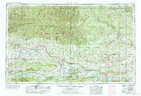 1984 Russellville1984 Print · USGSThe Arkansas River valley was undergoing significant change in the 1950s as transportation and water management reshaped the region from Russellville to Conway. Researchers can trace the era's rail networks like the Missouri Pacific RR and explore landmarks like Magazine Mountain and Petit Jean State Park.
 - 1992 Map of Russellville, 1993 Print
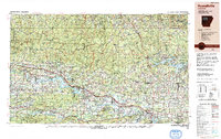 1992 Russellville1993 Print · USGSCentral Arkansas in the early nineties shows a landscape defined by the Arkansas River valley and the surrounding national forests. Trace the development of river towns like Russellville and Dardanelle alongside landmarks such as Lake Dardanelle and Magazine Mtn.
 - 1994 Map of Vilonia
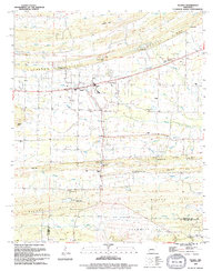 1994 Vilonia1994 Print · USGSThe Vilonia area in the mid-nineties shows a rural Arkansas landscape transitioning between the Faulkner and Pulaski county lines. Trace local family roots and early community centers at Otto Community Ch, Cypress Valley Cem, and the Lester Flatt Memorial Park.
 - 2011 Map of Vilonia, 2011 Print
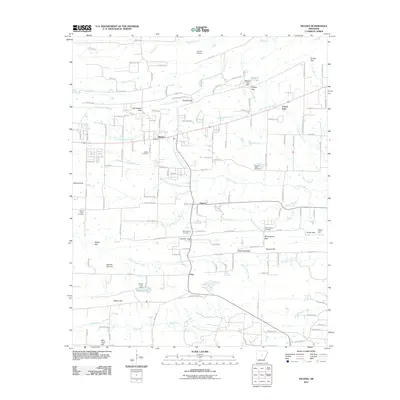 2011 Vilonia2011 Print · USGSVilonia and its surrounding gaps and bayous are documented here in the early twenty-first century, showing the rural character of this Faulkner County landscape. Genealogists can locate several local burial grounds, including Mount Olive Cemetery and Duncan Gap Cemetery, alongside landmarks like Vilonia Airport.
 - 2014 Map of Vilonia, 2014 Print
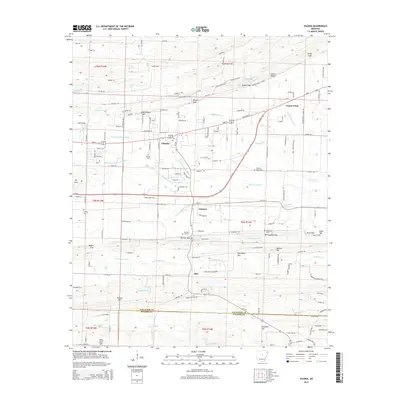 2014 Vilonia2014 Print · USGSVilonia and the surrounding Faulkner County countryside are shown here in the early twenty-first century as the community grew along the Cypress Bayou forks. Researchers can locate several burial sites and rural landmarks, including Birmingham Cem, Mt Olive Cem, and the high ground of Cadron Ridge.
 - 2017 Map of Vilonia, 2017 Print
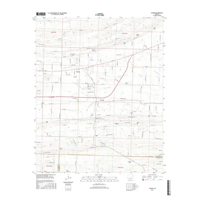 2017 Vilonia2017 Print · USGSFaulkner County in the early twenty-first century reveals a landscape of established rural communities and intricate ridge-top topography. Genealogists and historians can trace family locations near Vilonia Cem, Duncan Gap Cem, or the small settlement of Otto.
 - 2020 Map of Vilonia, 2020 Print
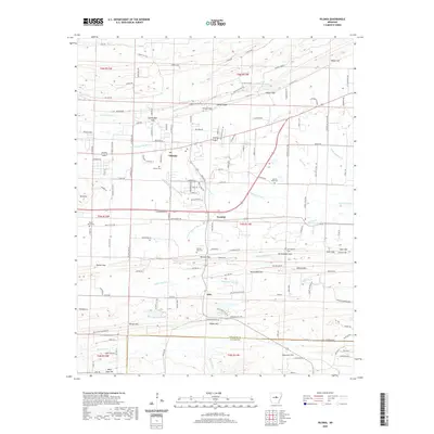 2020 Vilonia2020 Print · USGSVilonia and the rural corridors of Faulkner County are shown here in the early twenty-first century as suburban growth meets traditional farm country. Trace local roots at Vilonia Cem or Mount Olive Cem, and locate family landmarks like Cadron Ridge and Wilson Hill.
 - 2024 Map of Vilonia, 2024 Print
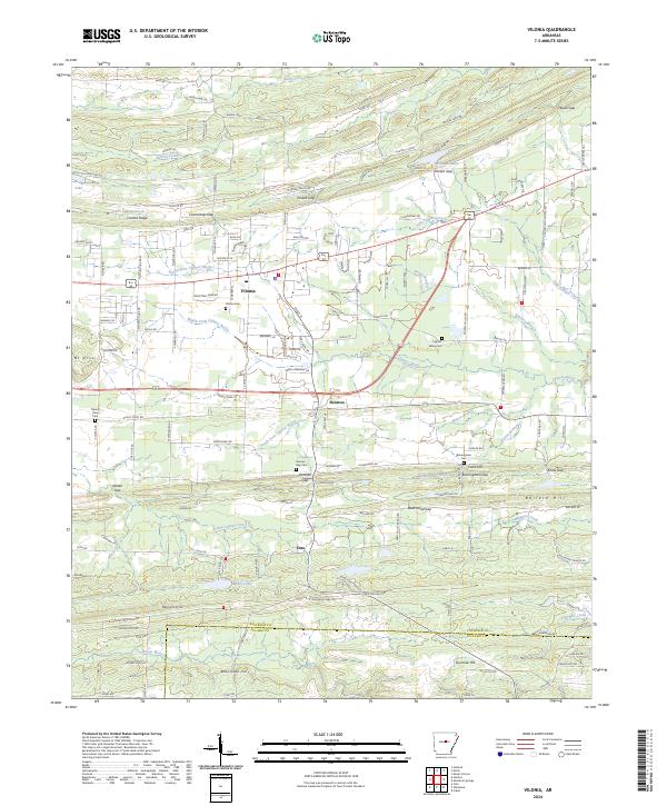 2024 Vilonia2024 Print · USGSVilonia and the surrounding Faulkner County countryside are shown in detail during a period of modern growth and rural preservation. Genealogists and local historians can trace family locations near Mount Olive Cem, Otto, and the many gaps of Cadron Ridge.
End of results
Showing maps 1-13 of 13
Top cities near Center Point
- North Little Rock historical maps
- Jacksonville historical maps
- Cabot historical maps
- Sherwood historical maps
- Maumelle historical maps
- Beebe historical maps
See more
Frequently asked questions
- What are the different types of historical maps available for Center Point?
- What is the oldest map of Center Point?
- Where can I purchase historical maps of Center Point for my home or office?
- Where can I download high-res historical maps of Center Point?
- Are there historical topographic maps available for Center Point?
- Is there historical aerial imagery available for Center Point?
- Where are historical maps of Center Point sourced from?