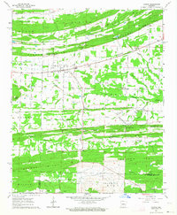
1963 Map of Vilonia
USGS Topo · Published 1964About this map
The community of Vilonia serves as the central hub for this rural Faulkner County landscape in the early 1960s. Settled along the North Fork of Palarm Creek, the area is defined by a series of parallel east-west ridges including Cadron Ridge, Cypress Ridge, and Palarm Ridge. These high points are pierced by numerous named gaps, such as Powell Gap, Carmichael Gap, and Duncan Gap, which historically dictated the flow of local travel and transport.
Find a feature on this map
51 named features on this map. Tap any name to fly to it.
Don’t see what you’re looking for? This feature index may not catch every label — zoom into the map to look around manually.
Map Details
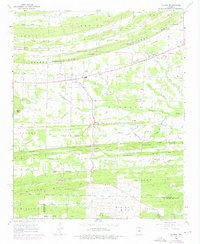
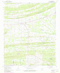
Editions of this 1963 Vilonia Map
3 editions found
Other maps of this area

1891 · Little Rock
USGS Topo · 1:125,000

1893 · Little Rock
USGS Topo · 1:125,000

1941 · Olmstead
USGS Topo · 1:31,680

1941 · Cabot
USGS Topo · 1:31,680

1953 · Cato
USGS Topo · 1:24,000

1954 · Olmstead
USGS Topo · 1:24,000
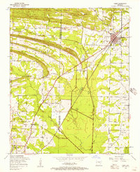
1954 · Cabot
USGS Topo · 1:24,000

1955 · Little Rock
USGS Topo · 1:250,000

1956 · Little Rock
USGS Topo · 1:250,000

1956 · Russellville
USGS Topo · 1:250,000