2000s (21st Century) Maps of Viola, Arkansas
Explore 10 historic maps of Viola from the 2000s (21st Century). These maps offer a rare glimpse into what life looked like during the 2000s — showing old roads, neighborhoods, homes, and landmarks that have changed or disappeared over time.
Whether you're researching your family's past, planning a metal detecting trip, or studying how Viola's landscape evolved across the 2000s, these high-resolution maps are a powerful tool for exploring the history of this region.
- Focus on a specific era: All maps on this page are from the 2000s, giving you a focused view of this time period.
- See what’s changed: Compare century-old streets, trails, and buildings to today's modern landscape using overlays and satellite layers.
- Research with precision: Use these maps for genealogy, historical research, land use analysis, or educational projects.
- View, download, or print: Maps are fully viewable online in high resolution, and can be downloaded or printed for your own records.
Start exploring Viola's history through authentic maps from the 2000s. This is your window into the past.
Viola, AR maps
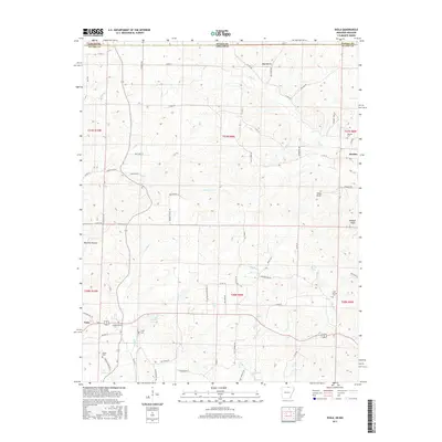
(10)- 2011 Map of Viola, 2011 Print
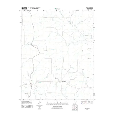 2011 Viola2011 Print · USGSCovers Viola, including Flint Springs, Howell County, and other nearby areas
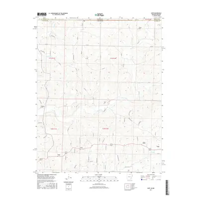
 - 2011 Map of Gepp, 2011 Print
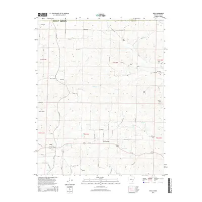
 2011 Gepp2011 Print · USGSCovers Viola, including Ott, Pickren Hall, and other nearby areas
 - 2014 Map of Viola, 2014 Print
 2014 Viola2014 Print · USGSCovers Viola, including Flint Springs, Howell County, and other nearby areas
 - 2014 Map of Gepp, 2014 Print
 2014 Gepp2014 Print · USGSCovers Viola, including Ott, Pickren Hall, and other nearby areas
 - 2017 Map of Viola, 2017 Print
 2017 Viola2017 Print · USGSCovers Viola, including Flint Springs, Howell County, and other nearby areas
 - 2017 Map of Gepp, 2017 Print
 2017 Gepp2017 Print · USGSCovers Viola, including Ott, Pickren Hall, and other nearby areas
 - 2020 Map of Viola, 2020 Print
 2020 Viola2020 Print · USGSCovers Viola, including Flint Springs, Howell County, and other nearby areas
 - 2020 Map of Gepp, 2020 Print
 2020 Gepp2020 Print · USGSCovers Viola, including Ott, Pickren Hall, and other nearby areas
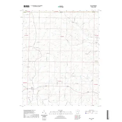
 - 2024 Map of Gepp, 2024 Print
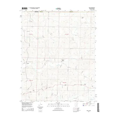
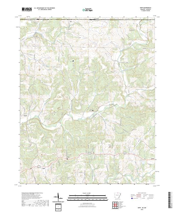 2024 Gepp2024 Print · USGSThe Missouri-Arkansas border region in the early twenty-first century is defined by its winding waterways and scattered hill communities. Researchers can trace local heritage through landmarks like Gobbler Trot Cem, the settlement at Gepp, and the course of Bennetts River.
 - 2024 Map of Viola, 2024 Print
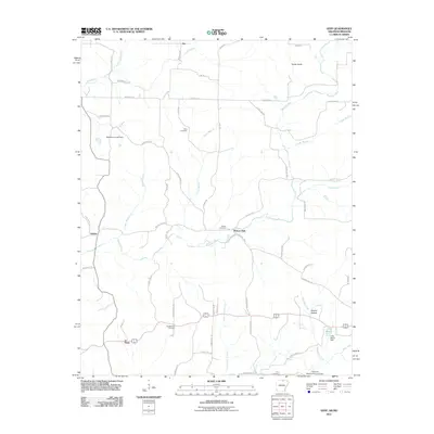
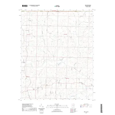
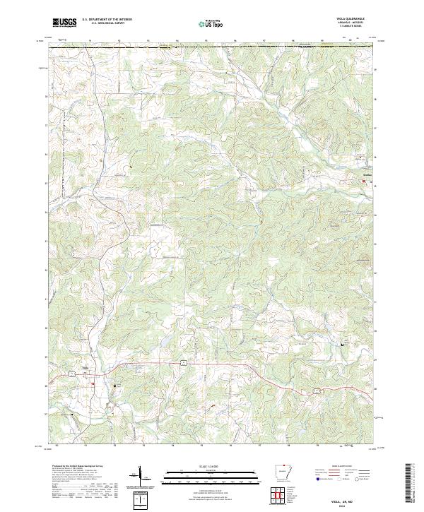 2024 Viola2024 Print · USGSUpper Fulton County at the Missouri border comes into focus in this recent survey of Viola and Sturkie. Genealogists can locate family-named sites like Barker Cem and Watkins Cem or trace the winding course of Bay Creek and Trace Creek.
End of results
Showing maps 1-10 of 10
Top cities near Viola
- Horseshoe Bend historical maps
- Salem historical maps
- Calico Rock historical maps
- Oxford historical maps
- Bakersfield historical maps
- Pineville historical maps
See more
Frequently asked questions
- What are the different types of historical maps available for Viola?
- What is the oldest map of Viola?
- Where can I purchase historical maps of Viola for my home or office?
- Where can I download high-res historical maps of Viola?
- Are there historical topographic maps available for Viola?
- Is there historical aerial imagery available for Viola?
- Where are historical maps of Viola sourced from?