2020s Maps of Hempstead County, Arkansas
Explore 48 historic maps of Hempstead County from the 2020s. These maps offer a rare glimpse into what life looked like during the 2020s — showing old roads, neighborhoods, homes, and landmarks that have changed or disappeared over time.
Whether you're researching your family's past, planning a metal detecting trip, or studying how Hempstead County's landscape evolved across the 2020s, these high-resolution maps are a powerful tool for exploring the history of this region.
- Focus on a specific era: All maps on this page are from the 2020s, giving you a focused view of this time period.
- See what’s changed: Compare century-old streets, trails, and buildings to today's modern landscape using overlays and satellite layers.
- Research with precision: Use these maps for genealogy, historical research, land use analysis, or educational projects.
- View, download, or print: Maps are fully viewable online in high resolution, and can be downloaded or printed for your own records.
Start exploring Hempstead County's history through authentic maps from the 2020s. This is your window into the past.
Hempstead County, AR maps
(48)- 2020 Map of Spring Hill, 2020 Print
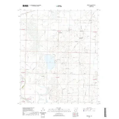 2020 Spring Hill2020 Print · USGSCovers Hempstead County, including Battlefield, Spring Hill, and other nearby areas
 - 2020 Map of Columbus, 2020 Print
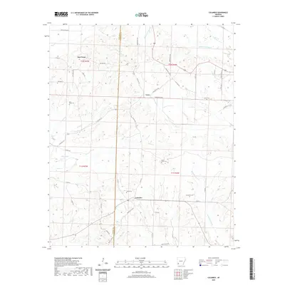 2020 Columbus2020 Print · USGSCovers Hempstead County, including Columbus, Schooley, and other nearby areas
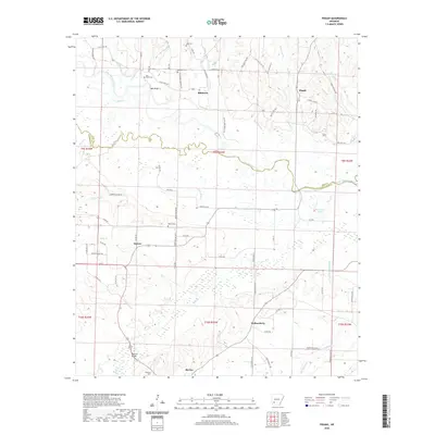
 - 2020 Map of Prescott West, 2020 Print
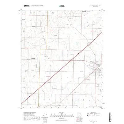 2020 Prescott West2020 Print · USGSCovers Hempstead County, including Prescott, Pleasant Hill, and other nearby areas
 - 2020 Map of Boyd Hill, 2020 Print
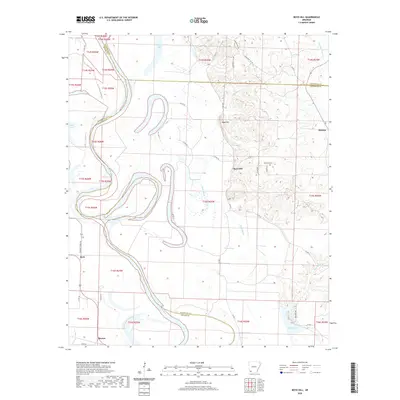 2020 Boyd Hill2020 Print · USGSCovers Hempstead County, including Beck, Boyd Hill, and other nearby areas
 - 2020 Map of Falcon, 2020 Print
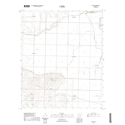
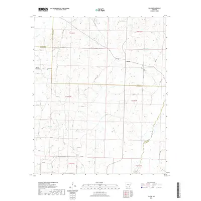 2020 Falcon2020 Print · USGSCovers Hempstead County, including Shiloh, Mount Pleasant, and other nearby areas
 - 2020 Map of Piney Grove, 2020 Print
 2020 Piney Grove2020 Print · USGSCovers Hempstead County, including Piney Grove, Bowen, and other nearby areas
 - 2020 Map of Blevins, 2020 Print
 2020 Blevins2020 Print · USGSCovers Hempstead County, including Blevins, De Ann, and other nearby areas
 - 2020 Map of Nashville, 2020 Print
 2020 Nashville2020 Print · USGSCovers Hempstead County, including Nashville, Unity, and other nearby areas
 - 2020 Map of Old Town, 2020 Print
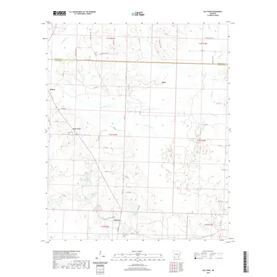 2020 Old Town2020 Print · USGSCovers Hempstead County, including Lewisville, Midway, and other nearby areas
 - 2020 Map of Fouke NE, 2020 Print
 2020 Fouke NE2020 Print · USGSCovers Hempstead County, including Dooley, Artex, and other nearby areas
 - 2020 Map of Mineral Springs South, 2020 Print
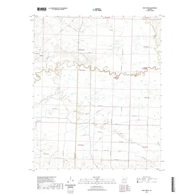
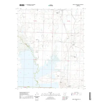 2020 Mineral Springs South2020 Print · USGSCovers Hempstead County, including Mineral Springs, Tollette, and other nearby areas
 - 2020 Map of Pisgah, 2020 Print
 2020 Pisgah2020 Print · USGSCovers Hempstead County, including Blevins, Dotson, and other nearby areas
 - 2020 Map of McNab, 2020 Print
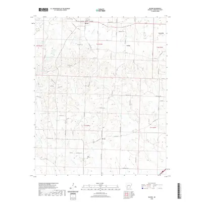
 2020 McNab2020 Print · USGSCovers Hempstead County, including McNab, Howard County, and other nearby areas
 - 2020 Map of Washington, 2020 Print
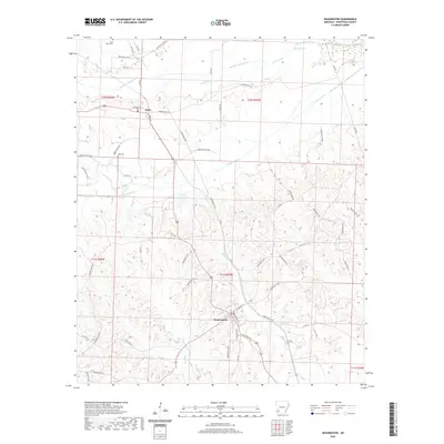 2020 Washington2020 Print · USGSCovers Hempstead County, including Washington, Ozan, and other nearby areas
 - 2020 Map of Sheppard, 2020 Print
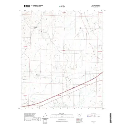 2020 Sheppard2020 Print · USGSCovers Hempstead County, including Hope, Powers, and other nearby areas
 - 2020 Map of Emmet, 2020 Print
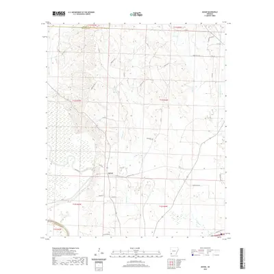
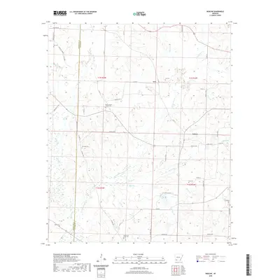
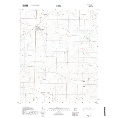 2020 Emmet2020 Print · USGSCovers Hempstead County, including Emmet, Sutton, and other nearby areas
 - 2020 Map of McCaskill, 2020 Print
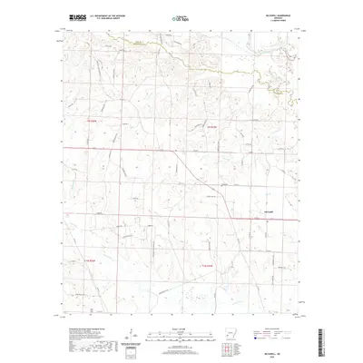 2020 McCaskill2020 Print · USGSCovers Hempstead County, including McCaskill, Pike County, and other nearby areas
 - 2020 Map of Patmos, 2020 Print
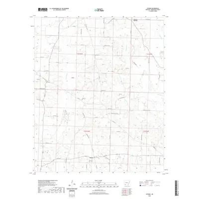 2020 Patmos2020 Print · USGSCovers Hempstead County, including Patmos, Shover Springs, and other nearby areas
 - 2020 Map of Bodcaw, 2020 Print
 2020 Bodcaw2020 Print · USGSCovers Hempstead County, including Bodcaw, Azor, and other nearby areas
 - 2020 Map of Red Bluff, 2020 Print
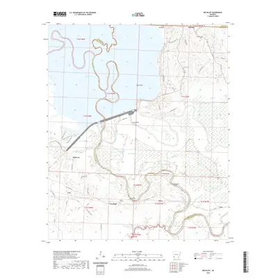 2020 Red Bluff2020 Print · USGSCovers Hempstead County, including Orton, Millwood, and other nearby areas
 - 2020 Map of Hope, 2020 Print
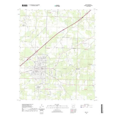 2020 Hope2020 Print · USGSCovers Hempstead County, including Hope, Perrytown, and other nearby areas
 - 2020 Map of Fulton, 2020 Print
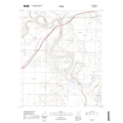 2020 Fulton2020 Print · USGSCovers Hempstead County, including Fulton, Sprudel, and other nearby areas
 - 2020 Map of Nathan, 2020 Print
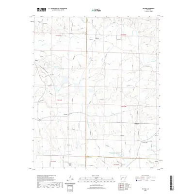 2020 Nathan2020 Print · USGSCovers Hempstead County, including Highland, Reed, and other nearby areas
 - 2020 Map of Murfreesboro, 2020 Print
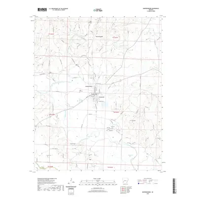 2020 Murfreesboro2020 Print · USGSCovers Hempstead County, including Murfreesboro, Mount Moriah, and other nearby areas
 - 2024 Map of Washington, 2024 Print
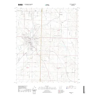
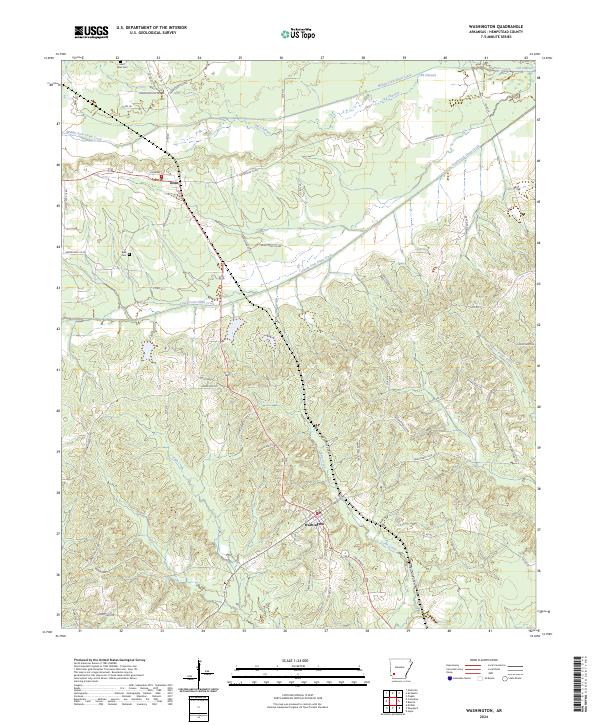 2024 Washington2024 Print · USGSHempstead County at the present day retains its historic rural character through its small settlements and creek-side cemeteries. Researchers can trace family roots and land patterns near Washington and Ozan, or locate burial sites like Saint Peter Cem and Belk Cem.
Showing maps 1-25 of 48
Top cities of Hempstead County
- Hope historical maps
- Blevins historical maps
- Perrytown historical maps
- Washington historical maps
- Fulton historical maps
- Ozan historical maps
See more
Frequently asked questions
- What are the different types of historical maps available for Hempstead County?
- What is the oldest map of Hempstead County?
- Where can I purchase historical maps of Hempstead County for my home or office?
- Where can I download high-res historical maps of Hempstead County?
- Are there historical topographic maps available for Hempstead County?
- Is there historical aerial imagery available for Hempstead County?
- Where are historical maps of Hempstead County sourced from?