2020s Maps of Dierks, Arkansas
Explore 6 historic maps of Dierks from the 2020s. These maps offer a rare glimpse into what life looked like during the 2020s — showing old roads, neighborhoods, homes, and landmarks that have changed or disappeared over time.
Whether you're researching your family's past, planning a metal detecting trip, or studying how Dierks's landscape evolved across the 2020s, these high-resolution maps are a powerful tool for exploring the history of this region.
- Focus on a specific era: All maps on this page are from the 2020s, giving you a focused view of this time period.
- See what’s changed: Compare century-old streets, trails, and buildings to today's modern landscape using overlays and satellite layers.
- Research with precision: Use these maps for genealogy, historical research, land use analysis, or educational projects.
- View, download, or print: Maps are fully viewable online in high resolution, and can be downloaded or printed for your own records.
Start exploring Dierks's history through authentic maps from the 2020s. This is your window into the past.
Dierks, AR maps
(6)- 2020 Map of Center Point, 2020 Print
 2020 Center Point2020 Print · USGSCovers Dierks, including Center Point, Howard County, and other nearby areas
 - 2020 Map of Dierks, 2020 Print
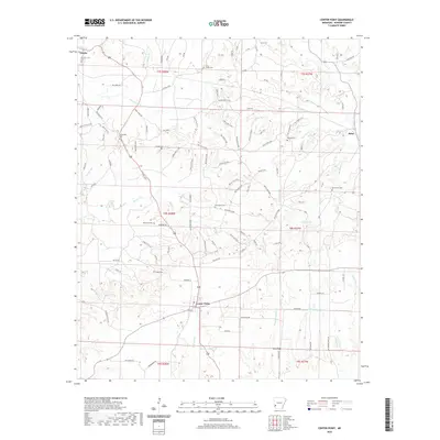
 2020 Dierks2020 Print · USGSCovers Dierks, including Mount Carmel, Lebanon, and other nearby areas
 - 2020 Map of Dierks Dam, 2020 Print
 2020 Dierks Dam2020 Print · USGSCovers Dierks, including Davis Ford, Euclid, and other nearby areas
 - 2024 Map of Center Point, 2024 Print
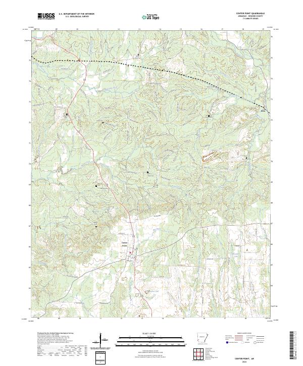 2024 Center Point2024 Print · USGSHoward County's timberlands and rural communities are documented here in the early twenty-first century. Genealogists and historians can trace numerous family burial sites like Old Salem Cem and Hester Cem alongside the historic Old Tram Rd.
 - 2024 Map of Dierks Dam, 2024 Print
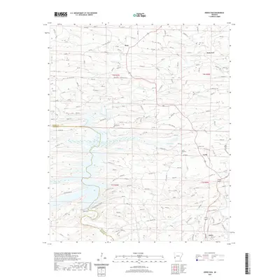
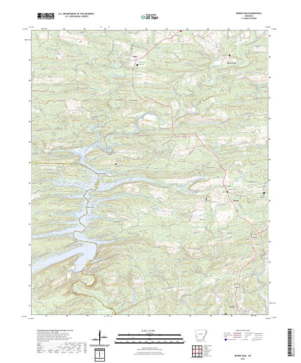 2024 Dierks Dam2024 Print · USGSThe Saline River valley in Howard County is captured here in recent years, showing a landscape defined by water and woods. Genealogists can locate family landmarks like Burg Cem, Huffman Cem, and historical river crossings at Thompson Ford.
 - 2024 Map of Dierks, 2024 Print
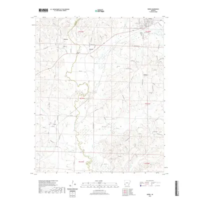
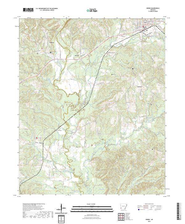 2024 Dierks2024 Print · USGSThe Howard and Sevier County line comes alive in this study of the Saline River corridor and the timberlands surrounding Dierks. Researchers can trace old family roots through numerous local sites like Greens Chapel Cem, Bethany, and the community of Provo.
End of results
Showing maps 1-6 of 6
Top cities near Dierks
Frequently asked questions
- What are the different types of historical maps available for Dierks?
- What is the oldest map of Dierks?
- Where can I purchase historical maps of Dierks for my home or office?
- Where can I download high-res historical maps of Dierks?
- Are there historical topographic maps available for Dierks?
- Is there historical aerial imagery available for Dierks?
- Where are historical maps of Dierks sourced from?