Old Maps of Galena, Arkansas for Genealogy
Trace your family roots with 12 historic maps of Galena. These high-res maps reveal old neighborhoods, homesites, landmarks, and streets — helping you uncover where your ancestors lived and how the area evolved over time.
- Explore historic neighborhoods: Identify where your relatives may have lived in the 1800s or 1900s.
- Compare maps over time: Trace the changes in streets, buildings, and landmarks for multi-generational research.
- Perfect for genealogy & ancestry research: Used by family historians and researchers to map out lineage and migration.
These maps are an incredible resource for exploring your personal connection to Galena's past.
Galena, AR maps
(12)- 1913 Map of De Queen
 1913 De Queen1913 Print · USGSThe southern Ouachita Mountains and the Arkansas-Oklahoma borderlands appear here in the early twentieth century as the railroad transformed the timber and mining industries. Researchers can trace historic sites like the Welcome Home School, the Kansas City Southern RR corridor, and the early streets of De Queen.4 unique versions available
 - 1950 Map of Mcalester
 1950 Mcalester1950 Print · USGSThe Ouachita Mountains and the coal country of Southeast Oklahoma are shown here in the late 1940s. Genealogists and historians can trace the rail-driven growth of McAlester, Wilburton, and Antlers alongside the rugged terrain of Kiamichi Mountain.2 unique versions available
 - 1959 Map of Umpire, 1960 Print
 1959 Umpire1960 Print · USGSThe rural borderlands of Polk and Howard counties come into focus in the late fifties, showing the isolated homesteads and forest clearings of the Ouachita foothills. Genealogists can trace family footprints through sites like Umpire, Mineola, and the Cedar Hill Cem.3 unique versions available
 - 1962 Map of McAlester
 1962 McAlester1962 Print · USGSSoutheastern Oklahoma and western Arkansas are shown here during the early sixties, a time of transition for the region's mountain communities and timberlands. Researchers can trace the paths of the Kansas City Southern RR through Heavener or locate settlements like Talihina and Broken Bow near the Kiamichi Mountains.2 unique versions available
 - 1965 Map of McAlester
 1965 McAlester1965 Print · USGSSoutheastern Oklahoma and western Arkansas appear here in the mid-1960s, showing the intersection of the timber industry and the growing reservoir system. Genealogists can trace family roots through settlements like Antlers, Idabel, and Kiowa or follow the historic routes of the Kansas City Southern Ry.3 unique versions available
 - 1986 Map of Umpire
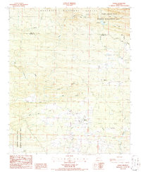 1986 Umpire1986 Print · USGSHoward County and the southern fringes of the national forest are captured here in the mid-eighties, showing a landscape of timber management and rural crossroads. Researchers can trace family sites around Umpire and Mineola or locate landmarks like the Shady Lake Recreation Area and Galena.2 unique versions available
 - 1986 Map of De Queen
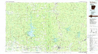 1986 De Queen1986 Print · USGSThe Arkansas-Oklahoma borderlands are shown here in the mid-1980s, highlighting the complex water systems and mountain ridges of the Ouachita region. Genealogists and historians can trace rail routes like the Kansas City Southern and find old community sites such as Ultima Thule or Oak Grove Ch.2 unique versions available
 - 2011 Map of Umpire, 2011 Print
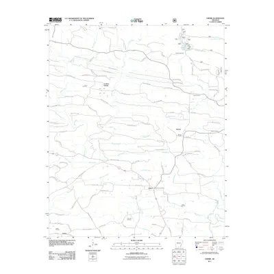 2011 Umpire2011 Print · USGSUmpire and the surrounding Saline River valley are shown here in the early twenty-first century, revealing a rural landscape of timber roads and scattered settlements. Genealogists can trace family footprints across numerous sites including Cedar Hill Cemetery, Mineola, and the Umpire Post Office.
 - 2014 Map of Umpire, 2014 Print
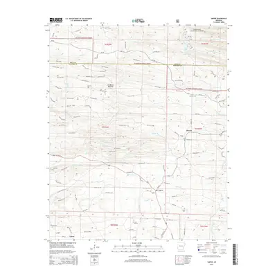 2014 Umpire2014 Print · USGSUmpire and the southern fringes of the Ouachita National Forest are captured here in the early twenty-first century. Genealogists can trace local family footprints through sites like Mineola Cem, Union Cem, and the community of Faulkner Springs.
 - 2017 Map of Umpire, 2017 Print
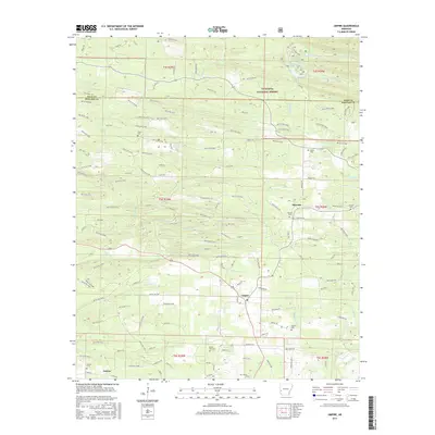 2017 Umpire2017 Print · USGSThe timberlands of Howard County are captured here in the early twenty-first century. Genealogists can trace family footprints at Mineola Cem, Bethel Cem, and Saline Cem while exploring the crossroads of Umpire and Galena.
 - 2020 Map of Umpire, 2020 Print
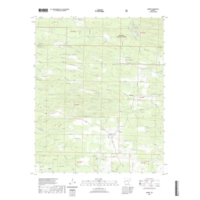 2020 Umpire2020 Print · USGSThe northern edge of Howard County was a landscape of timber roads and quiet settlements during this 2020 survey. Genealogists and historians can trace family locations near Umpire, Mineola, and several rural burial grounds like Union Cem and Saline Cem.
 - 2024 Map of Umpire, 2024 Print
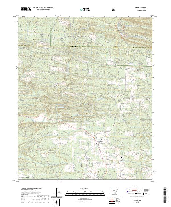 2024 Umpire2024 Print · USGSHoward County's timberlands and river valleys are captured here in the early twenty-first century, showing the rural communities of southwest Arkansas. Genealogists can locate numerous local burial sites like Union Cem and Saline Cem near the banks of the Saline River.
End of results
Showing maps 1-12 of 12
Top cities near Galena
- De Queen historical maps
- Dierks historical maps
- Wickes historical maps
- Grannis historical maps
- Gillham historical maps
Frequently asked questions
- What are the different types of historical maps available for Galena?
- What is the oldest map of Galena?
- Where can I purchase historical maps of Galena for my home or office?
- Where can I download high-res historical maps of Galena?
- Are there historical topographic maps available for Galena?
- Is there historical aerial imagery available for Galena?
- Where are historical maps of Galena sourced from?