Old Maps of Mineral Springs, Arkansas for Metal Detecting
Plan your next treasure hunt with 18 historic maps of Mineral Springs. Find old homesites, ghost towns, trails, and gathering spots that may be lost to time — perfect for identifying promising metal detecting locations.
- Locate forgotten sites: Uncover places like long-lost settlements, abandoned rail lines, or gathering spots.
- Plan better hunts: Use map overlays combined with LiDAR or satellite views to narrow in on historically rich areas.
- Made for detectorists: Thousands of hobbyists use these maps to discover relics, coins, and hidden history.
Use these historic maps to boost your research and find new opportunities beneath the surface of Mineral Springs.
Mineral Springs, AR maps
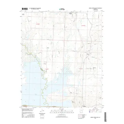
(18)- 1951 Map of Mineral Springs South, 1952 Print
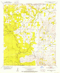 1951 Mineral Springs South1952 Print · USGSHoward County's agricultural and industrial landscape is captured here in the early 1950s. Genealogists and historians can trace community roots through landmarks like the County Training Sch in Tollette and the riverfront at Saline Landing.4 unique versions available
 - 1951 Map of Mineral Springs North, 1952 Print
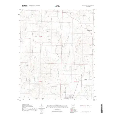
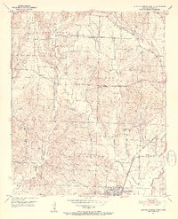 1951 Mineral Springs North1952 Print · USGSHoward County's rural landscape is captured here in the early fifties, showing the transition from isolated homesteads to rail-connected communities. Genealogists can trace family footprints at York Chapel, Temperanceville, and the well-marked Graves Cem.3 unique versions available
 - 1953 Map of El Dorado, 1967 Print
 1953 El Dorado1967 Print · USGSSouth Arkansas in the mid-1960s was a landscape of industrial growth and river-fed commerce. Researchers can trace the extensive Oil and Gas Fields around Magnolia, the expansive U S Naval Ammunition Depot, and the busy rail lines of the Missouri Pacific.3 unique versions available
 - 1957 Map of El Dorado
 1957 El Dorado1957 Print · USGSSouth Arkansas in the mid-1950s was a critical hub of military logistics and rail-river commerce. Genealogists and historians can trace family land across the Arkansas Louisiana border and locate sites like the U.S. Naval Ammunition Depot or the rail junctions at Magnolia and Camden.
 - 1958 Map of El Dorado
 1958 El Dorado1958 Print · USGSSouthern Arkansas and the Louisiana borderlands are shown during a period of heavy rail traffic and defense industry activity. Researchers can trace the legacy of the U. S. Naval Ammunition Depot or locate family roots in Smackover, Huttig, and Nashville.3 unique versions available
 - 1960 Map of El Dorado
 1960 El Dorado1960 Print · USGSSouth Central Arkansas in the late fifties was a hub of energy production and defense industry. Researchers can trace the extensive Oil and Gas Fields around El Dorado or locate family landmarks like Old Park Cem and New Hope Church.
 - 1986 Map of Hope
 1986 Hope1986 Print · USGSSouthwest Arkansas in the mid-eighties was a landscape of rail-connected towns and timbered ridges. Researchers can trace the Missouri Pacific Railroad corridor through Hope or locate local landmarks like De Ann Cem and Poison Springs State Forest.2 unique versions available
 - 1989 Map of El Dorado, 1990 Print
 1989 El Dorado1990 Print · USGSThe Arkansas-Louisiana borderlands in the late eighties show a landscape of heavy industry and wildlife conservation centered on the Ouachita River. Researchers can trace the legacy of timber and transport via the Missouri Pacific RR, Poison Springs State Forest, and the vast Felsenthal Pool.
 - 2011 Map of Mineral Springs North, 2011 Print
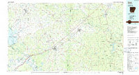
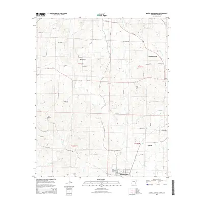
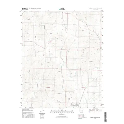
 2011 Mineral Springs North2011 Print · USGSCovers Mineral Springs, including Nashville, Temperanceville, and other nearby areas
 - 2011 Map of Mineral Springs South, 2011 Print
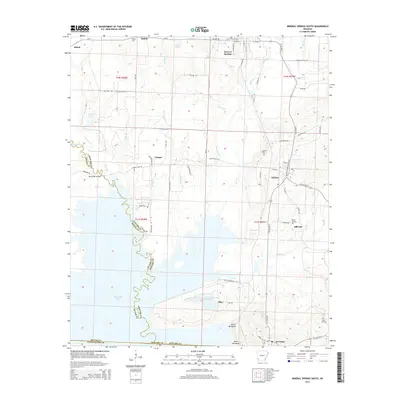
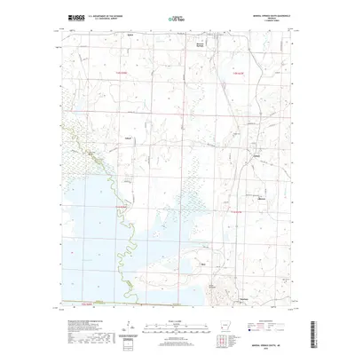
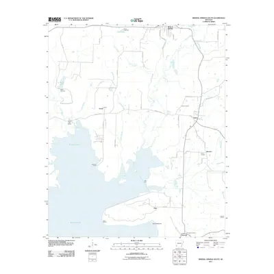 2011 Mineral Springs South2011 Print · USGSCovers Mineral Springs, including Tollette, Schaal, and other nearby areas
 - 2014 Map of Mineral Springs North, 2014 Print
 2014 Mineral Springs North2014 Print · USGSCovers Mineral Springs, including Nashville, Temperanceville, and other nearby areas
 - 2014 Map of Mineral Springs South, 2014 Print
 2014 Mineral Springs South2014 Print · USGSCovers Mineral Springs, including Tollette, Schaal, and other nearby areas
 - 2017 Map of Mineral Springs North, 2017 Print
 2017 Mineral Springs North2017 Print · USGSCovers Mineral Springs, including Nashville, Temperanceville, and other nearby areas
 - 2017 Map of Mineral Springs South, 2017 Print
 2017 Mineral Springs South2017 Print · USGSCovers Mineral Springs, including Tollette, Schaal, and other nearby areas
 - 2020 Map of Mineral Springs South, 2020 Print
 2020 Mineral Springs South2020 Print · USGSCovers Mineral Springs, including Tollette, Schaal, and other nearby areas
 - 2020 Map of Mineral Springs North, 2020 Print
 2020 Mineral Springs North2020 Print · USGSCovers Mineral Springs, including Nashville, Temperanceville, and other nearby areas
 - 2024 Map of Mineral Springs South, 2024 Print
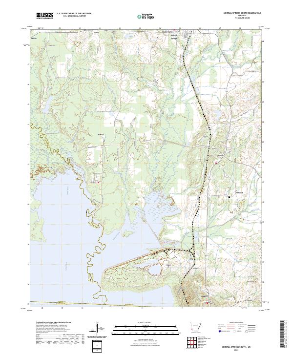 2024 Mineral Springs South2024 Print · USGSHoward County's riverfront and rural settlements are captured here in the contemporary era. Researchers can locate family landmarks like Shirley Cem, trace the course of the Saline River, and explore the layout of Tollette and Saratoga.
 - 2024 Map of Mineral Springs North, 2024 Print
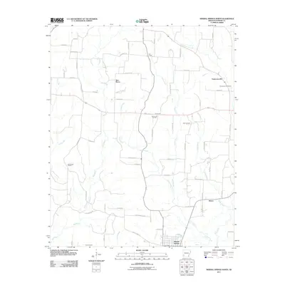
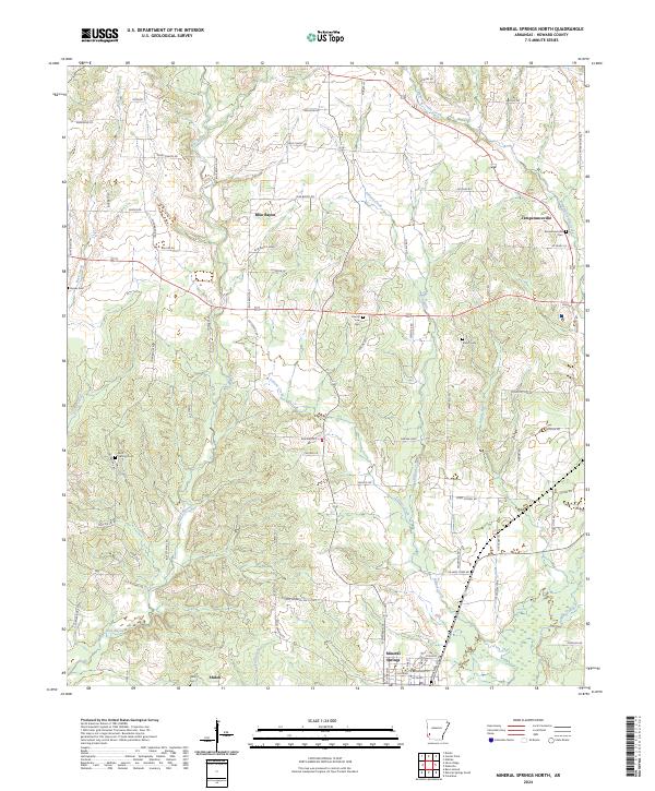 2024 Mineral Springs North2024 Print · USGSHoward County's rural creek valleys and family homesteads are preserved here as they appear in the early twenty-first century. Researchers can trace local lineage through numerous family-named roads and rural burial sites like Temperanceville Cem and Shiloh Cem.
End of results
Showing maps 1-18 of 18
Top cities near Mineral Springs
- Nashville historical maps
- Ashdown historical maps
- Murfreesboro historical maps
- Dierks historical maps
- Wilton historical maps
- Tollette historical maps
See more
Frequently asked questions
- What are the different types of historical maps available for Mineral Springs?
- What is the oldest map of Mineral Springs?
- Where can I purchase historical maps of Mineral Springs for my home or office?
- Where can I download high-res historical maps of Mineral Springs?
- Are there historical topographic maps available for Mineral Springs?
- Is there historical aerial imagery available for Mineral Springs?
- Where are historical maps of Mineral Springs sourced from?