
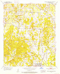
1951 Map of Mineral Springs North
USGS Topo · Published 1952About this map
Mineral Springs anchors the southern edge of this Arkansas-Howard County survey, serving as a hub for the surrounding rural townships. The landscape is defined by the winding course of Blue Bayou and the drainage of Dillard Creek, where small-scale agriculture and early industry met. The Graysonia Nashville and Ashdown railroad cuts through the terrain, connecting isolated settlements like Temperanceville and Midway to broader regional markets. Local life in the mid-century was centered around a dense network of country churches, including York Chapel, Trinity Ch, and Wakefield Ch. The map also documents the industrial presence of several Gravel Pits, providing a clear look at the resource extraction that complemented the area's farming economy.
Find a feature on this map
34 named features on this map. Tap any name to fly to it.
Don’t see what you’re looking for? This feature index may not catch every label — zoom into the map to look around manually.
Map Details
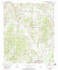
Editions of this 1951 Mineral Springs North Map
3 editions found
Other maps of this area

1906 · Caddo Gap
USGS Topo · 1:125,000

1913 · De Queen
USGS Topo · 1:125,000

1950 · Mcalester
USGS Topo · 1:250,000

1950 · Ben Lomond
USGS Topo · 1:24,000

1951 · Ben Lomond
USGS Topo · 1:24,000

1951 · Mineral Springs South
USGS Topo · 1:24,000

1951 · Columbus
USGS Topo · 1:24,000

1951 · Nashville
USGS Topo · 1:24,000

1951 · Silver Ridge
USGS Topo · 1:24,000

1953 · Texarkana
USGS Topo · 1:250,000