Old Maps of Pleasant Hill, Arkansas for Academic Research
Study the evolution of Pleasant Hill with 12 high-resolution historic maps. Whether you're teaching, researching, or modeling changes in land use, these maps provide essential visual documentation of urban, environmental, and geographic change.
- Analyze long-term change: Track patterns in development, transportation, and natural features.
- Ideal for environmental or urban studies: Support academic projects with primary historical map data.
- Use in the classroom or lab: Educators and researchers rely on these maps to bring historical context to life.
These maps are a powerful tool for teaching, research, and visualizing how Pleasant Hill has changed over the decades.
Pleasant Hill, AR maps
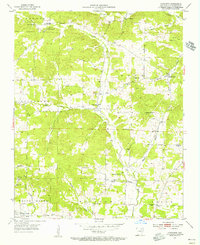
(12)- 1932 Map of Strawberry
 1932 Strawberry1932 Print · USGSThe river bottoms of Northeast Arkansas are captured in the early 1930s, showing the intersection of the Strawberry River and Black River. Researchers can locate historic landmarks like the Pruitts Mill Site, Buck Cem, and local schools including Cord Sch.
 - 1935 Map of Strawberry, 1936 Print
 1935 Strawberry1936 Print · USGSNortheast Arkansas in the mid-1930s shows a landscape of upland ridges and river bottomlands at the junction of four counties. Researchers can trace rural family life through many churchyards and schools, from Sulphur Rock up to the Pruitte Mill Site and Saffell.
 - 1941 Map of Strawberry, 1946 Print
 1941 Strawberry1946 Print · USGSThe rural river valleys of northeast Arkansas are shown here during the early 1940s, highlighting a landscape of small schools and post offices. Genealogists can trace family roots through landmarks like Saffell Post Office, Buck Cem, and Harmony Sch.
 - 1953 Map of Memphis, 1966 Print
 1953 Memphis1966 Print · USGSEastern Arkansas and the Memphis riverfront are shown here during the mid-century period of regional growth and river management. Local historians can trace the paths of the Chicago Rock Island & Pacific RR through Forrest City or locate river landmarks like President's Island.3 unique versions available
 - 1954 Map of Charlotte, 1955 Print
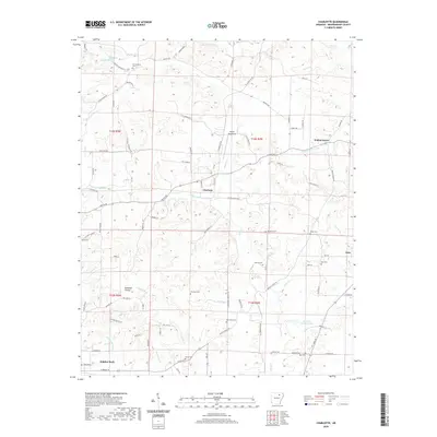
 1954 Charlotte1955 Print · USGSMid-century Independence County comes alive in this 1950s survey of the river valleys and upland farms. Genealogists and local historians can locate numerous rural landmarks such as Antioch Ch, Convenience Cem, and the settlement of Charlotte.2 unique versions available
 - 1956 Map of Memphis
 1956 Memphis1956 Print · USGSThe Mississippi Delta and the bluffs of West Tennessee meet in the mid-fifties, showing a landscape defined by massive river systems and rail hubs. Researchers can trace the path of Crowleys Ridge or locate vanished river landings near Centennial Island and Island No 35.
 - 1986 Map of Batesville
 1986 Batesville1986 Print · USGSNorth-central Arkansas in the mid-eighties shows a landscape of river-bend towns and Ozark foothills during a period of steady growth. You can trace family roots through numerous upland sites like Hickory Valley School, Sandtown Hill Cem, and the riverfront at Oil Trough.2 unique versions available
 - 2011 Map of Charlotte, 2011 Print
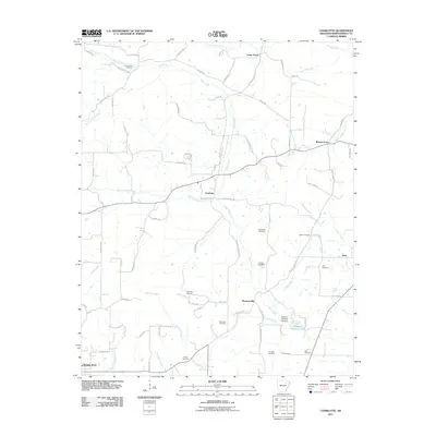 2011 Charlotte2011 Print · USGSCovers Pleasant Hill, including Sulphur Rock, Charlotte, and other nearby areas
 - 2014 Map of Charlotte, 2014 Print
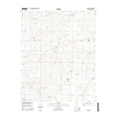 2014 Charlotte2014 Print · USGSCovers Pleasant Hill, including Sulphur Rock, Charlotte, and other nearby areas
 - 2017 Map of Charlotte, 2017 Print
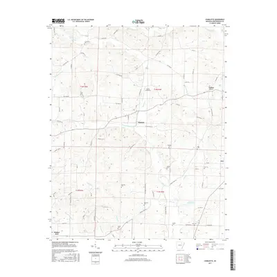 2017 Charlotte2017 Print · USGSCovers Pleasant Hill, including Sulphur Rock, Charlotte, and other nearby areas
 - 2020 Map of Charlotte, 2020 Print
 2020 Charlotte2020 Print · USGSCovers Pleasant Hill, including Sulphur Rock, Charlotte, and other nearby areas
 - 2024 Map of Charlotte, 2024 Print
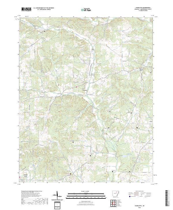 2024 Charlotte2024 Print · USGSIndependence County is documented here in the early 2020s, showcasing the persistent rural character and small-town networks of this Arkansas region. Researchers can locate family landmarks like Convenience Cem and Rawlings Cem or trace the winding path of Dota Creek.
End of results
Showing maps 1-12 of 12
Top cities near Pleasant Hill
- Batesville historical maps
- Newport historical maps
- Southside historical maps
- Cave City historical maps
- Tuckerman historical maps
- Diaz historical maps
See more
Frequently asked questions
- What are the different types of historical maps available for Pleasant Hill?
- What is the oldest map of Pleasant Hill?
- Where can I purchase historical maps of Pleasant Hill for my home or office?
- Where can I download high-res historical maps of Pleasant Hill?
- Are there historical topographic maps available for Pleasant Hill?
- Is there historical aerial imagery available for Pleasant Hill?
- Where are historical maps of Pleasant Hill sourced from?