2020s Maps of Calico Rock, Arkansas
Explore 8 historic maps of Calico Rock from the 2020s. These maps offer a rare glimpse into what life looked like during the 2020s — showing old roads, neighborhoods, homes, and landmarks that have changed or disappeared over time.
Whether you're researching your family's past, planning a metal detecting trip, or studying how Calico Rock's landscape evolved across the 2020s, these high-resolution maps are a powerful tool for exploring the history of this region.
- Focus on a specific era: All maps on this page are from the 2020s, giving you a focused view of this time period.
- See what’s changed: Compare century-old streets, trails, and buildings to today's modern landscape using overlays and satellite layers.
- Research with precision: Use these maps for genealogy, historical research, land use analysis, or educational projects.
- View, download, or print: Maps are fully viewable online in high resolution, and can be downloaded or printed for your own records.
Start exploring Calico Rock's history through authentic maps from the 2020s. This is your window into the past.
Calico Rock, AR maps
(8)- 2020 Map of Calico Rock, 2020 Print
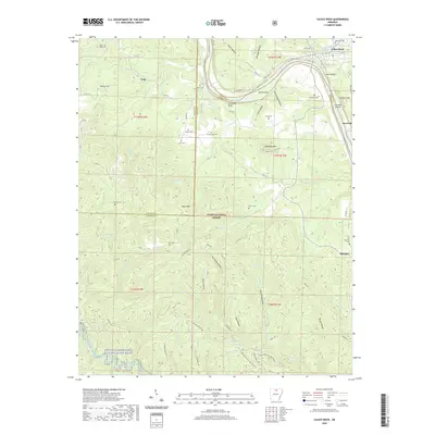 2020 Calico Rock2020 Print · USGSCovers Calico Rock, including Optimus, Culp, and other nearby areas
 - 2020 Map of Norfork Dam South, 2020 Print
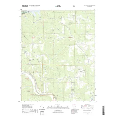 2020 Norfork Dam South2020 Print · USGSCovers Calico Rock, including Norfork, Salesville, and other nearby areas
 - 2020 Map of Pineville, 2020 Print
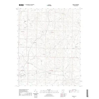 2020 Pineville2020 Print · USGSCovers Calico Rock, including Pineville, Dolph, and other nearby areas
 - 2020 Map of Boswell, 2020 Print
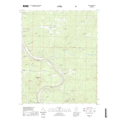 2020 Boswell2020 Print · USGSCovers Calico Rock, including Boswell, Mount Olive, and other nearby areas
 - 2024 Map of Pineville, 2024 Print
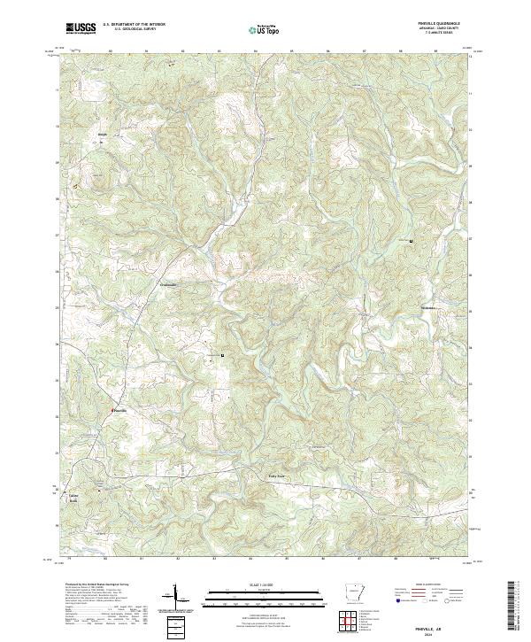 2024 Pineville2024 Print · USGSIzard County's upland landscape is documented in this recent survey of the area surrounding Pineville and Calico Rock. Genealogists and local historians can pinpoint the locations of Potts Cem and Cresswell Cem or trace the rural routes connecting Dolph, Wideman, and Forty Four.
 - 2024 Map of Norfork Dam South, 2024 Print
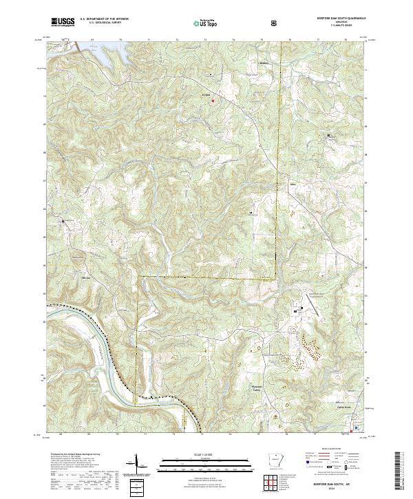 2024 Norfork Dam South2024 Print · USGSThe Ozark plateau meets the winding White River in the 2020s, revealing a landscape of deep hollows and high ridges. Researchers can locate family landmarks like Galatia Cem and Hand Cem or trace the early settlement boundaries of Iuka and Old Joe.
 - 2024 Map of Boswell, 2024 Print
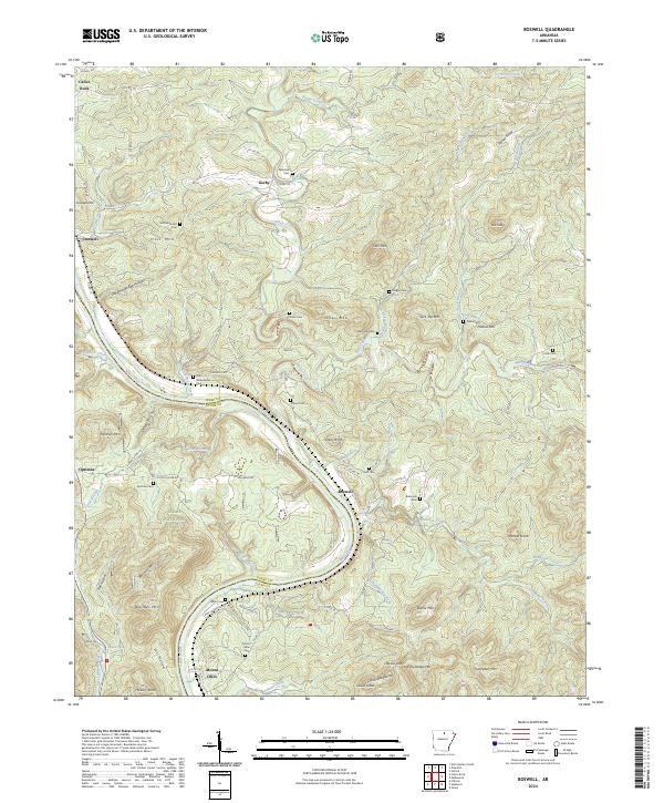 2024 Boswell2024 Print · USGSThis rural Arkansas river valley in the 2020s remains defined by the winding White River and the high ridges of the Ozarks. Genealogists can locate several remote burial sites such as Mount Olive Cem, Staggs Cem, and the Palestine Cem.
 - 2024 Map of Calico Rock, 2024 Print
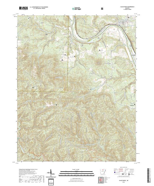 2024 Calico Rock2024 Print · USGSThe White River valley near the Stone and Izard county line is documented here in the early twenty-first century. Genealogists can trace family burial sites at Old Optimus Cem and Roselawn Cem or locate the riverside bluffs near Culp and Optimus.
End of results
Showing maps 1-8 of 8
Top cities near Calico Rock
- Mountain Home historical maps
- Melbourne historical maps
- Oxford historical maps
- Norfork historical maps
- Salesville historical maps
- Pineville historical maps
See more
Frequently asked questions
- What are the different types of historical maps available for Calico Rock?
- What is the oldest map of Calico Rock?
- Where can I purchase historical maps of Calico Rock for my home or office?
- Where can I download high-res historical maps of Calico Rock?
- Are there historical topographic maps available for Calico Rock?
- Is there historical aerial imagery available for Calico Rock?
- Where are historical maps of Calico Rock sourced from?