2020s Maps of Jefferson County, Arkansas
Explore 48 historic maps of Jefferson County from the 2020s. These maps offer a rare glimpse into what life looked like during the 2020s — showing old roads, neighborhoods, homes, and landmarks that have changed or disappeared over time.
Whether you're researching your family's past, planning a metal detecting trip, or studying how Jefferson County's landscape evolved across the 2020s, these high-resolution maps are a powerful tool for exploring the history of this region.
- Focus on a specific era: All maps on this page are from the 2020s, giving you a focused view of this time period.
- See what’s changed: Compare century-old streets, trails, and buildings to today's modern landscape using overlays and satellite layers.
- Research with precision: Use these maps for genealogy, historical research, land use analysis, or educational projects.
- View, download, or print: Maps are fully viewable online in high resolution, and can be downloaded or printed for your own records.
Start exploring Jefferson County's history through authentic maps from the 2020s. This is your window into the past.
Jefferson County, AR maps
(48)- 2020 Map of Grady, 2020 Print
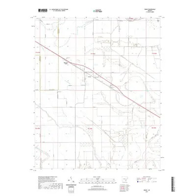 2020 Grady2020 Print · USGSCovers Jefferson County, including Grady, Woodville, and other nearby areas
 - 2020 Map of Gethsemane, 2020 Print
 2020 Gethsemane2020 Print · USGSCovers Jefferson County, including Gethsemane, Lonoke County, and other nearby areas
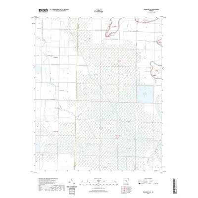
 - 2020 Map of Humphrey, 2020 Print
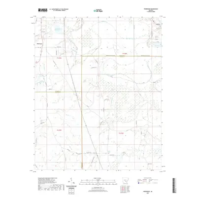
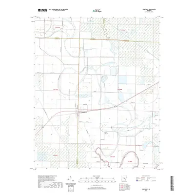 2020 Humphrey2020 Print · USGSCovers Jefferson County, including Humphrey, Arkansas County, and other nearby areas
 - 2020 Map of Cornerstone, 2020 Print
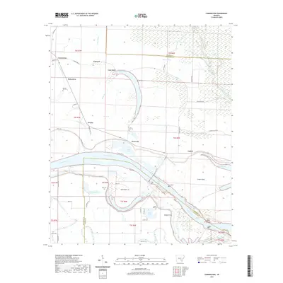 2020 Cornerstone2020 Print · USGSCovers Jefferson County, including Cornerstone, Ichor Falls, and other nearby areas
 - 2020 Map of Kedron, 2020 Print
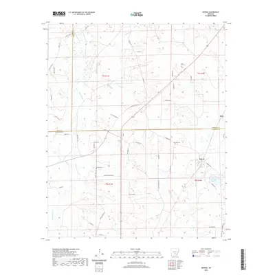 2020 Kedron2020 Print · USGSCovers Jefferson County, including Rone, Kedron, and other nearby areas
 - 2020 Map of One Horse Store, 2020 Print
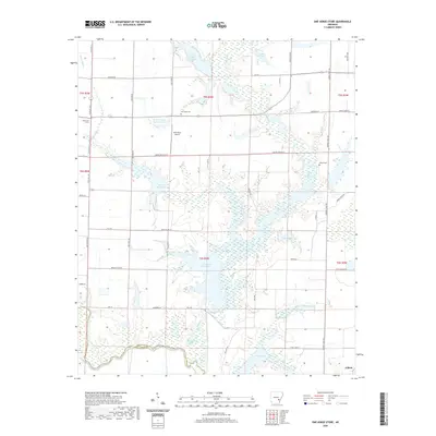 2020 One Horse Store2020 Print · USGSCovers Jefferson County, including Gillett, Arkansas County, and other nearby areas
 - 2020 Map of Reydell, 2020 Print
 2020 Reydell2020 Print · USGSCovers Jefferson County, including Bayou Meto, Langford, and other nearby areas
 - 2020 Map of Cades, 2020 Print
 2020 Cades2020 Print · USGSCovers Jefferson County, including Cades, Farelly Lake, and other nearby areas
 - 2020 Map of Pine Bluff NW, 2020 Print
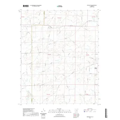 2020 Pine Bluff NW2020 Print · USGSCovers Jefferson County, including Double Wells, Grant County, and other nearby areas
 - 2020 Map of Hardin, 2020 Print
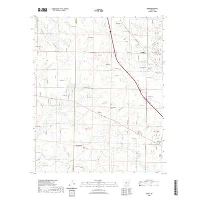 2020 Hardin2020 Print · USGSCovers Jefferson County, including Doylestown, Midway, and other nearby areas
 - 2020 Map of Humphrey SW, 2020 Print
 2020 Humphrey SW2020 Print · USGSCovers Jefferson County, including Vallier, Arkansas County, and other nearby areas
 - 2020 Map of Moscow, 2020 Print
 2020 Moscow2020 Print · USGSCovers Jefferson County, including Linwood, Cottondale, and other nearby areas
 - 2020 Map of Faith, 2020 Print
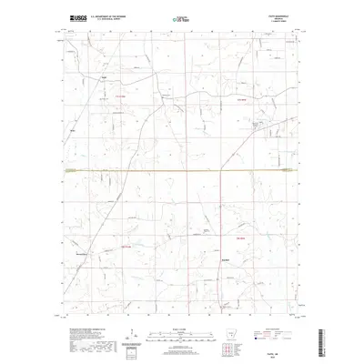 2020 Faith2020 Print · USGSCovers Jefferson County, including Mount Zion, Randall, and other nearby areas
 - 2020 Map of Ladd, 2020 Print
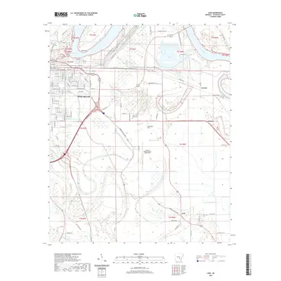 2020 Ladd2020 Print · USGSCovers Jefferson County, including Pine Bluff, Fairfield, and other nearby areas
 - 2020 Map of Wright, 2020 Print
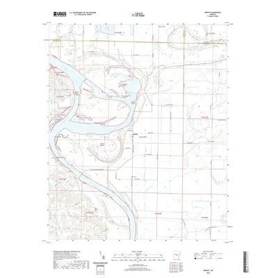 2020 Wright2020 Print · USGSCovers Jefferson County, including Wright, Pulaski County, and other nearby areas
 - 2020 Map of Tarry, 2020 Print
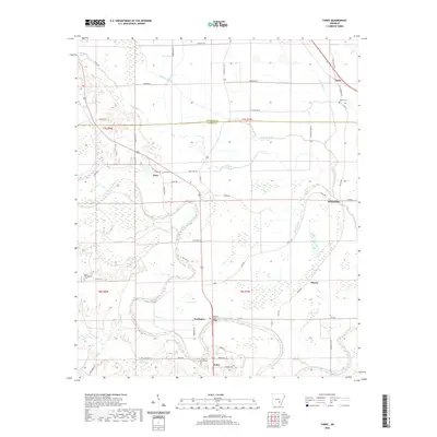 2020 Tarry2020 Print · USGSCovers Jefferson County, including Tamo, Tarry, and other nearby areas
 - 2020 Map of Sherrill, 2020 Print
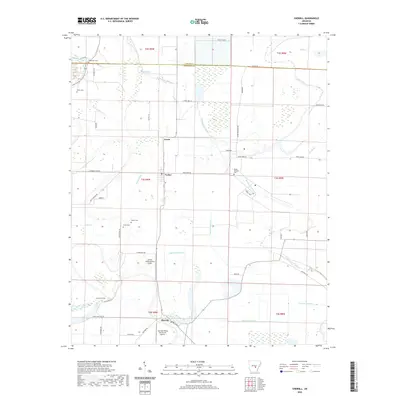 2020 Sherrill2020 Print · USGSCovers Jefferson County, including Sherrill, Tucker, and other nearby areas
 - 2020 Map of Altheimer, 2020 Print
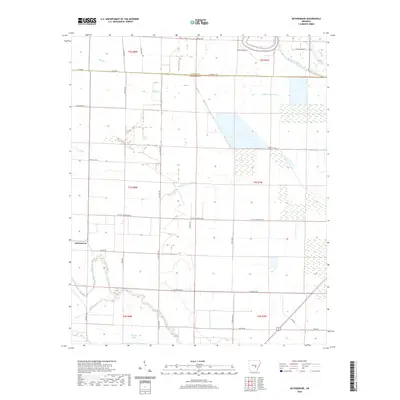
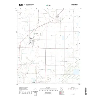 2020 Altheimer2020 Print · USGSCovers Jefferson County, including Altheimer, Wabbaseka, and other nearby areas
 - 2020 Map of Pinebergen, 2020 Print
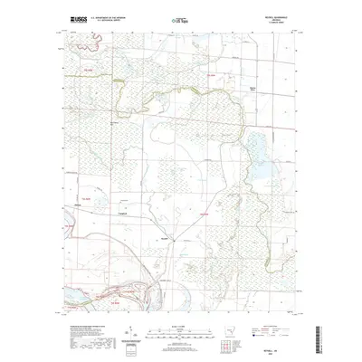
 2020 Pinebergen2020 Print · USGSCovers Jefferson County, including Pinebergen, Hooker, and other nearby areas
 - 2020 Map of Rob Roy, 2020 Print
 2020 Rob Roy2020 Print · USGSCovers Jefferson County, including Pine Bluff, Ellison, and other nearby areas
 - 2020 Map of Redfield, 2020 Print
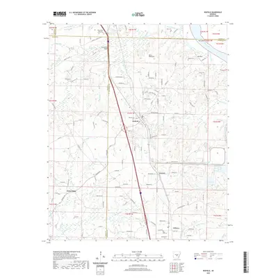 2020 Redfield2020 Print · USGSCovers Jefferson County, including Redfield, English Place, and other nearby areas
 - 2020 Map of Pine Bluff, 2020 Print
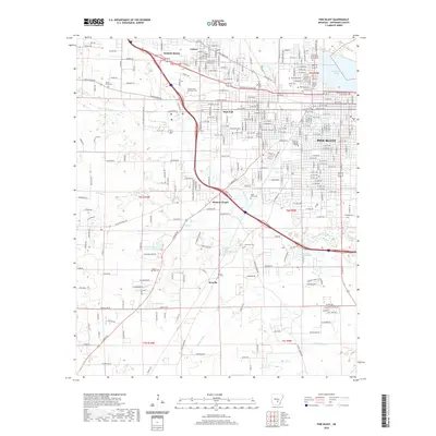 2020 Pine Bluff2020 Print · USGSCovers Jefferson County, including Pine Bluff, White Hall, and other nearby areas
 - 2020 Map of White Hall, 2020 Print
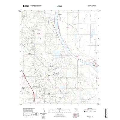 2020 White Hall2020 Print · USGSCovers Jefferson County, including Pine Bluff, White Hall, and other nearby areas
 - 2020 Map of Gillett, 2020 Print
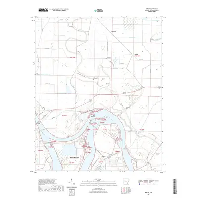
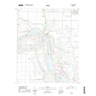 2020 Gillett2020 Print · USGSCovers Jefferson County, including Gillett, Arkansas County, and other nearby areas
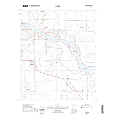
 - 2024 Map of Gethsemane, 2024 Print
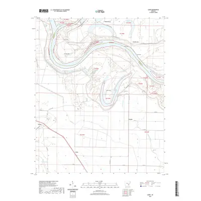
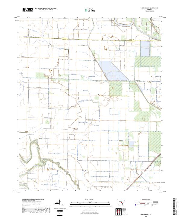 2024 Gethsemane2024 Print · USGSJefferson County agricultural lands are captured here in the mid-2020s, showing a landscape defined by delta bayous and rural section lines. Researchers can trace the meandering Wabbbaseka Bayou and Indian Woman Bayou near the settlement of Gethsemane.
Showing maps 1-25 of 48
Top cities of Jefferson County
- Pine Bluff historical maps
- White Hall historical maps
- Redfield historical maps
- Altheimer historical maps
- Wabbaseka historical maps
- Sherrill historical maps
Frequently asked questions
- What are the different types of historical maps available for Jefferson County?
- What is the oldest map of Jefferson County?
- Where can I purchase historical maps of Jefferson County for my home or office?
- Where can I download high-res historical maps of Jefferson County?
- Are there historical topographic maps available for Jefferson County?
- Is there historical aerial imagery available for Jefferson County?
- Where are historical maps of Jefferson County sourced from?