Old Maps of Morrison Bluff, Arkansas for Hiking & Exploration
Hike through history with 23 historic maps of Morrison Bluff. Explore old trails, ghost towns, and forgotten backroads — perfect for outdoor adventurers and local explorers.
- Rediscover forgotten places: Map out old mining camps, roads, and footpaths that no longer exist on modern maps.
- Layer with modern tools: Combine with LiDAR or satellite views to plan hikes through historical terrain.
- Made for exploration: Popular among hikers, overlanders, and local history lovers.
Use these maps to find adventure and explore the hidden past of Morrison Bluff.
Morrison Bluff, AR maps
(23)- 1887 Map of Magazine Mountain #1
 1887 Magazine Mountain #11887 Print · USGSThe Arkansas River valley in the late 1880s is captured here just as the railroad began reshaping the local economy. Genealogists and researchers can trace early homesteads and rail stops through Paris, Coal Hill, and the river landings at Pattersons Bluff.
 - 1887 Map of Magazine Mountain
 1887 Magazine Mountain1887 Print · USGSNorthwest Arkansas in the 1880s is defined here by the river-and-rail economy along the Arkansas River valley. Genealogists and historians can trace long-forgotten post offices like Burnett Springs and early rail stops such as Coal Hill.
 - 1890 Map of Magazine Mountain
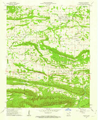
 1890 Magazine Mountain1890 Print · USGSThe Arkansas River Valley is captured here in the late nineteenth century as rail transport begins to eclipse river travel. Genealogists can trace early homesteads and community hubs like Paris, Booneville, and the remote Burnett Springs.6 unique versions available
 - 1956 Map of Russellville
 1956 Russellville1956 Print · USGSThe Arkansas River valley and the surrounding Boston Mountains are captured here in the mid-fifties, showing a landscape of small timber towns and new reservoirs. Genealogists can trace family roots through upland settlements like Pelsor and Witts Springs or locate the campus of Arkansas Polytechnic College.2 unique versions available
 - 1961 Map of Hartman, 1962 Print
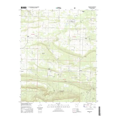
 1961 Hartman1962 Print · USGSThe Arkansas River valley at the start of the sixties reveals a landscape of railroad towns and active coal mining. Genealogists and local historians can trace rural roots at Mount Vernon Ch, Kendall Cem, and the community of Sulphur Springs.3 unique versions available
 - 1961 Map of Scranton, 1962 Print
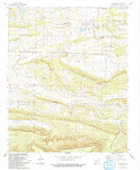
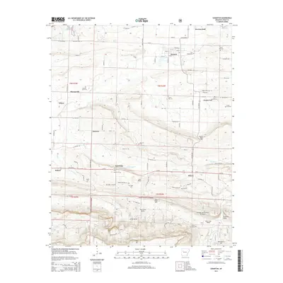
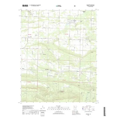
 1961 Scranton1962 Print · USGSLogan County life in the early sixties is centered around Scranton and its surrounding ridge-top communities. Genealogists and historians can trace family locations at Saint Ignatius Ch or numerous burial grounds like Hickory Grove Cem and Ellsworth Cem.3 unique versions available
 - 1964 Map of Russellville
 1964 Russellville1964 Print · USGSMid-century Central Arkansas is defined here by the river-valley towns and the surrounding mountain ranges before the full expansion of the interstate system. Genealogists and historians can trace rail-town development along the Missouri Pacific Railroad and locate landmarks like Arkansas Polytechnic College or Petit Jean State Park.
 - 1977 Map of Russellville
 1977 Russellville1977 Print · USGSThe Arkansas River Valley and surrounding Ozark Mountains are documented here during a period of significant postwar growth and infrastructure development. Genealogists and researchers can locate family landmarks such as Mount Carmel Cem, St Josephs Church, and several remote Coal Mine sites along the Missouri Pacific RR line.
 - 1984 Map of Russellville
 1984 Russellville1984 Print · USGSThe Arkansas River valley in the mid-eighties shows a landscape defined by the rise of Lake Dardanelle and the enduring presence of the Ozark National Forest. Researchers can find historical institutions like Arkansas Tech Univ and Sacred Heart Church or trace the routes of the Missouri Pacific RR.2 unique versions available
 - 1984 Map of Russellville
 1984 Russellville1984 Print · USGSThe Arkansas River valley was undergoing significant change in the 1950s as transportation and water management reshaped the region from Russellville to Conway. Researchers can trace the era's rail networks like the Missouri Pacific RR and explore landmarks like Magazine Mountain and Petit Jean State Park.
 - 1992 Map of Russellville, 1993 Print
 1992 Russellville1993 Print · USGSCentral Arkansas in the early nineties shows a landscape defined by the Arkansas River valley and the surrounding national forests. Trace the development of river towns like Russellville and Dardanelle alongside landmarks such as Lake Dardanelle and Magazine Mtn.
 - 1993 Map of Scranton
 1993 Scranton1993 Print · USGSThe rural landscapes of Logan County are captured here in the early nineties, showing the organized settlements of Scranton and Prairie View amidst a series of prominent ridges. Genealogists can locate numerous burial sites like Saint Meinrads Cem and trace the path of an Old Railroad Grade.
 - 1993 Map of Hartman
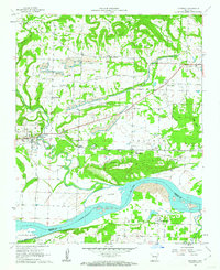
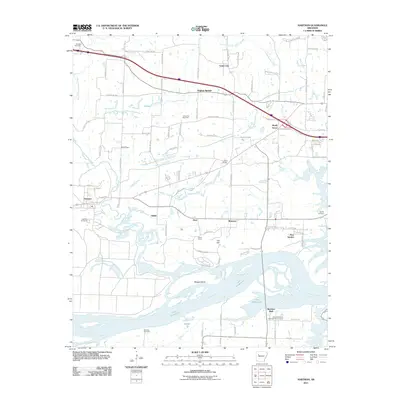
 1993 Hartman1993 Print · USGSThe northern banks of the Arkansas River and Lake Dardanelle are captured here in the early 1990s. Researchers can trace the river economy and local genealogy through landmarks like Skaggs Island, Morrison Bluff, and the Union Grove Ch.
 - 2011 Map of Hartman, 2011 Print
 2011 Hartman2011 Print · USGSCovers Morrison Bluff, including Clarksville, Hartman, and other nearby areas
 - 2011 Map of Scranton, 2011 Print
 2011 Scranton2011 Print · USGSCovers Morrison Bluff, including Subiaco, Scranton, and other nearby areas
 - 2014 Map of Scranton, 2014 Print
 2014 Scranton2014 Print · USGSCovers Morrison Bluff, including Subiaco, Scranton, and other nearby areas
 - 2014 Map of Hartman, 2014 Print
 2014 Hartman2014 Print · USGSCovers Morrison Bluff, including Clarksville, Hartman, and other nearby areas
 - 2017 Map of Hartman, 2017 Print
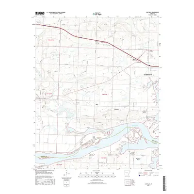 2017 Hartman2017 Print · USGSCovers Morrison Bluff, including Clarksville, Hartman, and other nearby areas
 - 2017 Map of Scranton, 2017 Print
 2017 Scranton2017 Print · USGSCovers Morrison Bluff, including Subiaco, Scranton, and other nearby areas
 - 2020 Map of Scranton, 2020 Print
 2020 Scranton2020 Print · USGSCovers Morrison Bluff, including Subiaco, Scranton, and other nearby areas
 - 2020 Map of Hartman, 2020 Print
 2020 Hartman2020 Print · USGSCovers Morrison Bluff, including Clarksville, Hartman, and other nearby areas
 - 2024 Map of Scranton, 2024 Print
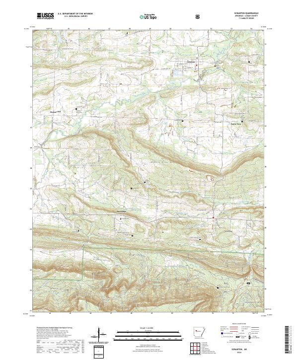 2024 Scranton2024 Print · USGSThe community of Scranton and the surrounding Logan County countryside are captured here in the contemporary era. Genealogists can locate family sites such as Saint Ignatius Cem, Pleasant Grove Cem, and Saint Meinrads Cem.
 - 2024 Map of Hartman, 2024 Print
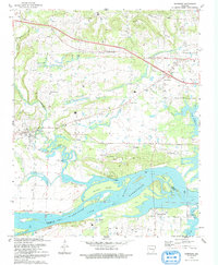
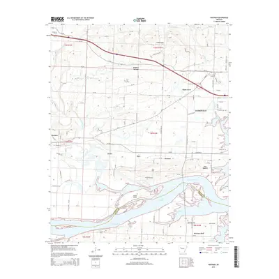
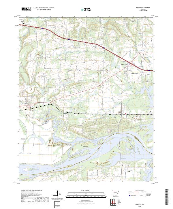 2024 Hartman2024 Print · USGSThe northern banks of the Arkansas River and the western edges of Clarksville are captured here in the twenty-first century. Genealogists can trace family footprints across several rural burial grounds, including Kendall Cem, Hartman Cem, and the riverfront Morrison Bluff.
End of results
Showing maps 1-23 of 23
Top cities near Morrison Bluff
- Clarksville historical maps
- Paris historical maps
- Lamar historical maps
- Coal Hill historical maps
- Knoxville historical maps
- Hartman historical maps
See more
Frequently asked questions
- What are the different types of historical maps available for Morrison Bluff?
- What is the oldest map of Morrison Bluff?
- Where can I purchase historical maps of Morrison Bluff for my home or office?
- Where can I download high-res historical maps of Morrison Bluff?
- Are there historical topographic maps available for Morrison Bluff?
- Is there historical aerial imagery available for Morrison Bluff?
- Where are historical maps of Morrison Bluff sourced from?