Old Maps of Coy, Arkansas for Hiking & Exploration
Hike through history with 23 historic maps of Coy. Explore old trails, ghost towns, and forgotten backroads — perfect for outdoor adventurers and local explorers.
- Rediscover forgotten places: Map out old mining camps, roads, and footpaths that no longer exist on modern maps.
- Layer with modern tools: Combine with LiDAR or satellite views to plan hikes through historical terrain.
- Made for exploration: Popular among hikers, overlanders, and local history lovers.
Use these maps to find adventure and explore the hidden past of Coy.
Coy, AR maps
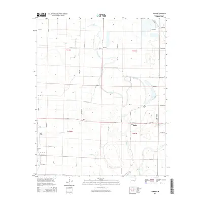
(23)- 1937 Map of England
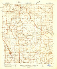 1937 England1937 Print · USGSThe Arkansas Delta south of Lonoke comes alive in the late 1930s, showing a landscape of small farming townships and dense rural school districts. Genealogists can trace family roots through numerous sites like Zion Chapel, Mulberry Cem, and the Macedonia Sch.3 unique versions available
 - 1943 Map of England
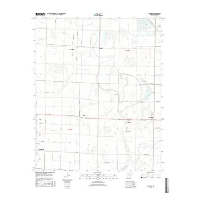
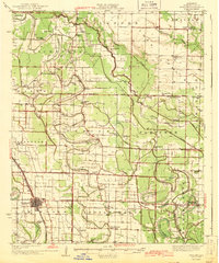 1943 England1943 Print · USGSLonoke County comes into focus just before the mid-century, showing a landscape of delta farming communities and vital rail links. Trace family roots and vanished landmarks through a dense network of country schools and churches like Oldham Sch, Coy, and Zion Chapel.
 - 1948 Map of Helena
 1948 Helena1948 Print · USGSEastern Arkansas and the Mississippi Delta are captured here just after the war, showing a landscape defined by its great rivers and rail lines. Genealogists can trace family locations near Bemis Plantation, Helena, and smaller rail stops like Wheatley and Moro.
 - 1950 Map of Helena
 1950 Helena1950 Print · USGSMid-century Phillips County and the surrounding Delta region are shown at a peak of rail and river commerce. Genealogists and historians can trace family locations through numerous rural communities like Old Austin, Cotton Plant, and West Helena, or follow the routes of the Missouri Pacific RR across Grand Prairie.2 unique versions available
 - 1955 Map of Helena, 1967 Print
 1955 Helena1967 Print · USGSThe Arkansas Delta and Mississippi floodplains are captured here in the mid-fifties, during a period of expanding flood control and rail commerce. Researchers can trace the extensive Chicago Rock Island and Pacific RR lines and locate sites like the Arkansas State College Experimental Rice Farm or Friars Point.2 unique versions available
 - 1959 Map of Helena
 1959 Helena1959 Print · USGSThe Arkansas and Mississippi Delta regions are captured here in the late fifties, showing a landscape defined by the Mississippi River and the Grand Prairie. Genealogists and researchers can trace the rail networks of the Illinois Central RR and locate community landmarks like Helena and the White River National Wildlife Refuge.
 - 1960 Map of Helena
 1960 Helena1960 Print · USGSThe Arkansas and Mississippi Delta regions meet along the great river bends during a period of significant agricultural and rail expansion. Genealogists and historians can trace the paths of the Missouri Pacific railroad through Clarendon or locate landings along the Mississippi River and White River.
 - 1975 Map of England SE, 1977 Print
 1975 England SE1977 Print · USGSLonoke County agricultural lands appear in sharp detail during the mid-seventies, showing the precise intersection of delta farming and ancient watercourses. Researchers can trace the meandering path of Crooked Creek past the settlements of Seaton and Humnoke.
 - 1975 Map of England SW, 1977 Print
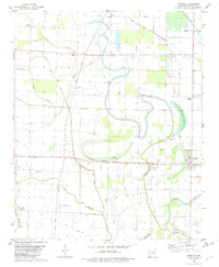
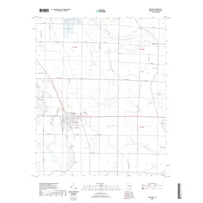
 1975 England SW1977 Print · USGSIn the mid-1970s, the fertile Arkansas Delta around Lonoke County was a landscape of precision-cut fields and winding waterways. Researchers can trace the layout of England and identify rural landmarks along Bakers Bayou and near Coy.
 - 1982 Map of Humnoke
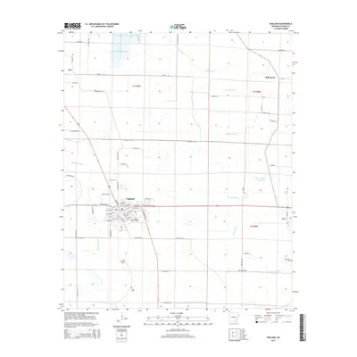
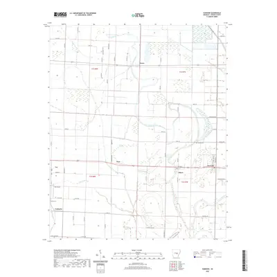
 1982 Humnoke1982 Print · USGSThe Lonoke and Arkansas county line in the early 1980s reveals a precision-engineered agricultural landscape of siphons, flumes, and landing strips. Genealogists can trace family roots through rural landmarks like Gumwood Cem, Rowes Chapel, and the community at Coy.
 - 1982 Map of England
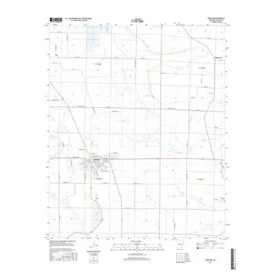
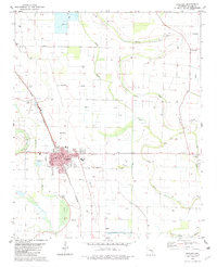 1982 England1982 Print · USGSThe rural landscapes of Lonoke County are meticulously documented here in the early eighties, centered on the railroad town of England. Researchers can trace old family roots at Mulberry Cem, Tomberlin Cem, and country congregations like Union Valley Ch.
 - 1986 Map of Brinkley
 1986 Brinkley1986 Print · USGSThe Grand Prairie and White River basin come to life in the mid-1980s, showing the intersection of heavy rail and interstate travel through eastern Arkansas. Genealogists can locate family sites near Sylvania Cem, Oak Grove Ch, and the rural community of De Valls Bluff.
 - 1990 Map of Brinkley, 1991 Print
 1990 Brinkley1991 Print · USGSEastern Arkansas at the start of the 1990s is defined by the agricultural rhythms of the Grand Prairie and the vital White River corridor. Genealogists and historians can trace the rail-linked growth of Brinkley and Des Arc alongside older landmarks like Peckerwood Lake.
 - 2011 Map of Humnoke, 2011 Print
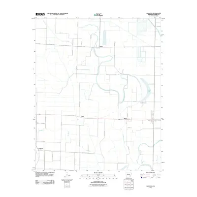 2011 Humnoke2011 Print · USGSCovers Coy, including Humnoke, Allport, and other nearby areas
 - 2011 Map of England, 2011 Print
 2011 England2011 Print · USGSCovers Coy, including England, Keo, and other nearby areas
 - 2014 Map of Humnoke, 2014 Print
 2014 Humnoke2014 Print · USGSCovers Coy, including Humnoke, Allport, and other nearby areas
 - 2014 Map of England, 2014 Print
 2014 England2014 Print · USGSCovers Coy, including England, Keo, and other nearby areas
 - 2017 Map of Humnoke, 2017 Print
 2017 Humnoke2017 Print · USGSCovers Coy, including Humnoke, Allport, and other nearby areas
 - 2017 Map of England, 2017 Print
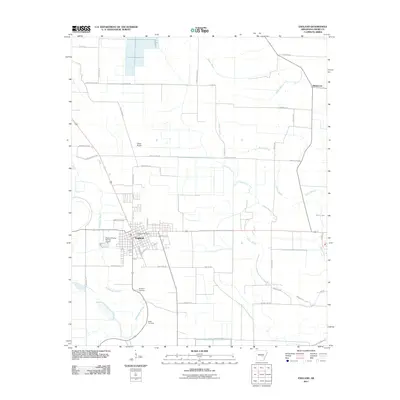
 2017 England2017 Print · USGSCovers Coy, including England, Keo, and other nearby areas
 - 2020 Map of England, 2020 Print
 2020 England2020 Print · USGSCovers Coy, including England, Keo, and other nearby areas
 - 2020 Map of Humnoke, 2020 Print
 2020 Humnoke2020 Print · USGSCovers Coy, including Humnoke, Allport, and other nearby areas
 - 2024 Map of England, 2024 Print
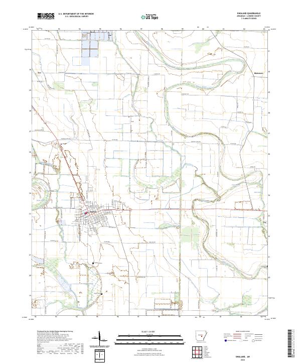 2024 England2024 Print · USGSLonoke County’s agricultural heartland is documented here in the early twenty-first century, showing the enduring settlement patterns of the Arkansas Delta. Researchers can trace family history through sites like Mulberry Cemetery and the small communities of Keo and Coy.
 - 2024 Map of Humnoke, 2024 Print
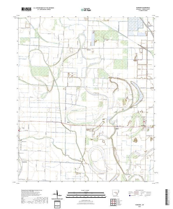 2024 Humnoke2024 Print · USGSLonoke County’s agricultural heartland is documented here in the 2020s, showing a landscape shaped by oxbows and bayous. Family history researchers can locate Gumwood Cem and Tomberlin Cem, or trace early aviation at Walls Airport near the town of Coy.
End of results
Showing maps 1-23 of 23
Top cities near Coy
- England historical maps
- Altheimer historical maps
- Humphrey historical maps
- Wabbaseka historical maps
- Humnoke historical maps
- Keo historical maps
See more
Frequently asked questions
- What are the different types of historical maps available for Coy?
- What is the oldest map of Coy?
- Where can I purchase historical maps of Coy for my home or office?
- Where can I download high-res historical maps of Coy?
- Are there historical topographic maps available for Coy?
- Is there historical aerial imagery available for Coy?
- Where are historical maps of Coy sourced from?