2020s Maps of Madison County, Arkansas
Explore 44 historic maps of Madison County from the 2020s. These maps offer a rare glimpse into what life looked like during the 2020s — showing old roads, neighborhoods, homes, and landmarks that have changed or disappeared over time.
Whether you're researching your family's past, planning a metal detecting trip, or studying how Madison County's landscape evolved across the 2020s, these high-resolution maps are a powerful tool for exploring the history of this region.
- Focus on a specific era: All maps on this page are from the 2020s, giving you a focused view of this time period.
- See what’s changed: Compare century-old streets, trails, and buildings to today's modern landscape using overlays and satellite layers.
- Research with precision: Use these maps for genealogy, historical research, land use analysis, or educational projects.
- View, download, or print: Maps are fully viewable online in high resolution, and can be downloaded or printed for your own records.
Start exploring Madison County's history through authentic maps from the 2020s. This is your window into the past.
Madison County, AR maps
(44)- 2020 Map of Goshen, 2020 Print
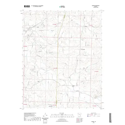 2020 Goshen2020 Print · USGSCovers Madison County, including Goshen, Cross Roads, and other nearby areas
 - 2020 Map of Hindsville, 2020 Print
 2020 Hindsville2020 Print · USGSCovers Madison County, including Hindsville, Clifty, and other nearby areas
 - 2020 Map of Forum, 2020 Print
 2020 Forum2020 Print · USGSCovers Madison County, including Forum, Alabam, and other nearby areas
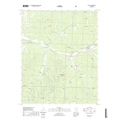
 - 2020 Map of Hartwell, 2020 Print
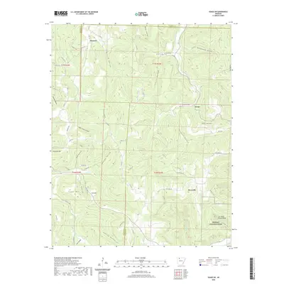
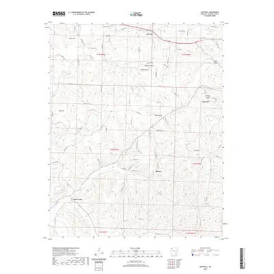 2020 Hartwell2020 Print · USGSCovers Madison County, including Huntsville, Hartwell, and other nearby areas
 - 2020 Map of Marble, 2020 Print
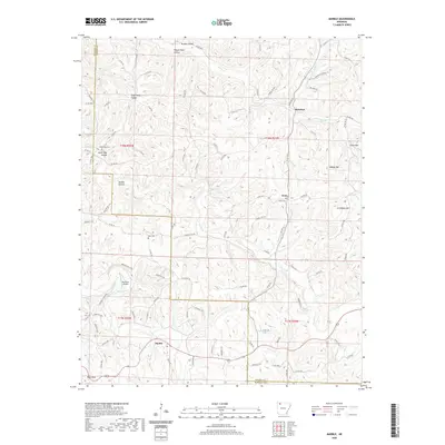 2020 Marble2020 Print · USGSCovers Madison County, including Marble, Dean, and other nearby areas
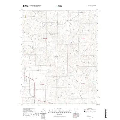
 - 2020 Map of Berryville, 2020 Print
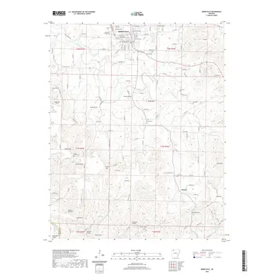 2020 Berryville2020 Print · USGSCovers Madison County, including Berryville, Cabanal, and other nearby areas
 - 2020 Map of Osage, 2020 Print
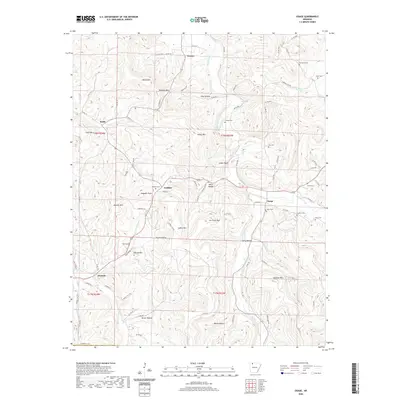 2020 Osage2020 Print · USGSCovers Madison County, including Conner, Gobbler, and other nearby areas
 - 2020 Map of Rockhouse, 2020 Print
 2020 Rockhouse2020 Print · USGSCovers Madison County, including Eureka Springs, Rockhouse, and other nearby areas
 - 2020 Map of Osage SW, 2020 Print
 2020 Osage SW2020 Print · USGSCovers Madison County, including George, Dinsmore, and other nearby areas
 - 2020 Map of Sandstone Mountain, 2020 Print
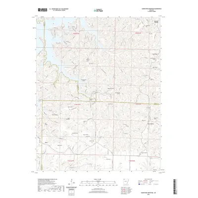 2020 Sandstone Mountain2020 Print · USGSCovers Madison County, including Eureka Springs, Lone Star, and other nearby areas
 - 2020 Map of Spring Valley, 2020 Print
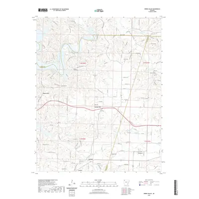 2020 Spring Valley2020 Print · USGSCovers Madison County, including Goshen, Pilgrims Rest, and other nearby areas
 - 2020 Map of Huntsville, 2020 Print
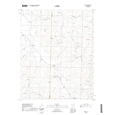
 2020 Huntsville2020 Print · USGSCovers Madison County, including Huntsville, Wharton, and other nearby areas
 - 2020 Map of Kingston, 2020 Print
 2020 Kingston2020 Print · USGSCovers Madison County, including Purdy, Kingston, and other nearby areas
 - 2020 Map of Durham, 2020 Print
 2020 Durham2020 Print · USGSCovers Madison County, including Thompson, Cannon Creek, and other nearby areas
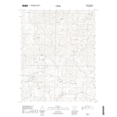
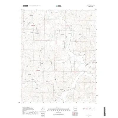
 - 2020 Map of Weathers, 2020 Print
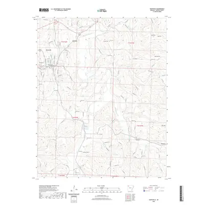
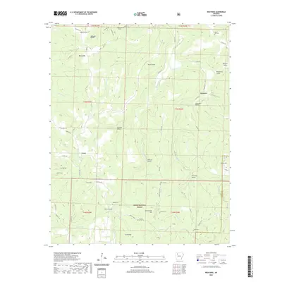 2020 Weathers2020 Print · USGSCovers Madison County, including Reynolds, Weathers, and other nearby areas
 - 2020 Map of Boxley, 2020 Print
 2020 Boxley2020 Print · USGSCovers Madison County, including Reeves, Boxley, and other nearby areas
 - 2020 Map of Boston, 2020 Print
 2020 Boston2020 Print · USGSCovers Madison County, including Boston, Arbaugh, and other nearby areas
 - 2020 Map of Witter, 2020 Print
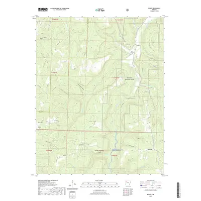
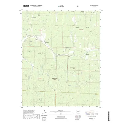
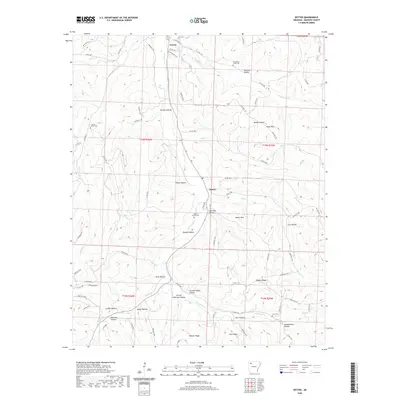 2020 Witter2020 Print · USGSCovers Madison County, including Aurora, Witter, and other nearby areas
 - 2020 Map of Delaney, 2020 Print
 2020 Delaney2020 Print · USGSCovers Madison County, including Delaney, Hazel Valley, and other nearby areas
 - 2020 Map of Japton, 2020 Print
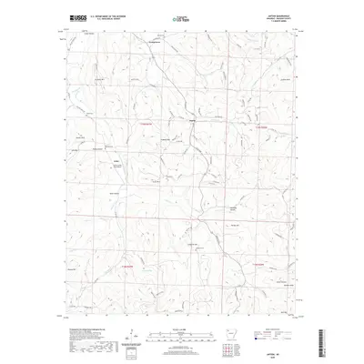 2020 Japton2020 Print · USGSCovers Madison County, including Japton, Asher, and other nearby areas
 - 2020 Map of Saint Paul, 2020 Print
 2020 Saint Paul2020 Print · USGSCovers Madison County, including Saint Paul, Brashears, and other nearby areas
 - 2020 Map of Pettigrew, 2020 Print
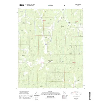
 2020 Pettigrew2020 Print · USGSCovers Madison County, including Dutton, Pettigrew, and other nearby areas
 - 2024 Map of Osage, 2024 Print
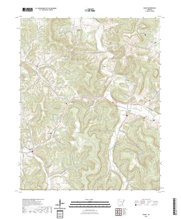 2024 Osage2024 Print · USGSCarroll County, Arkansas, remains a landscape of deep hollows and high ridges as seen in this modern survey. Genealogists can trace family roots through sites like Mc Gehee Cem, Fancher Cem, and the old crossroads at Gobbler and Osage.
 - 2024 Map of Marble, 2024 Print
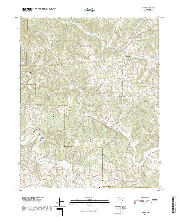 2024 Marble2024 Print · USGSThe Ozark highlands at the Carroll and Madison County line remain a network of hollows and ridges in this recent survey. Researchers can locate remote burial sites like Mert Cem and trace the paths of Piney Creek and the Kings River.
 - 2024 Map of Boxley, 2024 Print
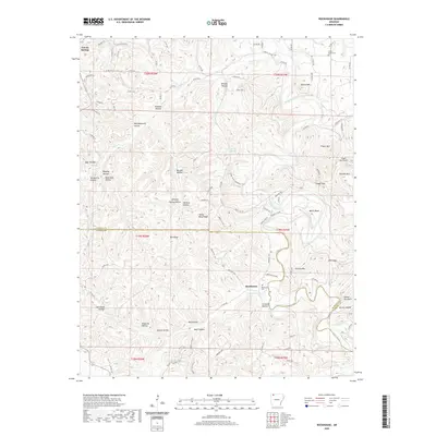
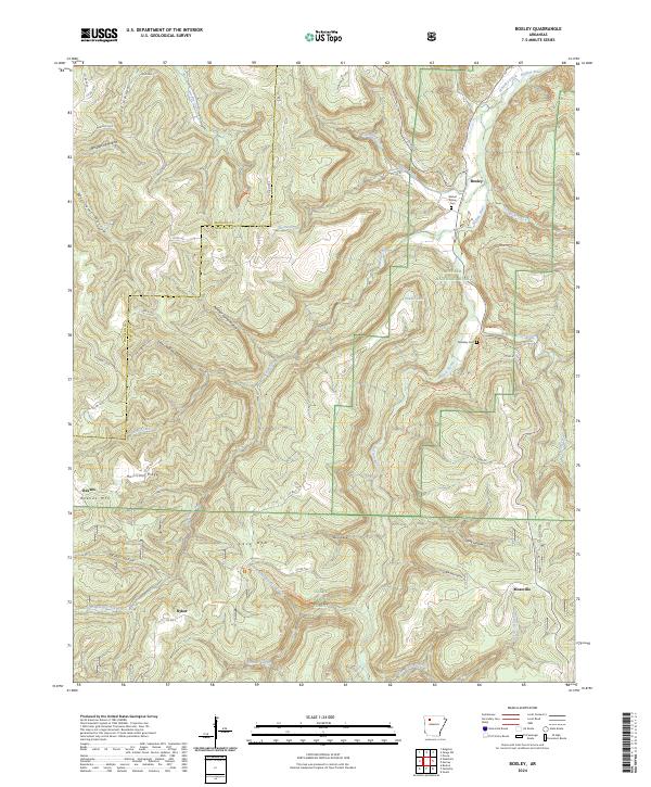 2024 Boxley2024 Print · USGSNewton County's high Ozark plateaus and river valleys are captured here in the modern era. Genealogists and hikers can locate the Whiteley School Trail, the quiet Walnut Grove Cemetery, and landmarks like Whitaker Point.
Showing maps 1-25 of 44
Top cities of Madison County
Frequently asked questions
- What are the different types of historical maps available for Madison County?
- What is the oldest map of Madison County?
- Where can I purchase historical maps of Madison County for my home or office?
- Where can I download high-res historical maps of Madison County?
- Are there historical topographic maps available for Madison County?
- Is there historical aerial imagery available for Madison County?
- Where are historical maps of Madison County sourced from?