Old Maps of Madison County, Arkansas for Genealogy
Trace your family roots with 151 historic maps of Madison County. These high-res maps reveal old neighborhoods, homesites, landmarks, and streets — helping you uncover where your ancestors lived and how the area evolved over time.
- Explore historic neighborhoods: Identify where your relatives may have lived in the 1800s or 1900s.
- Compare maps over time: Trace the changes in streets, buildings, and landmarks for multi-generational research.
- Perfect for genealogy & ancestry research: Used by family historians and researchers to map out lineage and migration.
These maps are an incredible resource for exploring your personal connection to Madison County's past.
Madison County, AR maps
(151)- 1900 Map of Eureka Springs, 1954 Print
 1900 Eureka Springs1954 Print · USGSThe Ozark Mountains around the Arkansas and Missouri border are shown here during the turn of the century, when the river-and-rail economy was firmly established. Researchers can locate early family crossings and landmarks like Knox Ferry, Pivot Rock, and the St. Louis & San Francisco R. R.
 - 1901 Map of Eureka Springs
 1901 Eureka Springs1901 Print · USGSThe Arkansas Ozarks at the turn of the century are captured here in a time of river ferries and mountain townships. Genealogists and historians can locate early settlements like Eureka Springs and Berryville, or trace historic crossings such as Knox Ferry and Ellis Ford.3 unique versions available
 - 1904 Map of Harrison, 1954 Print
 1904 Harrison1954 Print · USGSThe Ozark Mountains of Northwest Arkansas are documented here at the turn of the century, showing a landscape of pioneer settlements and new rail lines. Genealogists can trace early homesteads and commerce at Blantons Mill, the village of Carrollton, and the regional hub of Harrison.
 - 1905 Map of Harrison
 1905 Harrison1905 Print · USGSThe Ozark Plateau at the start of the century was a land of winding mountain railroads and isolated creek-side settlements. Genealogists can trace family footprints across the highlands from Lead Hill to Green Forest, finding early industrial landmarks like Blantons Mill and the Rock Quarry.3 unique versions available
 - 1943 Map of St. Paul, 1956 Print
 1943 St. Paul1956 Print · USGSThe upper Ozark highlands of Madison County are captured here in the mid-1940s, showing a landscape of isolated mountain schools and river-valley settlements. Researchers can trace the heritage of rural communities through landmarks like St Paul, Hazel Valley Sch, and the Riverside Cem.5 unique versions available
 - 1945 Map of Harrison
 1945 Harrison1945 Print · USGSThe Ozark and Boston Mountains straddle the Missouri-Arkansas border during the mid-forties, showing a landscape of forest ridges and river valleys. Genealogists and historians can trace rail-connected towns like Monett and West Plains or early lake developments at Bull Shoals Res and Norfork Lake.
 - 1946 Map of St. Paul
 1946 St. Paul1946 Print · USGSMadison County's rugged Ozark interior is captured in the mid-forties, showing a landscape of remote hollows and mountain schools. Genealogists can trace family roots through sites like Liberty Cem, Delaney Creek Sch, and the community of St Paul.2 unique versions available
 - 1949 Map of Harrison
 1949 Harrison1949 Print · USGSThe Ozark highlands of northern Arkansas and southern Missouri are shown just after the war, when the White River still followed its original course. Genealogists and historians can trace rail lines like the Missouri & Arkansas RR and locate rural hubs like Harrison, Eureka Springs, and Mountain Home.
 - 1954 Map of Harrison
 1954 Harrison1954 Print · USGSThe Ozarks and Boston Mountains meet during a period of massive river engineering in the mid-fifties. Researchers can trace the early shorelines of Bull Shoals Lake and Table Rock Reservoir or locate inland towns like Berryville and Harrison.
 - 1956 Map of Russellville
 1956 Russellville1956 Print · USGSThe Arkansas River valley and the surrounding Boston Mountains are captured here in the mid-fifties, showing a landscape of small timber towns and new reservoirs. Genealogists can trace family roots through upland settlements like Pelsor and Witts Springs or locate the campus of Arkansas Polytechnic College.2 unique versions available
 - 1957 Map of Mundell, 1959 Print
 1957 Mundell1959 Print · USGSThe Ozark highlands near the triple-county junction of Benton, Madison, and Carroll are shown here in the late 1950s. Researchers can locate remote rural institutions like Union Chapel, Pemberton Cem, and the historic Durham Mill Hollow along the winding Big Clifty Creek.3 unique versions available
 - 1958 Map of Goshen, 1959 Print
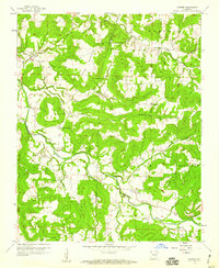 1958 Goshen1959 Print · USGSThe foothills of Washington and Madison counties are shown here in the late fifties as a network of small settlements and family farms. Researchers can trace local history through sites like the Richland Tabernacle, Tisdale Ford, and the Benson Lookout Tower.3 unique versions available
 - 1958 Map of Spring Valley, 1959 Print
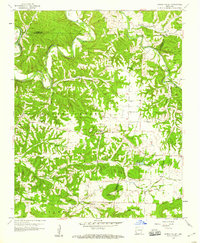 1958 Spring Valley1959 Print · USGSNorthwest Arkansas in the late fifties was a landscape of winding river valleys and dispersed family homesteads at the intersection of three counties. Genealogists can trace family names through rural burial grounds like Austin Cem and Whitener Cem or locate the old Pilgrims Rest Sch.3 unique versions available
 - 1958 Map of Hindsville, 1959 Print
 1958 Hindsville1959 Print · USGSMadison County in the late fifties shows a landscape of deep Ozark hollows and small family settlements along the War Eagle Creek. Researchers can locate several rural landmarks including the Clear Creek Sch, Lone Star Ch, and Bohannan Cem.3 unique versions available
 - 1958 Map of Harrison, 1973 Print
 1958 Harrison1973 Print · USGSThe Ozark and Boston Mountains appear in this mid-century survey as the great White River impoundments were reshaping the region. Researchers can trace the rail lines of the St Louis-San Francisco Ry and locate early settlements like Berryville and Gainesville.
 - 1964 Map of Russellville
 1964 Russellville1964 Print · USGSMid-century Central Arkansas is defined here by the river-valley towns and the surrounding mountain ranges before the full expansion of the interstate system. Genealogists and historians can trace rail-town development along the Missouri Pacific Railroad and locate landmarks like Arkansas Polytechnic College or Petit Jean State Park.
 - 1964 Map of Harrison
 1964 Harrison1964 Print · USGSThe Ozark and Boston Mountains of Arkansas and Missouri are captured here in the mid-sixties, showing the rugged highlands before extensive modern development. Genealogists and historians can trace family-named peaks like Gaither Mountain and follow the St Louis-San Francisco RR through Monett and Purdy.
 - 1968 Map of Osage, 1969 Print
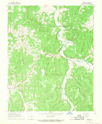 1968 Osage1969 Print · USGSCarroll County in the late sixties remains a landscape of deep hollows and high ridges centered on the Osage Creek valley. Genealogists and local historians can trace family locations near Rudd, the Gobbler Ch, and numerous burial sites including Bobo Cem.2 unique versions available
 - 1968 Map of Boxley, 1969 Print
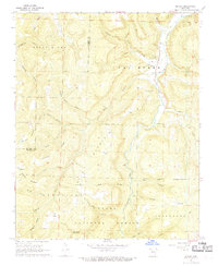 1968 Boxley1969 Print · USGSThe upper Buffalo River valley and the high ridges of the Ozarks are captured here in the late sixties. Genealogists and hikers can trace remote settlements and landmarks like Boxley, the Walnut Grove Cem, and Cave Mountain Cave.3 unique versions available
 - 1968 Map of Osage SW, 1969 Print
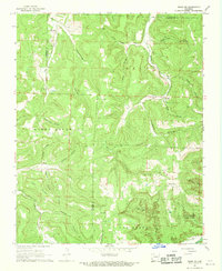 1968 Osage SW1969 Print · USGSNewton County in the late 1960s remains a landscape of deep hollows and high ridges at the Buffalo River's edge. Researchers can trace the rural communities of George, Dinsmore, and Stoverville alongside family landmarks like Elkhorn Church.4 unique versions available
 - 1972 Map of Rockhouse, 1973 Print
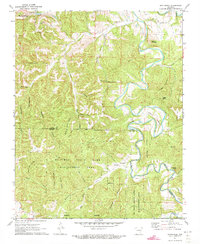 1972 Rockhouse1973 Print · USGSThe Ozark highlands of Carroll and Madison Counties are shown here during the early seventies, centered on the winding Kings River. Genealogists and local historians can locate the Shady Grove Cem and rural communities like Winona Springs and Rockhouse.3 unique versions available
 - 1972 Map of Berryville, 1973 Print
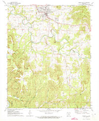 1972 Berryville1973 Print · USGSBerryville and the surrounding Ozark highlands are captured here in the early seventies, showcasing a landscape of deep hollows and rural community life. Researchers can locate many old creek crossings and family landmarks, including McKennon Ford, Pension Mountain School, and Briley Cemetery.
 - 1973 Map of Witter, 1976 Print
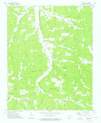 1973 Witter1976 Print · USGSIn the early 1970s, this portion of Madison County remains a landscape of deep hollows and isolated family cemeteries. Researchers can locate remote burial sites like Captain Smiths Cem and follow the branching waters of War Eagle Creek past Witter and Aurora.
 - 1973 Map of Boston, 1976 Print
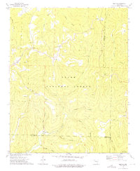 1973 Boston1976 Print · USGSThe high ridges and deep hollows of the Ozarks are meticulously detailed in the early 1970s, showing the rugged intersection of Madison and Newton counties. Genealogists and historians can locate family sites at Evans Cemetery, rural congregations like Boston Ch, and the isolated settlement of Red Star.2 unique versions available
 - 1973 Map of Kingston, 1976 Print
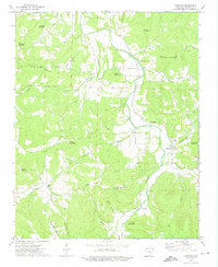 1973 Kingston1976 Print · USGSThe Kings River valley in the early seventies remains a landscape of high peaks and tight-knit hollows. Genealogists can locate family landmarks like Kingston Cem, Loy Cem, and rural congregations including Big Sandy Ch or Upper Wharton Ch.
Showing maps 1-25 of 151
Top cities of Madison County
Frequently asked questions
- What are the different types of historical maps available for Madison County?
- What is the oldest map of Madison County?
- Where can I purchase historical maps of Madison County for my home or office?
- Where can I download high-res historical maps of Madison County?
- Are there historical topographic maps available for Madison County?
- Is there historical aerial imagery available for Madison County?
- Where are historical maps of Madison County sourced from?