2010s Maps of Madison County, Arkansas
Explore 66 historic maps of Madison County from the 2010s. These maps offer a rare glimpse into what life looked like during the 2010s — showing old roads, neighborhoods, homes, and landmarks that have changed or disappeared over time.
Whether you're researching your family's past, planning a metal detecting trip, or studying how Madison County's landscape evolved across the 2010s, these high-resolution maps are a powerful tool for exploring the history of this region.
- Focus on a specific era: All maps on this page are from the 2010s, giving you a focused view of this time period.
- See what’s changed: Compare century-old streets, trails, and buildings to today's modern landscape using overlays and satellite layers.
- Research with precision: Use these maps for genealogy, historical research, land use analysis, or educational projects.
- View, download, or print: Maps are fully viewable online in high resolution, and can be downloaded or printed for your own records.
Start exploring Madison County's history through authentic maps from the 2010s. This is your window into the past.
Madison County, AR maps
(66)- 2011 Map of Hartwell, 2011 Print
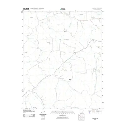 2011 Hartwell2011 Print · USGSMadison County at the start of the 2010s reveals a landscape of high Ozark ridges and deep creek bottoms. Researchers can trace family history at Farmer Cemetery or follow the legacy of old crossroads like Roxton and Drakes Creek.
 - 2011 Map of Sandstone Mountain, 2011 Print
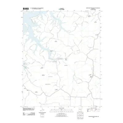 2011 Sandstone Mountain2011 Print · USGSCarroll County's high ridges and deep hollows are shown in this 2011 survey, where the waters of Beaver Lake meet the steep terrain. Genealogists can locate family sites at Pemberton Cemetery or Rambo Cemetery and trace the old roads through West Liberty.
 - 2011 Map of Berryville, 2011 Print
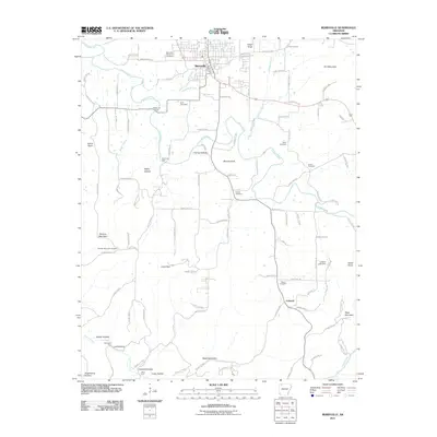 2011 Berryville2011 Print · USGSBerryville and the surrounding Carroll County highlands are documented here during the early twenty-first century. Genealogists and local historians can trace family locations across the landscape, from Pension Mountain Cemetery to remote landmarks like McKennon Ford and Cabanal.
 - 2011 Map of Goshen, 2011 Print
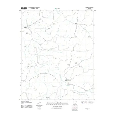 2011 Goshen2011 Print · USGSWashington County at the start of the 2010s reveals a landscape of high ridges and winding creek valleys. Genealogists can locate several rural burial sites like Boatrigth Cemetery and Smith Cemetery or trace the area around the Wesley Post Office.
 - 2011 Map of Huntsville, 2011 Print
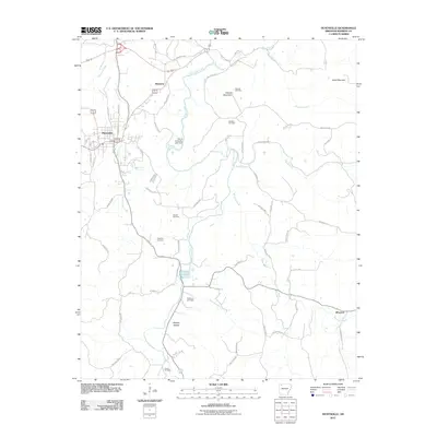 2011 Huntsville2011 Print · USGSHuntsville and its Madison County surroundings are documented here at the turn of the decade, showing the Ozark landscape as it transitioned into the 2010s. Researchers can locate family landmarks like Carlock Cemetery, Hanney Hollow, and the rural community of Wharton.
 - 2011 Map of Osage, 2011 Print
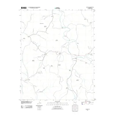 2011 Osage2011 Print · USGSCarroll County’s rural uplands are shown in detail during the early 2010s, mapping the winding creeks and hollows of the Ozarks. Genealogists can locate family landmarks like the Sisco Cemetery and Snead Cemetery near settlements like Osage and Gobbler.
 - 2011 Map of Spring Valley, 2011 Print
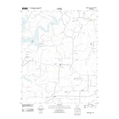 2011 Spring Valley2011 Print · USGSThe rural highlands of Washington County are captured here just after the first decade of the new millennium. Researchers can trace family history through numerous landmarks including Spring Valley, Johnson Cemetery, and the river crossings at Cook Ford.
 - 2011 Map of Hindsville, 2011 Print
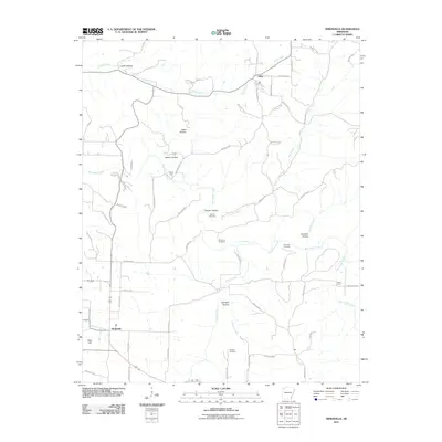 2011 Hindsville2011 Print · USGSMadison County at the start of the 2010s shows a landscape of deep hollows and rural creek crossings. Genealogists can locate family burial sites like Bohannan Cemetery and Scissom Cemetery or trace old routes near Parker Ford.
 - 2011 Map of Forum, 2011 Print
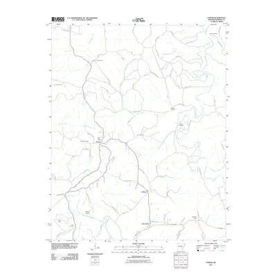 2011 Forum2011 Print · USGSMadison County at the turn of the decade reveals a landscape of quiet hollows and rural settlements along the Kings River. Genealogists and historians can trace family roots at the Marshall Cemetery, Fritts Cemetery, and the historic area around Old Alabam.
 - 2011 Map of Osage SW, 2011 Print
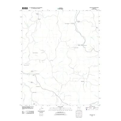 2011 Osage SW2011 Print · USGSNewton County's Ozark highlands are captured here in the early twenty-first century, showing a landscape of high ridges and deep hollows. Family historians can trace ancestral lands near George, Stoverville, or the Hopewell Cemetery.
 - 2011 Map of Rockhouse, 2011 Print
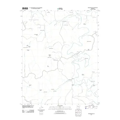 2011 Rockhouse2011 Print · USGSThe river valley around Rockhouse comes into focus in this early twenty-first-century survey of Carroll County. Genealogists and local historians can trace family-named terrain and landmarks like Rockhouse Cemetery, Mason Bend, and Turkey Wing Ridge.
 - 2011 Map of Marble, 2011 Print
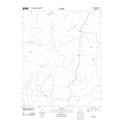 2011 Marble2011 Print · USGSMadison County in the early twenty-first century is documented here through its network of Ozark hollows and ridge-top settlements. Genealogists can locate family burial sites at White Oak Cemetery and Dean Cemetery or trace the rural landscape around Metalton and Marble.
 - 2011 Map of Kingston, 2011 Print
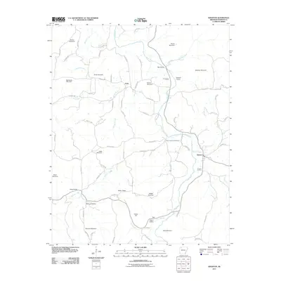 2011 Kingston2011 Print · USGSThe Kings River valley and the settlement of Kingston are captured in the early twenty-first century, showing a landscape defined by high ridges and creek branches. Genealogists can locate several historic burial sites, such as the Loy Cemetery, Parker-Boydston Cemetery, and Kingston Cemetery.
 - 2011 Map of Boston, 2011 Print
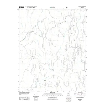 2011 Boston2011 Print · USGSThe headwaters of the Kings and White Rivers come into focus during the early twenty-first century in this part of Madison County. Local historians can trace old homestead sites near Red Star and Arbaugh or locate family plots at Ratford Cemetery and Buckhorn Cemetery.
 - 2011 Map of Delaney, 2011 Print
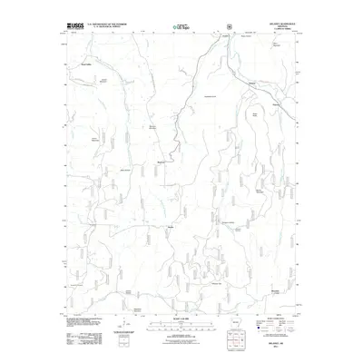 2011 Delaney2011 Print · USGSMadison County's highland river valleys are captured here in the early twenty-first century as they appeared before recent development. Researchers can trace family history through local landmarks like Temple Hill Cemetery and the settlements of Hazel Valley and Patrick.
 - 2011 Map of Pettigrew, 2011 Print
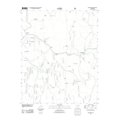 2011 Pettigrew2011 Print · USGSMadison County high country is documented here at the start of the 2010s, showing the remote communities and family lands of the Ozarks. Genealogists can trace family names through landmarks like Williams Cemetery, Kilgore Gap, and the Pettigrew Post Office.
 - 2011 Map of Witter, 2011 Print
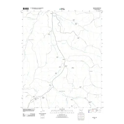 2011 Witter2011 Print · USGSMadison County at the turn of the decade is documented here as a network of deep-cut hollows and ancestral cemeteries. Genealogists can trace family connections through sites like Captain Smiths Cemetery and named locales such as Hoxey Hollow.
 - 2011 Map of Weathers, 2011 Print
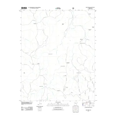 2011 Weathers2011 Print · USGSMadison County in the early twenty-first century remains a landscape of isolated hollows and high ridges centered on the Kings River. Genealogists can trace family names at Dripping Springs Cemetery, Eagle Gap Cemetery, and the settlement of Venus.
 - 2011 Map of Boxley, 2011 Print
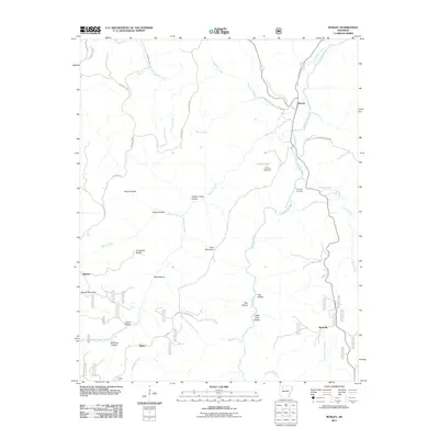 2011 Boxley2011 Print · USGSNewton County's high Ozark country is captured here during the early 2000s, centered on the Buffalo River valley. Researchers can trace family history through the Whiteley Cemetery and early settlements like Boxley, Mossville, and Ryker.
 - 2011 Map of Japton, 2011 Print
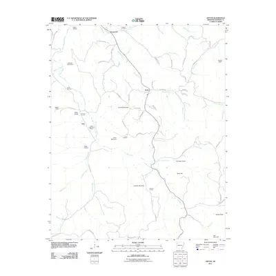 2011 Japton2011 Print · USGSMadison County at the start of the decade reveals a landscape of high mountains and winding creek beds. Researchers can locate several family burial sites like Duncan Cemetery and Grose Cemetery or trace the roads through Japton and Asher.
 - 2011 Map of Saint Paul, 2011 Print
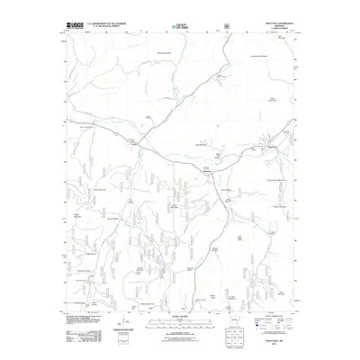 2011 Saint Paul2011 Print · USGSMadison County high country is documented here at the start of the 2010s, centered on the settlements of Saint Paul and Combs. Researchers can locate numerous upland burial sites including Riverside Cemetery and Mill Creek Cemetery, or trace the rugged geography of Joe Salee Bluff and Fly Gap Mountain.
 - 2011 Map of Durham, 2011 Print
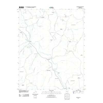 2011 Durham2011 Print · USGSMadison County's river valleys and high Ozark peaks are captured here in the early twenty-first century as the White River winds past rural communities. Genealogists can locate family landmarks like Shumate Cemetery, Chicken Bristle Mountain, and Greens Hollow.
 - 2014 Map of Hindsville, 2014 Print
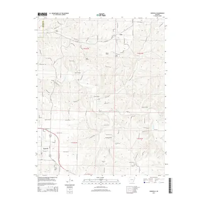 2014 Hindsville2014 Print · USGSIn the hills of Madison County during the twenty-first century, the landscape around Hindsville remains defined by its complex creek valleys and family landmarks. Genealogists can locate several rural burial sites, including Bohannan Cem and Scissom Cem, or trace crossings at Rocky Ford.
 - 2014 Map of Marble, 2014 Print
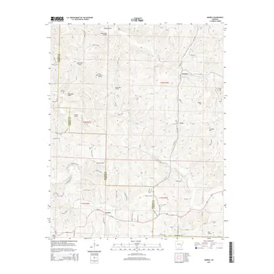 2014 Marble2014 Print · USGSThe Madison and Carroll County border area in northern Arkansas is shown here during a period of modern rural continuity. Genealogists and local historians can trace family locations near Marble and Metalton, or locate burial sites like White Oak Cem and Dean Cem.
 - 2014 Map of Kingston, 2014 Print
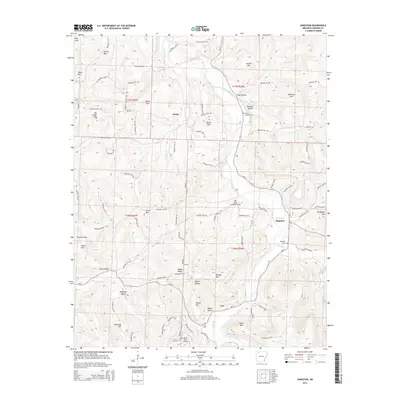 2014 Kingston2014 Print · USGSThe Kings River valley and the community of Kingston are captured here in the early twenty-first century. Researchers can trace genealogical roots through several rural burial sites, including Loy Cem and the Parker Boydstun Cem.
Showing maps 1-25 of 66
Top cities of Madison County
Frequently asked questions
- What are the different types of historical maps available for Madison County?
- What is the oldest map of Madison County?
- Where can I purchase historical maps of Madison County for my home or office?
- Where can I download high-res historical maps of Madison County?
- Are there historical topographic maps available for Madison County?
- Is there historical aerial imagery available for Madison County?
- Where are historical maps of Madison County sourced from?