1900s (20th Century) Maps of Marion County, Arkansas
Explore 34 historic maps of Marion County from the 1900s (20th Century). These maps offer a rare glimpse into what life looked like during the 1900s — showing old roads, neighborhoods, homes, and landmarks that have changed or disappeared over time.
Whether you're researching your family's past, planning a metal detecting trip, or studying how Marion County's landscape evolved across the 1900s, these high-resolution maps are a powerful tool for exploring the history of this region.
- Focus on a specific era: All maps on this page are from the 1900s, giving you a focused view of this time period.
- See what’s changed: Compare century-old streets, trails, and buildings to today's modern landscape using overlays and satellite layers.
- Research with precision: Use these maps for genealogy, historical research, land use analysis, or educational projects.
- View, download, or print: Maps are fully viewable online in high resolution, and can be downloaded or printed for your own records.
Start exploring Marion County's history through authentic maps from the 1900s. This is your window into the past.
Marion County, AR maps
(34)- 1903 Map of Yellville
 1903 Yellville1903 Print · USGSNorth Central Arkansas in the late nineteenth century is a land of winding river valleys and ridge-top settlements. Genealogists can trace early homesteads and river crossings like Denton Ferry, Yellville, and the remote outposts of Dodd City or St. Joe.
 - 1905 Map of Yellville
 1905 Yellville1905 Print · USGSThe Ozark Mountains and the winding White River define this area at the start of the twentieth century. Genealogists can trace family names through dozens of river crossings and small settlements like Denton Ferry, Rush, and Elixir Springs.3 unique versions available
 - 1929 Map of Yellville, 1954 Print
 1929 Yellville1954 Print · USGSThe Ozark river valleys and early rail corridors of north-central Arkansas are shown here during the late 1920s. Researchers can trace historic river crossings like Whites Ferry and Moony Ford or locate regional hubs such as Yellville and Cotter.
 - 1945 Map of Harrison
 1945 Harrison1945 Print · USGSThe Ozark and Boston Mountains straddle the Missouri-Arkansas border during the mid-forties, showing a landscape of forest ridges and river valleys. Genealogists and historians can trace rail-connected towns like Monett and West Plains or early lake developments at Bull Shoals Res and Norfork Lake.
 - 1949 Map of Harrison
 1949 Harrison1949 Print · USGSThe Ozark highlands of northern Arkansas and southern Missouri are shown just after the war, when the White River still followed its original course. Genealogists and historians can trace rail lines like the Missouri & Arkansas RR and locate rural hubs like Harrison, Eureka Springs, and Mountain Home.
 - 1954 Map of Harrison
 1954 Harrison1954 Print · USGSThe Ozarks and Boston Mountains meet during a period of massive river engineering in the mid-fifties. Researchers can trace the early shorelines of Bull Shoals Lake and Table Rock Reservoir or locate inland towns like Berryville and Harrison.
 - 1958 Map of Harrison, 1973 Print
 1958 Harrison1973 Print · USGSThe Ozark and Boston Mountains appear in this mid-century survey as the great White River impoundments were reshaping the region. Researchers can trace the rail lines of the St Louis-San Francisco Ry and locate early settlements like Berryville and Gainesville.
 - 1964 Map of Harrison
 1964 Harrison1964 Print · USGSThe Ozark and Boston Mountains of Arkansas and Missouri are captured here in the mid-sixties, showing the rugged highlands before extensive modern development. Genealogists and historians can trace family-named peaks like Gaither Mountain and follow the St Louis-San Francisco RR through Monett and Purdy.
 - 1966 Map of Cozahome, 1967 Print
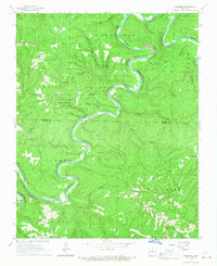 1966 Cozahome1967 Print · USGSThe Ozark Mountains of the mid-sixties are captured here as the Buffalo River carves through the Searcy and Marion county lines. Genealogists and local historians can trace family sites like De Soto Cem, Cozahome, and the Mull Ch.2 unique versions available
 - 1966 Map of Big Flat, 1967 Print
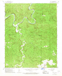 1966 Big Flat1967 Print · USGSThe Buffalo River highlands in the mid-sixties show a landscape of deep hollows and isolated mountain knobs. Genealogists and local historians can trace the roads around Big Flat, locate the local Cem, and explore the terrain near Suggs Mountain and Almus Knob.3 unique versions available
 - 1966 Map of Buffalo City, 1967 Print
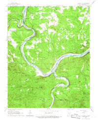 1966 Buffalo City1967 Print · USGSNorthern Arkansas river life and rail transport meet during the mid-sixties at the confluence of the Buffalo River and White River. Genealogists and historians can trace the Missouri Pacific rail line to Buffalo City and locate local landmarks like Nelson Cem and Old Buffalo.3 unique versions available
 - 1966 Map of Yellville, 1967 Print
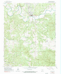 1966 Yellville1967 Print · USGSMarion County life in the mid-sixties centered around the confluence of the Missouri Pacific rail line and the winding Crooked Creek. Genealogists can trace local roots through several family sites including Wickersham Cem and Nanny Cem, or locate rural landmarks like Shawnee Cave.2 unique versions available
 - 1966 Map of Mountain Home West, 1967 Print
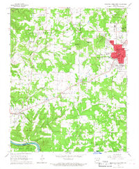 1966 Mountain Home West1967 Print · USGSThe Ozark plateau around Mountain Home and Gassville is captured here during a period of steady mid-century growth. Genealogists and local historians can trace rural family sites like Pilgrims Rest Cem, Monkey Run, and the Hopewell Ch.2 unique versions available
 - 1966 Map of Rea Valley, 1967 Print
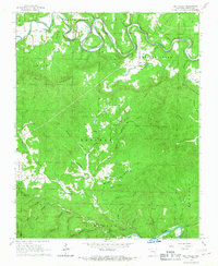 1966 Rea Valley1967 Print · USGSMarion County topography in the mid-sixties reveals a landscape defined by the winding White River and deep Ozark hollows. Researchers can locate the Rush Mine, trace the community at Rea Valley, and find local landmarks like Wares Chapel.3 unique versions available
 - 1966 Map of Maumee, 1967 Print
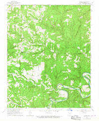 1966 Maumee1967 Print · USGSThe Buffalo River valley in the mid-1960s reveals a landscape of deep hollows and family homesteads along the Marion and Searcy county line. Trace local history through landmarks like the Tomahawk Ch, Burns Cem, and an Old RR Grade.3 unique versions available
 - 1967 Map of Bruno, 1968 Print
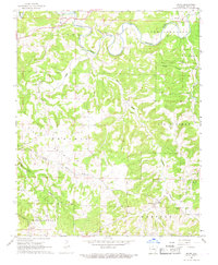 1967 Bruno1968 Print · USGSMarion County's rural uplands are captured here in the late sixties, showing a landscape of scattered homesteads and creek-side settlements. Genealogists and local researchers can locate family landmarks like Patton Cem and Hall Cem, or trace the old rail stops at Pyatt and Comal.2 unique versions available
 - 1967 Map of St. Joe, 1968 Print
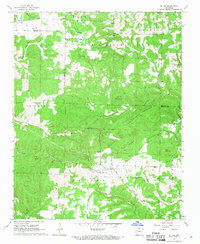 1967 St. Joe1968 Print · USGSSearcy County communities and the high plateaus of the Ozarks are captured here in the late sixties. Genealogists and hikers can trace the Old Railroad Grade near St Joe or locate family sites at Henley Cem and Anderson Flat Ch.2 unique versions available
 - 1967 Map of Everton, 1968 Print
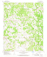 1967 Everton1968 Print · USGSEverton and the surrounding Boone County highlands are captured here in the late sixties as traditional agriculture and rural settlements shaped the landscape. Genealogists and historians can trace numerous family burial grounds and community hubs including Rally Hill, Olvey Ch, and the Old Railroad Grade.2 unique versions available
 - 1967 Map of Western Grove, 1968 Print
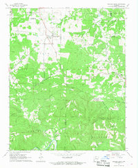 1967 Western Grove1968 Print · USGSThe northern Arkansas Ozarks appear here in the late sixties, where the boundaries of four counties meet along the winding Buffalo River. Researchers can trace the lineage of rural communities through sites like Western Grove, the Old Railroad Grade, and several family burial grounds including Trammell Cem.2 unique versions available
 - 1972 Map of Cotter SW, 1973 Print
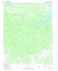 1972 Cotter SW1973 Print · USGSThe settlement of Summit and the irregular shoreline of Bull Shoals Lake define this Marion County landscape during the early 1970s. Genealogists and historians can locate remote landmarks like the Onwata Mine, Mtn View Cem, and Welcome Ridge Ch.2 unique versions available
 - 1972 Map of Bull Shoals, 1973 Print
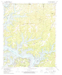 1972 Bull Shoals1973 Print · USGSThe Ozark borderlands in the early 1970s reveal a landscape shaped by the White River and the growth of lakeside communities. Researchers can trace local heritage through landmarks like Newton Flat Cemetery, Oakland School, and the Bull Shoals Caverns.3 unique versions available
 - 1972 Map of Cotter NW, 1973 Print
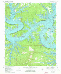 1972 Cotter NW1973 Print · USGSThe Ozark borderlands in the early seventies reveal a landscape transformed by the waters of Bull Shoals Lake. Researchers can trace old resource-heavy landmarks like Stave Mill Hollow and Coal Pit Hollow alongside the settlements of Linley and Midway.2 unique versions available
 - 1972 Map of Cotter, 1973 Print
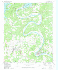 1972 Cotter1973 Print · USGSThe White River valley in the early seventies shows a landscape shaped by both the massive Bull Shoals Dam and the Missouri Pacific rail line. Researchers can locate family landmarks like Burch Cem, Antioch Ch, and the old McBee Landing.3 unique versions available
 - 1972 Map of Diamond City, 1973 Print
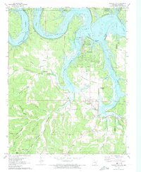 1972 Diamond City1973 Print · USGSDiamond City and Lead Hill sat at the edge of the rising Bull Shoals Lake in the early seventies as the local economy transitioned to recreation. Genealogists can locate numerous rural family burial sites like Pickard Cem or Raley Cem and trace the original Lead Mine workings.
 - 1972 Map of Zinc, 1973 Print
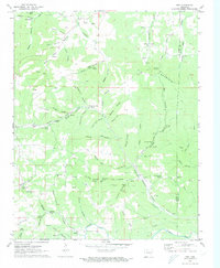 1972 Zinc1973 Print · USGSBoone and Marion counties in the early 1970s reveal a landscape of hollows and ridges shaped by the Missouri Pacific railroad. Genealogists and historians can trace the community of Zinc, early church sites like White Oak Ch, and old mining operations including the Jackpot Mine.
Showing maps 1-25 of 34
Top cities of Marion County
- Bull Shoals historical maps
- Yellville historical maps
- Flippin historical maps
- Summit historical maps
- Pyatt historical maps
Frequently asked questions
- What are the different types of historical maps available for Marion County?
- What is the oldest map of Marion County?
- Where can I purchase historical maps of Marion County for my home or office?
- Where can I download high-res historical maps of Marion County?
- Are there historical topographic maps available for Marion County?
- Is there historical aerial imagery available for Marion County?
- Where are historical maps of Marion County sourced from?