2020s Maps of Marion County, Arkansas
Explore 38 historic maps of Marion County from the 2020s. These maps offer a rare glimpse into what life looked like during the 2020s — showing old roads, neighborhoods, homes, and landmarks that have changed or disappeared over time.
Whether you're researching your family's past, planning a metal detecting trip, or studying how Marion County's landscape evolved across the 2020s, these high-resolution maps are a powerful tool for exploring the history of this region.
- Focus on a specific era: All maps on this page are from the 2020s, giving you a focused view of this time period.
- See what’s changed: Compare century-old streets, trails, and buildings to today's modern landscape using overlays and satellite layers.
- Research with precision: Use these maps for genealogy, historical research, land use analysis, or educational projects.
- View, download, or print: Maps are fully viewable online in high resolution, and can be downloaded or printed for your own records.
Start exploring Marion County's history through authentic maps from the 2020s. This is your window into the past.
Marion County, AR maps
(38)- 2020 Map of Yellville, 2020 Print
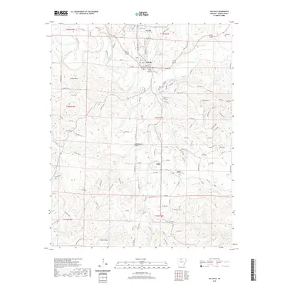 2020 Yellville2020 Print · USGSYellville and its surrounding Marion County communities are mapped here during the early twenty-first century. Genealogists and historians can locate numerous family burial sites, including Wickersham Cem, and trace landmarks like the Marion County Courthouse or Ralph Natural Bridge.
 - 2020 Map of Buffalo City, 2020 Print
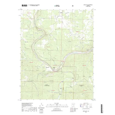 2020 Buffalo City2020 Print · USGSThe confluence of the White and Buffalo Rivers in north-central Arkansas was a vital corridor for travel and settlement in the early twenty-first century. Genealogists can trace family footprints at Nelson Cem or explore historic river sites like Old Buffalo and Buffalo City.
 - 2020 Map of Bruno, 2020 Print
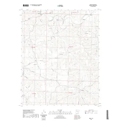 2020 Bruno2020 Print · USGSMarion County in the late 2010s remains a landscape of quiet upland settlements and spring-fed hollows. Genealogists and historians can trace family land near Pyatt and Bruno, or locate ancestral burial sites at Patton Cem and Hall Cem.
 - 2020 Map of Diamond City, 2020 Print
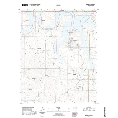 2020 Diamond City2020 Print · USGSThe Ozark shorelines of Boone County are captured here in the modern era, centered on the residential growth of Diamond City and Lead Hill. Researchers can trace local heritage through several burial sites like Pickard Cem and Foresee Cem.
 - 2020 Map of Everton, 2020 Print
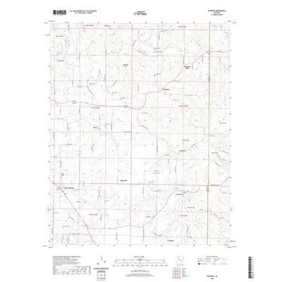 2020 Everton2020 Print · USGSBoone and Marion County communities are documented here as they appeared in 2020, showing a landscape shaped by rural agriculture and deep family roots. Genealogists can locate numerous small burial sites like Hog Creek Cem and Newton Cem near the settlements of Everton and Valley Springs.
 - 2020 Map of Maumee, 2020 Print
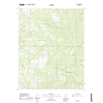 2020 Maumee2020 Print · USGSThe Buffalo River corridor in Searcy County is preserved here in the early twenty-first century, showing a landscape defined by deep hollows and old river-grade transport. Trace local genealogy and land use at Tomahawk, the Missouri And Arkansas Railroad Grade, and Copper Mine Hollow.
 - 2020 Map of Cotter SW, 2020 Print
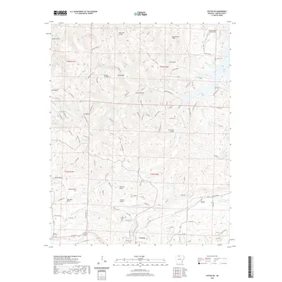 2020 Cotter SW2020 Print · USGSMarion County at the start of the 2020s shows a landscape of deep Ozark hollows and ridge-top settlements. Genealogists can trace family roots at Georges Creek Cemetery or Mountain View Cemetery and locate sites like The Rock House.
 - 2020 Map of Saint Joe, 2020 Print
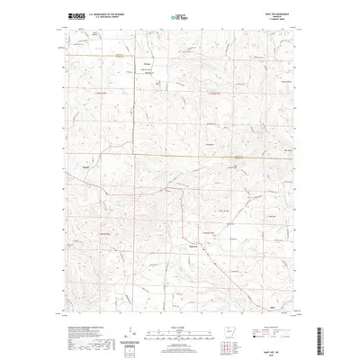 2020 Saint Joe2020 Print · USGSSearcy and Marion counties meet in this modern survey of the Arkansas Ozarks as the area appeared in 2020. Local researchers can locate historic burial sites like Henley Cem, trace the course of Tomahawk Cr, or find family landmarks such as Davy Crockett Mtn.
 - 2020 Map of Cozahome, 2020 Print
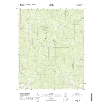 2020 Cozahome2020 Print · USGSThe Buffalo River corridor in northern Arkansas remains a focus of local history and recreation at the start of the 2020s. Genealogists and hikers can trace the paths to Indian Rockhouse or locate family sites at DeSoto Cem and Rock Creek Cem.
 - 2020 Map of Cotter NW, 2020 Print
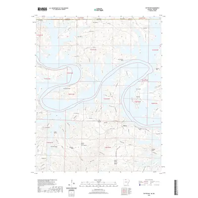 2020 Cotter NW2020 Print · USGSMidway and the surrounding Ozark highlands are shown here during the late twenty-teens, where the rugged terrain meets the waters of Bull Shoals Lake. Genealogists and hikers can trace family-named landmarks like Carver Hollow, Linley Ridge, and Tie-Chute Bluff.
 - 2020 Map of Bull Shoals, 2020 Print
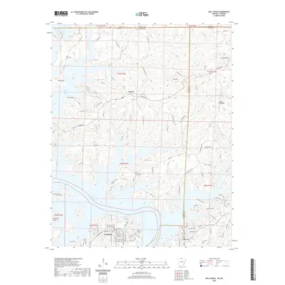 2020 Bull Shoals2020 Print · USGSThe Arkansas Ozarks meet the Missouri border in this detailed view of the winding shoreline of Bull Shoals Lake. Researchers can trace local history through family sites like Price Place Cem and settlements such as Oakland and Lakeview.
 - 2020 Map of Cotter, 2020 Print
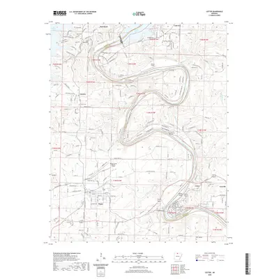 2020 Cotter2020 Print · USGSMarion and Baxter Counties at the turn of the 21st century center on the winding White River and its aviation-linked communities. Trace local history through numerous sites like Flippin Cemetery or the iconic Cotter Bridge crossing near Gassville.
 - 2020 Map of Pyatt, 2020 Print
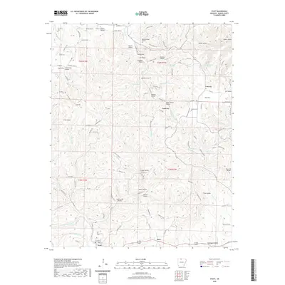 2020 Pyatt2020 Print · USGSMarion County's Ozark highlands are captured here in the 2020s, showing a landscape shaped by narrow hollows and high ridges. Researchers can locate remote burial sites like Jaybird Cem and trace the drainage of Little Sugar Cr near Dodd City.
 - 2020 Map of Peel, 2020 Print
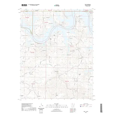 2020 Peel2020 Print · USGSThe Arkansas-Missouri borderlands come to life in this detailed survey of the Bull Shoals Lake region during the late twenty-teens. Researchers can trace ancestral roots at Peel Cem and Locust Cem or locate old homesteads near Monarch and Japanese Knob.
 - 2020 Map of Big Flat, 2020 Print
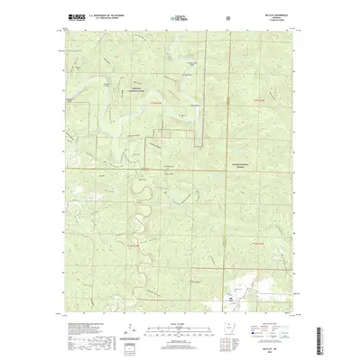 2020 Big Flat2020 Print · USGSThe rugged Ozark interior comes into focus here, showing the settlement of Big Flat on the tri-county border during the early twenty-first century. Family history researchers can locate several remote burial sites including Hepsey Cemetery and Woodcock Cemetery among the many hollows.
 - 2020 Map of Zinc, 2020 Print
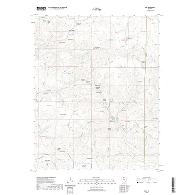 2020 Zinc2020 Print · USGSThe northern Arkansas hills between Bergman and Zinc are documented here in the early twenty-first century. Genealogists can trace family footprints through sites like Jackson Cem, Richardson Cem, and the historic drainage of Sugar Orchard Cr.
 - 2020 Map of Rea Valley, 2020 Print
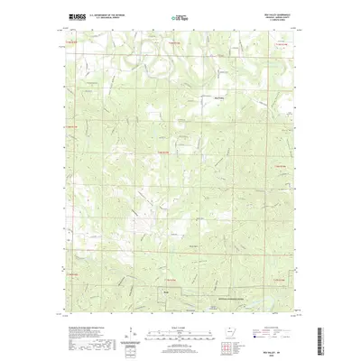 2020 Rea Valley2020 Print · USGSMarion County at the start of the 2020s shows a landscape defined by the Buffalo National River and its rugged tributary hollows. Researchers can trace historic settlements like Rush or locate family burial sites such as Hand Valley Cem and Laffoon Cem.
 - 2020 Map of Mountain Home West, 2020 Print
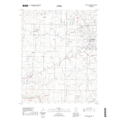 2020 Mountain Home West2020 Print · USGSMountain Home and Gassville appear at a time of continued growth in the Ozarks during the early twenty-first century. Researchers can locate family landmarks like Wesley Chapel Cem or trace the historic path of Old Military Rd near Colfax.
 - 2020 Map of Western Grove, 2020 Print
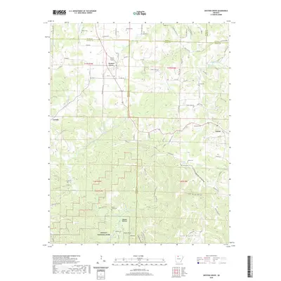 2020 Western Grove2020 Print · USGSThe Ozark plateau near the Boone and Newton county lines comes into focus in this recent survey. Local historians can trace family burial sites like Wilbourn Cem and Mount Hersey Cem or follow the waters of the Buffalo River through Pinhook Hollow.
 - 2024 Map of Everton, 2024 Print
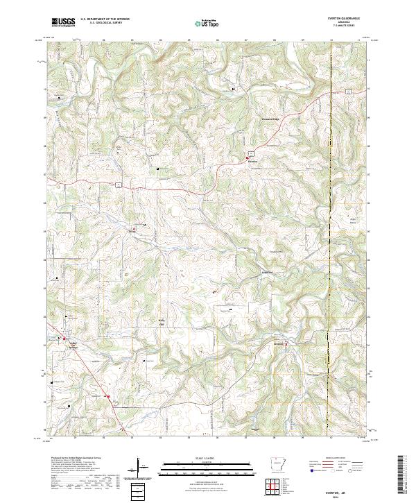 2024 Everton2024 Print · USGSThe Ozark foothills of Boone and Marion counties are mapped here in detail, showing a landscape of scattered settlements and family cemeteries. Genealogists can trace local history through sites like Valley Springs, Rally Hill, and Olvey Cem.
 - 2024 Map of Zinc, 2024 Print
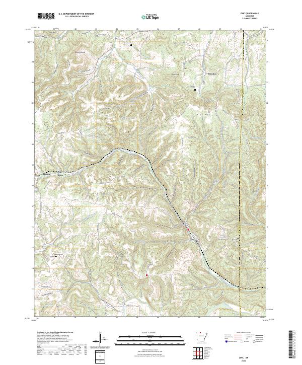 2024 Zinc2024 Print · USGSThe rural hills of Boone County are shown here in modern detail, where the historic mining legacies of Zinc and Bergman meet a landscape of deep hollows. Researchers can trace family history at the Richardson Cem or follow the waters of Sugar Orchard Creek.
 - 2024 Map of Western Grove, 2024 Print
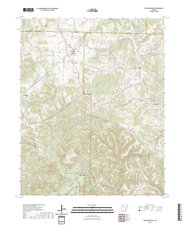 2024 Western Grove2024 Print · USGSNewton and Searcy counties are captured in the modern era as they border the Buffalo National River and its rugged valley. Genealogists can trace early homestead sites and family burials at Aydelotte Cem, Kilbum Cem, and the old settlement at Mount Hersey.
 - 2024 Map of Mountain Home West, 2024 Print
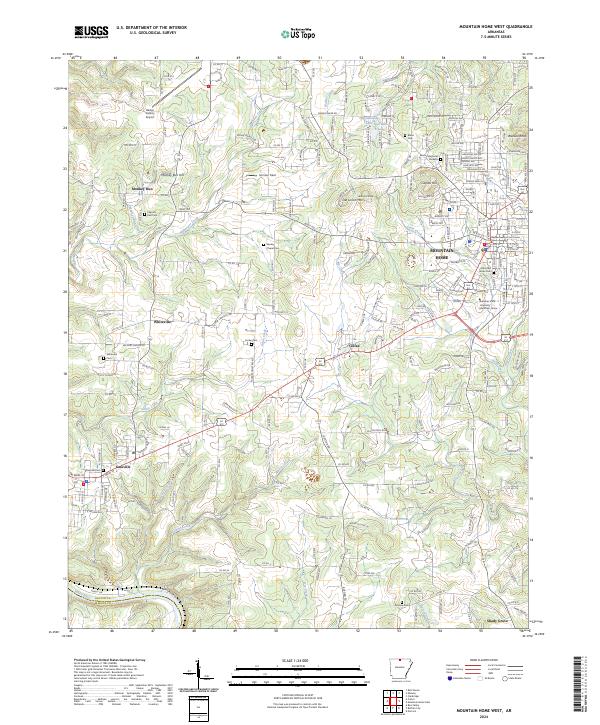 2024 Mountain Home West2024 Print · USGSBaxter County at the present day shows a blend of growing civic centers and quiet rural highlands. Researchers can trace the layout of MOUNTAIN HOME alongside older local landmarks like Monkey Run, Colfax, and the historic Old Military Rd.
 - 2024 Map of Yellville, 2024 Print
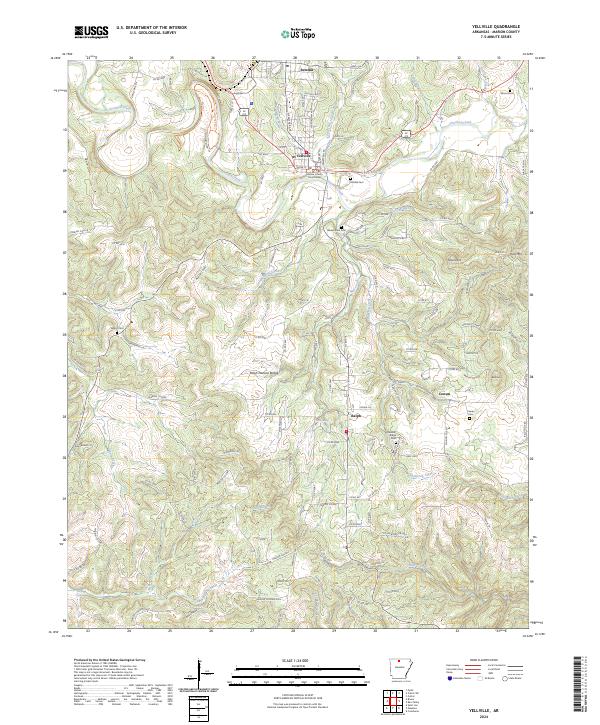 2024 Yellville2024 Print · USGSMarion County at the present day remains defined by the winding path of Crooked Creek and the administrative center at Yellville. Genealogists and historians can trace family roots through several local burial sites, including Cowan Cem, Wood Cem, and Pleasant Ridge Cem.
 - 2024 Map of Pyatt, 2024 Print
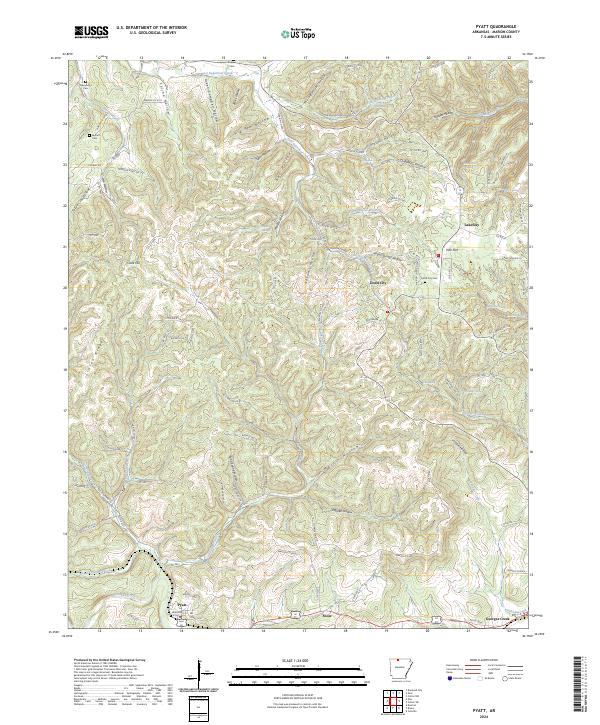 2024 Pyatt2024 Print · USGSMarion County's Ozark plateau is captured in the modern era, showing the deep-cut hollows and ridges that have shaped this region for generations. Researchers can locate family landmarks like Derryberry Cemetery or trace the drainage of Crooked Creek and Sugar Orchard Creek.
Showing maps 1-25 of 38
Top cities of Marion County
- Bull Shoals historical maps
- Yellville historical maps
- Flippin historical maps
- Summit historical maps
- Pyatt historical maps
Frequently asked questions
- What are the different types of historical maps available for Marion County?
- What is the oldest map of Marion County?
- Where can I purchase historical maps of Marion County for my home or office?
- Where can I download high-res historical maps of Marion County?
- Are there historical topographic maps available for Marion County?
- Is there historical aerial imagery available for Marion County?
- Where are historical maps of Marion County sourced from?