Old Maps of Nevada County, Arkansas for Metal Detecting
Plan your next treasure hunt with 118 historic maps of Nevada County. Find old homesites, ghost towns, trails, and gathering spots that may be lost to time — perfect for identifying promising metal detecting locations.
- Locate forgotten sites: Uncover places like long-lost settlements, abandoned rail lines, or gathering spots.
- Plan better hunts: Use map overlays combined with LiDAR or satellite views to narrow in on historically rich areas.
- Made for detectorists: Thousands of hobbyists use these maps to discover relics, coins, and hidden history.
Use these historic maps to boost your research and find new opportunities beneath the surface of Nevada County.
Nevada County, AR maps
(118)- 1901 Map of Gurdon
 1901 Gurdon1901 Print · USGSSouthwest Arkansas at the dawn of the twentieth century was a landscape defined by the arrival of the rails and the timber industry. Researchers can trace the development of early rail towns like Gurdon, Prescott, and Whelen Springs along the St. Louis Iron Mountain and Southern R. R.3 unique versions available
 - 1953 Map of El Dorado, 1967 Print
 1953 El Dorado1967 Print · USGSSouth Arkansas in the mid-1960s was a landscape of industrial growth and river-fed commerce. Researchers can trace the extensive Oil and Gas Fields around Magnolia, the expansive U S Naval Ammunition Depot, and the busy rail lines of the Missouri Pacific.3 unique versions available
 - 1957 Map of El Dorado
 1957 El Dorado1957 Print · USGSSouth Arkansas in the mid-1950s was a critical hub of military logistics and rail-river commerce. Genealogists and historians can trace family land across the Arkansas Louisiana border and locate sites like the U.S. Naval Ammunition Depot or the rail junctions at Magnolia and Camden.
 - 1958 Map of El Dorado
 1958 El Dorado1958 Print · USGSSouthern Arkansas and the Louisiana borderlands are shown during a period of heavy rail traffic and defense industry activity. Researchers can trace the legacy of the U. S. Naval Ammunition Depot or locate family roots in Smackover, Huttig, and Nashville.3 unique versions available
 - 1960 Map of El Dorado
 1960 El Dorado1960 Print · USGSSouth Central Arkansas in the late fifties was a hub of energy production and defense industry. Researchers can trace the extensive Oil and Gas Fields around El Dorado or locate family landmarks like Old Park Cem and New Hope Church.
 - 1968 Map of Lamartine, 1969 Print
 1968 Lamartine1969 Print · USGSColumbia and Nevada County rural life is captured here in the late sixties as the local oil industry operated alongside quiet crossroads. Genealogists can trace family landmarks and early settlements like Lamartine, Bethel, and the Willisville Oil Field.2 unique versions available
 - 1968 Map of Falcon, 1969 Print
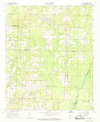 1968 Falcon1969 Print · USGSSouthwest Arkansas in the late sixties reveals a landscape where timber and agriculture met the energy boom. Genealogists and historians can trace community roots through Clevet Springs Ch, the Shiloh Lookout Tower, and the Falcon Cem.
 - 1969 Map of Stephens, 1971 Print
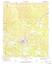 1969 Stephens1971 Print · USGSStephens and its surrounding oil fields are captured here during a peak era of petroleum production in southern Arkansas. Researchers can trace the rural network of St Louis Southwestern rail stops, local schools like Carver Sch, and several country churches including New Zion Hill Ch.3 unique versions available
 - 1969 Map of Magnolia NW, 1971 Print
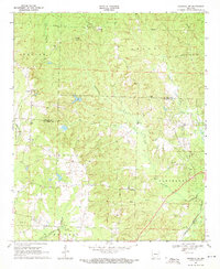 1969 Magnolia NW1971 Print · USGSColumbia County at the close of the sixties reveals a landscape of oil derricks and rural parishes. Genealogists can trace family roots through sites like Watts Cem, College Hill, and the St Matthews Ch.2 unique versions available
 - 1970 Map of Whelen Springs, 1972 Print
 1970 Whelen Springs1972 Print · USGSWhelen Springs and the rural townships of Clark County appear here in the early 1970s, as the Missouri Pacific railroad still anchored the river valley economy. Genealogists can trace family names through landmarks like Brown Cem, Sycamore Grove Ch, and the settlement at Cummings Springs.2 unique versions available
 - 1970 Map of Prescott East, 1972 Print
 1970 Prescott East1972 Print · USGSNevada County, Arkansas, is captured here in the early seventies as the railroad and river define the local landscape. Genealogists and historians can trace family locations near Providence Cem, Boughton, and the rural Moscow Ch.
 - 1970 Map of Reader, 1972 Print
 1970 Reader1972 Print · USGSThe Little Missouri River bottomlands and timber country are captured here in the early 1970s. Local researchers can trace family landmarks and rural life at Bethlehem Ch, the Lewis Randolph Grave, and the rail town of Reader.2 unique versions available
 - 1970 Map of Prescott West, 1972 Print
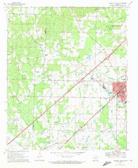 1970 Prescott West1972 Print · USGSNevada County enters the 1970s as a thriving rail hub and agricultural center at the junction of the Missouri Pacific. Researchers can trace local genealogy through numerous sites like Artesian Cem, Smyrna Cem, and the New Bethel Ch.2 unique versions available
 - 1970 Map of Okolona South, 1972 Print
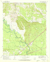 1970 Okolona South1972 Print · USGSSouthwestern Arkansas near the Clark and Nevada county line is captured here in the early 1970s. Researchers can trace the MISSOURI PACIFIC rail line between Okolona and Burtsell, or locate family sites at Rome Cem and St Clair Ch.
 - 1970 Map of Piney Grove, 1972 Print
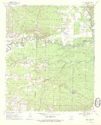 1970 Piney Grove1972 Print · USGSThe tri-county borderlands of Nevada, Hempstead, and Pike Counties are shown here in the early seventies as a network of river-bottom settlements and rural parishes. Genealogists can trace family landmarks and local history through Elizabeth Cem, Fairview Ch, and the small community at Piney Grove.2 unique versions available
 - 1972 Map of Gurdon, 1973 Print
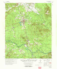 1972 Gurdon1973 Print · USGSSouthern Arkansas in the early seventies reveals a landscape of river-bottom sloughs, timbered ridges, and deep-seated rural communities. Genealogists and local researchers can trace family landmarks like Harts Chapel Cem, Whelen Springs, and the Lewis Randolph Grave.
 - 1973 Map of Bodcaw, 1975 Print
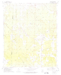 1973 Bodcaw1975 Print · USGSSouthwest Arkansas in the early 1970s shows a landscape of timber and oil production straddling the Hempstead and Nevada county line. Family historians can trace rural roots through numerous sites like Ebenezer Cem, Corinth Ch, and the industrial operations of the Bodcaw Oil Field.
 - 1973 Map of Chidester, 1975 Print
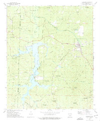 1973 Chidester1975 Print · USGSOuachita and Nevada counties are captured in the early 1970s, as the timberlands and recreation around White Oak Lake took shape. Researchers can locate community centers like Chidester and Good Hope, or trace family roots at Turner Cem and Mt Moriah Ch.
 - 1973 Map of Bluff City, 1975 Print
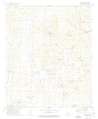 1973 Bluff City1975 Print · USGSSouth-central Arkansas forestry and rural life are captured here in the early 1970s. Researchers can locate family landmarks like Dills Mills and Barham, trace the Reader railroad, or find historic congregations at Ebenezer Ch and St Johns Ch.
 - 1973 Map of Willisville, 1975 Print
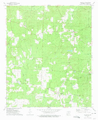 1973 Willisville1975 Print · USGSNevada County, Arkansas, appears here in the early seventies during a period of active petroleum production. Genealogists can locate family landmarks like Holly Springs Cem and Whites Chapel, or trace the legacy of the Irma Oil Field.
 - 1973 Map of Waterloo, 1975 Print
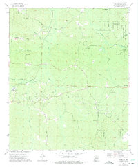 1973 Waterloo1975 Print · USGSThe timberlands and oil fields of southern Arkansas are captured here in the early seventies, during a peak period of regional energy production. Genealogists and historians can trace family sites at Barksdale Cem, Harrison Chapel, and the settlement of Waterloo.
 - 1973 Map of Troy, 1975 Print
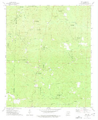 1973 Troy1975 Print · USGSThe Ouachita and Nevada county lines intersect in this forested Arkansas landscape during the early 1970s. Genealogists and historians can trace numerous rural congregations and burial sites, including Adams Chapel, Round Oak Cem, and the East Troy Oil Field.
 - 1973 Map of Laneburg, 1975 Print
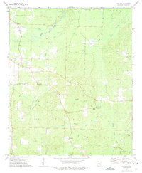 1973 Laneburg1975 Print · USGSNevada County, Arkansas, is captured here in the early seventies, showcasing a rural landscape defined by creek drainages and small community hubs. Local historians can trace family sites like Laneburg Cem, Westmoreland Cem, and the historic Washington Post Road.
 - 1973 Map of Emmet, 1975 Print
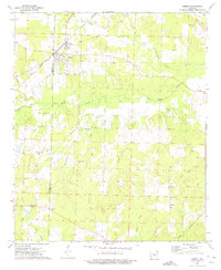 1973 Emmet1975 Print · USGSHempstead and Nevada Counties are captured here in the early 1970s, showing a landscape defined by small rural settlements and a network of creeks. You can trace family history through several local churches like Antioch Ch or explore the area around Sutton.
 - 1978 Map of Chidester
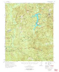 1978 Chidester1978 Print · USGSThe Poison Springs State Forest and the waters of White Oak Lake characterize this late-seventies landscape on the Nevada and Ouachita county line. Researchers can locate numerous rural landmarks like Dills Mills, Adams Chapel Cem, and Anthony Switch.
Showing maps 1-25 of 118
Top cities of Nevada County
- Prescott historical maps
- Emmet historical maps
- Rosston historical maps
- Willisville historical maps
- Bodcaw historical maps
- Bluff City historical maps
See more
Frequently asked questions
- What are the different types of historical maps available for Nevada County?
- What is the oldest map of Nevada County?
- Where can I purchase historical maps of Nevada County for my home or office?
- Where can I download high-res historical maps of Nevada County?
- Are there historical topographic maps available for Nevada County?
- Is there historical aerial imagery available for Nevada County?
- Where are historical maps of Nevada County sourced from?