2010s Maps of Nevada County, Arkansas
Explore 54 historic maps of Nevada County from the 2010s. These maps offer a rare glimpse into what life looked like during the 2010s — showing old roads, neighborhoods, homes, and landmarks that have changed or disappeared over time.
Whether you're researching your family's past, planning a metal detecting trip, or studying how Nevada County's landscape evolved across the 2010s, these high-resolution maps are a powerful tool for exploring the history of this region.
- Focus on a specific era: All maps on this page are from the 2010s, giving you a focused view of this time period.
- See what’s changed: Compare century-old streets, trails, and buildings to today's modern landscape using overlays and satellite layers.
- Research with precision: Use these maps for genealogy, historical research, land use analysis, or educational projects.
- View, download, or print: Maps are fully viewable online in high resolution, and can be downloaded or printed for your own records.
Start exploring Nevada County's history through authentic maps from the 2010s. This is your window into the past.
Nevada County, AR maps
(54)- 2011 Map of Troy, 2011 Print
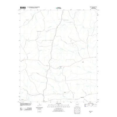 2011 Troy2011 Print · USGSSouthern Arkansas at the start of the 2010s reveals a quiet landscape of bayous and petroleum production. Genealogists and local historians can trace family locations near the East Troy Oil Field or burial sites at Adams Chapel Cemetery and Zion Hill Cemetery.
 - 2011 Map of Magnolia NW, 2011 Print
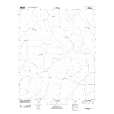 2011 Magnolia NW2011 Print · USGSColumbia County at the start of the 2010s was a landscape defined by oil fields and timbered creek bottoms. Researchers can trace family history through sites like Watts Cemetery and the Glenville Lookout Tower or locate the North Stephens Oil and Gas Field.
 - 2011 Map of Chidester, 2011 Print
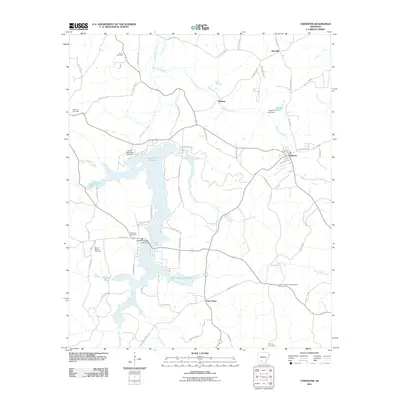 2011 Chidester2011 Print · USGSThe rural landscapes of Ouachita County are captured here in the early twenty-first century, centered on the dual basins of the White Oak Lakes. You can trace family roots at Mount Moriah Cemetery and Purifoy Cemetery or locate old sites near Chidester and Good Hope.
 - 2011 Map of Bodcaw, 2011 Print
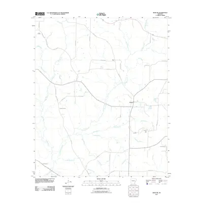 2011 Bodcaw2011 Print · USGSBodcaw and the surrounding Nevada County backcountry are documented here in the early twenty-first century. Genealogists and researchers can locate several rural landmarks including Bodcaw Oil Field, Ebenezer Cemetery, and Corinth Cemetery.
 - 2011 Map of Laneburg, 2011 Print
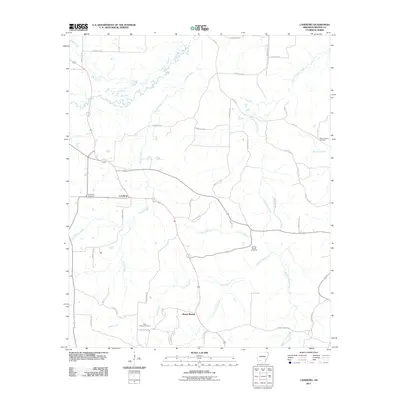 2011 Laneburg2011 Print · USGSNevada County's timberlands and rural communities are captured here in the early twenty-first century. Genealogists and researchers can trace the locations of family landmarks such as Bluff Springs Cemetery, Mount Moriah, and Laneburg Cemetery.
 - 2011 Map of Prescott East, 2011 Print
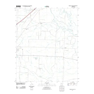 2011 Prescott East2011 Print · USGSNevada County, Arkansas, appears in the early 2010s as a landscape of rural cemeteries and riparian corridors along the Little Missouri River. Genealogists and local historians can locate family-named landmarks like Buchanan Cemetery and the community of Boughton.
 - 2011 Map of Whelen Springs, 2011 Print
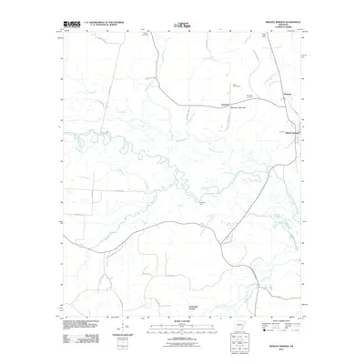 2011 Whelen Springs2011 Print · USGSThe Clark County bottomlands come alive in this early twenty-first-century survey of the river country near Whelen Springs. Researchers can trace old family burial grounds like Rose Hill Cemetery and historic river crossings such as McNeeley Ford.
 - 2011 Map of Piney Grove, 2011 Print
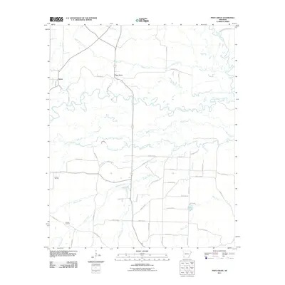 2011 Piney Grove2011 Print · USGSPike County's rural river valleys are shown in detail here just after the turn of the century. Genealogists and local historians can trace family land near Piney Grove or locate the quiet grounds of Ebenezer Cemetery and Elizabeth Cemetery.
 - 2011 Map of Emmet, 2011 Print
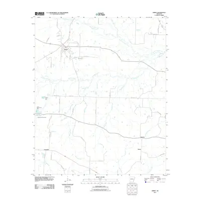 2011 Emmet2011 Print · USGSEmmet and the surrounding Nevada County countryside are shown in detail during the early twenty-first century. Researchers can trace rural settlement patterns near Snell Cemetery or follow the paths of Terre Rouge Creek and Little Bodcau Creek.
 - 2011 Map of Waterloo, 2011 Print
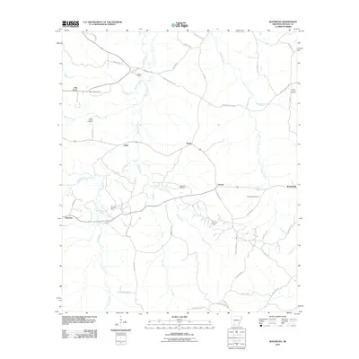 2011 Waterloo2011 Print · USGSNevada County's rural oil-producing landscape is captured here in the early 2010s, showing the intersection of industry and local history. Researchers can locate family landmarks like Rocky Mound Cemetery and trace the paths of Dry Fork and Caney Creek near Waterloo.
 - 2011 Map of Stephens, 2011 Print
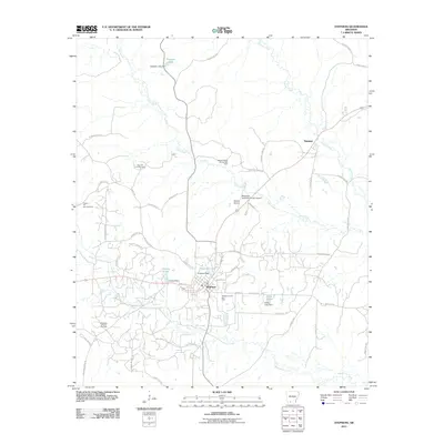 2011 Stephens2011 Print · USGSStephens and Ogemaw anchor this southern Arkansas landscape during a period of steady energy production and local aviation growth. Researchers can trace the extensive footprints of the Stephens Oil and Gas Field and landmarks like Graysons Lake.
 - 2011 Map of Bluff City, 2011 Print
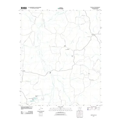 2011 Bluff City2011 Print · USGSBluff City and the surrounding Nevada County woodlands are documented here during the early twenty-first century. Genealogists and local researchers can locate family sites such as Gulley Cemetery, Saint Johns Cemetery, and the crossroads at Gum Grove.
 - 2011 Map of Prescott West, 2011 Print
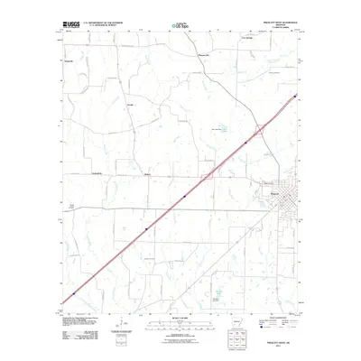 2011 Prescott West2011 Print · USGSThe city of Prescott and its rural western surroundings are captured here in the early twenty-first century. Genealogists can trace burial grounds at Smyrna Cemetery and DeAnn Cemetery or explore small settlements like Arcadia and Midway.
 - 2011 Map of Okolona South, 2011 Print
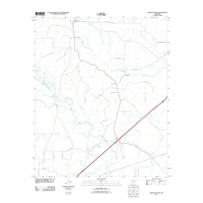 2011 Okolona South2011 Print · USGSOkolona and Burtsell sit amidst the river-bottoms and creek flats of Clark County during the early twenty-first century. Genealogists can trace family heritage through the sites of the Okolona Cemetery, Old Rome Cemetery, and the banks of the Little Missouri River.
 - 2011 Map of Falcon, 2011 Print
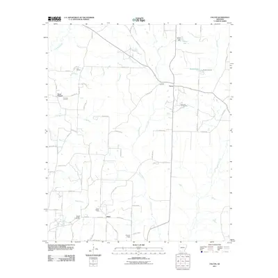 2011 Falcon2011 Print · USGSShiloh and Falcon are depicted here in the early twenty-first century as centers of Arkansas oil and gas production. Genealogists and researchers can trace family landmarks like Clark Cemetery, Cummings Cemetery, and the Shiloh Lookout Tower.
 - 2011 Map of Willisville, 2011 Print
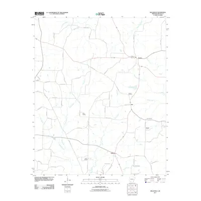 2011 Willisville2011 Print · USGSNevada County, Arkansas, is captured here in the early twenty-first century as a region of timber, oil, and small rural communities. Local historians can trace the West Willisville Oil Field and historic routes like Old Military Rd alongside family sites at Holly Springs Cemetery.
 - 2011 Map of Reader, 2011 Print
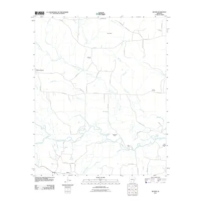 2011 Reader2011 Print · USGSThe timberlands and river bottoms of Clark County are captured here in the early twenty-first century. Genealogists and local historians can trace family landmarks and river crossings such as Bethlehem Cemetery, Jenkins Cemetery, and Riffe Ford along the Little Missouri River.
 - 2011 Map of Lamartine, 2011 Print
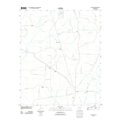 2011 Lamartine2011 Print · USGSColumbia County is shown during a period of steady rural character, where small settlements like Stockton and Bethel anchor the landscape. Researchers can trace family sites near Shiloh Cemetery or explore the reach of the Willisville Oil Field.
 - 2014 Map of Prescott West, 2014 Print
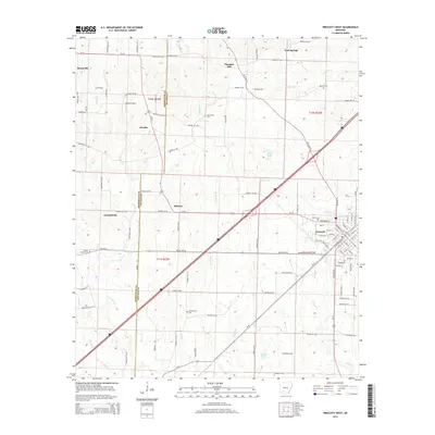 2014 Prescott West2014 Print · USGSPrescott and the surrounding Nevada County crossroads come into focus during this mid-2010s period of rural Arkansas history. Researchers can trace ancestral roots through numerous local burial sites like Beards Chapel Cem, Deann Cem, and the rural community of Arcadia.
 - 2014 Map of Troy, 2014 Print
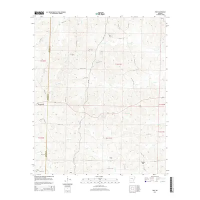 2014 Troy2014 Print · USGSThe rural Arkansas piney woods along the Nevada and Ouachita county line appear here in the early twenty-first century. Genealogists can locate several family and community landmarks, including Adams Chapel Cemetery, Zion Hill Cemetery, and the East Troy Oil Field.
 - 2014 Map of Laneburg, 2014 Print
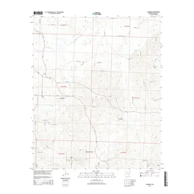 2014 Laneburg2014 Print · USGSNevada County, Arkansas, remains a quiet landscape of timberlands and small rural junctions in the early twenty-first century. Researchers can trace family sites and local landmarks like Serepta Spring Cemetery, Laneburg, and the waters of Terre Rouge Creek.
 - 2014 Map of Reader, 2014 Print
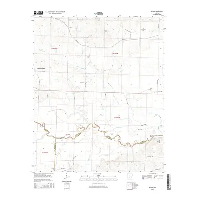 2014 Reader2014 Print · USGSThis southwestern Arkansas landscape at the meeting of three counties follows the winding Little Missouri River valley. Genealogists and historians can locate rural burial sites like the Lewis Randolph Grave and trace the river economy near Reader and Whelen Springs.
 - 2014 Map of Falcon, 2014 Print
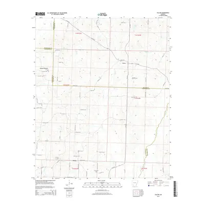 2014 Falcon2014 Print · USGSSouthern Arkansas timber and oil country comes into focus in this recent survey of the Four-County border region. Genealogists and local historians can trace family ties through Clark Cem and Falcon Cem, or locate landmarks like the Shiloh Lookout Tower and Falcon Oil and Gas Field.
 - 2014 Map of Stephens, 2014 Print
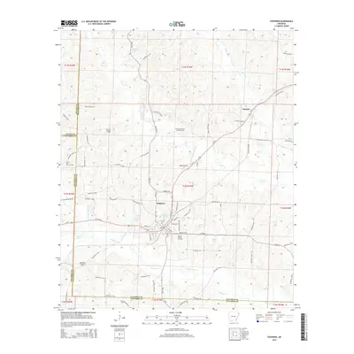 2014 Stephens2014 Print · USGSThe oil-rich landscape of southern Arkansas is captured here in the early twenty-first century, centered on the intersection of industry and rural life. Genealogists and historians can trace the roads around Stephens and Ogemaw or locate industrial sites like the Stephens Oil and Gas Field and Wilson Airport.
 - 2014 Map of Okolona South, 2014 Print
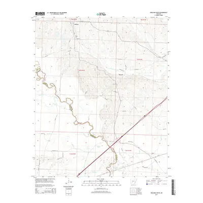 2014 Okolona South2014 Print · USGSThe community of Okolona and the surrounding river bottoms are documented in this early twenty-first-century survey. Genealogists and historians can trace the locations of the Okolona Cem, the settlement at Burtsell, and the wetlands of the Little Missouri River.
Showing maps 1-25 of 54
Top cities of Nevada County
- Prescott historical maps
- Emmet historical maps
- Rosston historical maps
- Willisville historical maps
- Bodcaw historical maps
- Bluff City historical maps
See more
Frequently asked questions
- What are the different types of historical maps available for Nevada County?
- What is the oldest map of Nevada County?
- Where can I purchase historical maps of Nevada County for my home or office?
- Where can I download high-res historical maps of Nevada County?
- Are there historical topographic maps available for Nevada County?
- Is there historical aerial imagery available for Nevada County?
- Where are historical maps of Nevada County sourced from?