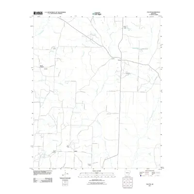
2011 Map of Falcon
USGS Topo · Published 2011About this map
Shiloh and Falcon anchor this section of Lafayette County, where the landscape is defined by a network of creeks and active energy production. The area is marked by several oil and gas operations, including the Falcon Oil and Gas Field, Stamps Oil and Gas Field, and Shiloh Oil and Gas Field, indicating a local economy tied to subsurface resources. Cultural landmarks like the Shiloh Lookout Tower and multiple burial grounds such as Clark Cemetery and Falcon Cemetery provide specific points of interest for genealogists and local historians.
Find a feature on this map
72 named features on this map. Tap any name to fly to it.
Don’t see what you’re looking for? This feature index may not catch every label — zoom into the map to look around manually.
Map Details
Editions of this 2011 Falcon Map
This is the sole edition of this map. No revisions or reprints were ever made.
Other maps of this area

1901 · Gurdon
USGS Topo · 1:125,000

1951 · Patmos
USGS Topo · 1:24,000

1952 · Old Town
USGS Topo · 1:24,000

1952 · Lewisville
USGS Topo · 1:24,000

1953 · El Dorado
USGS Topo · 1:250,000

1957 · El Dorado
USGS Topo · 1:250,000

1958 · El Dorado
USGS Topo · 1:250,000

1960 · El Dorado
USGS Topo · 1:250,000

1968 · Buckner
USGS Topo · 1:24,000

1968 · Lamartine
USGS Topo · 1:24,000