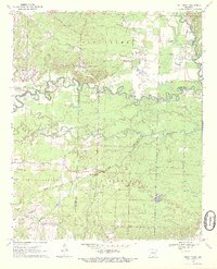
1970 Map of Piney Grove
USGS Topo · Published 1972About this map
The Little Missouri River meanders sharply across this rural landscape at the convergence of Nevada, Hempstead, and Pike Counties. During the early 1970s, this area remained largely defined by small scattered settlements and rural gathering places like Piney Grove and Bowen. The map reveals a high density of country churches and burial grounds that anchored these local communities, including Bethel Ch, St Thomas Ch, and Ebenezer Cem.
Find a feature on this map
32 named features on this map. Tap any name to fly to it.
Don’t see what you’re looking for? This feature index may not catch every label — zoom into the map to look around manually.
Map Details
Editions of this 1970 Piney Grove Map
2 editions found
Other maps of this area

1901 · Gurdon
USGS Topo · 1:125,000

1906 · Caddo Gap
USGS Topo · 1:125,000

1943 · Antoine
USGS Topo · 1:62,500

1951 · Blevins
USGS Topo · 1:24,000

1951 · Pisgah
USGS Topo · 1:24,000

1953 · El Dorado
USGS Topo · 1:250,000

1955 · Little Rock
USGS Topo · 1:250,000

1956 · Little Rock
USGS Topo · 1:250,000

1957 · El Dorado
USGS Topo · 1:250,000

1958 · El Dorado
USGS Topo · 1:250,000