
1943 Map of Antoine
USGS Topo · Published 1943About this map
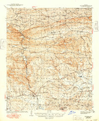
Alpine Mountain and Chalybeate Mountain dominate the northern landscape of this region, where the Antoine River winds through the central valley. Small rural communities and family-named settlements like Meeks Settlement and Haretown are connected by a network of named routes such as Military Road and Golden Trail. The timber and transport economy of the era is evident through features like Kathleen Siding along the Missouri Pacific railroad and a Fire Tower overlooking the State Game Preserve.
Find a feature on this map
89 named features on this map. Tap any name to fly to it.
Don’t see what you’re looking for? This feature index may not catch every label — zoom into the map to look around manually.
Map Details
Editions of this 1943 Antoine Map
3 editions found
Other maps of this area

1901 · Gurdon
USGS Topo · 1:125,000

1906 · Caddo Gap
USGS Topo · 1:125,000

1936 · Glenwood
USGS Topo · 1:48,000

1942 · Glenwood
USGS Topo · 1:62,500

1949 · Glenwood
USGS Topo · 1:62,500

1951 · Pisgah
USGS Topo · 1:24,000

1953 · El Dorado
USGS Topo · 1:250,000

1955 · Little Rock
USGS Topo · 1:250,000

1956 · Little Rock
USGS Topo · 1:250,000

1957 · El Dorado
USGS Topo · 1:250,000