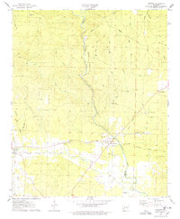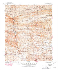
1943 Map of Antoine
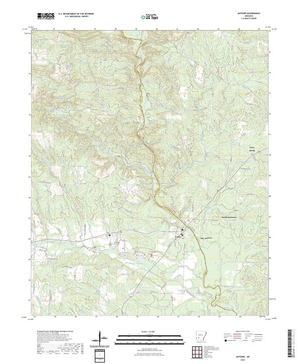
USGS Topo · Published 1981About this map
The Antoine River carves a path through the borderlands of Pike and Clark counties, defining a landscape of timbered hills and scattered rural communities in the early 1940s. The Missouri Pacific railroad serves as a critical corridor for the region, passing through the town of Antoine and connecting smaller locales like Pike Junction and Kathleen Siding. This era reveals a densely settled countryside populated by numerous local institutions, including the Rosenwall Sch, Bethsaida Ch, and Smyrna Ch, which anchored the social life of surrounding farmsteads.
Find a feature on this map
81 named features on this map. Tap any name to fly to it.
Don’t see what you’re looking for? This feature index may not catch every label — zoom into the map to look around manually.
Map Details
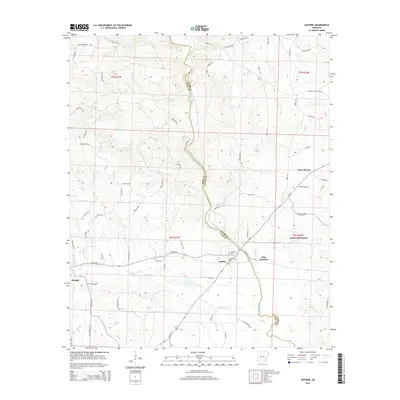
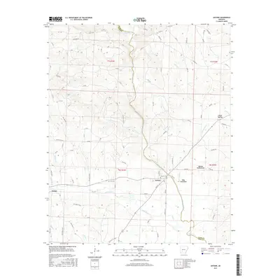
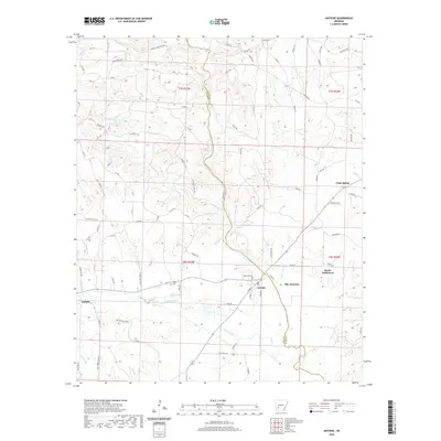
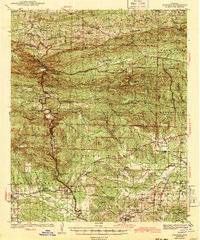
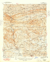
Editions of this 1943 Antoine Map
3 editions found
Historical Maps of Delight Through Time
7 maps found