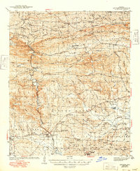
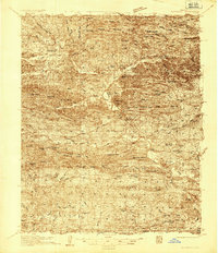
1943 Map of Antoine
USGS Topo · Published 1949About this map
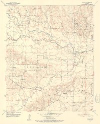
The Antoine River winds through the heart of this Arkansas landscape, carving a boundary between Pike and Clark counties during the early 1940s. The region is characterized by a dense network of small communities and family-centered landmarks, including Meeks Settlement and Davidson Camp. Infrastructure is defined by the Missouri Pacific railroad, which services specialized points like Kathleen Siding and Pike Junction, supporting the local economy alongside the Mine located near Twin Bridges.
Find a feature on this map
94 named features on this map. Tap any name to fly to it.
Don’t see what you’re looking for? This feature index may not catch every label — zoom into the map to look around manually.
Map Details
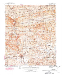
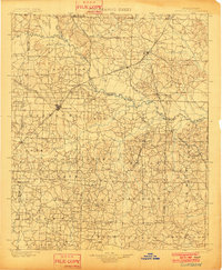
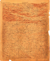
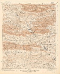
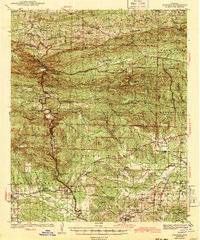
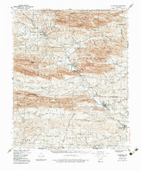
Editions of this 1943 Antoine Map
3 editions found
Other maps of this area
1901 · Gurdon
USGS Topo · 1:125,000
1906 · Caddo Gap
USGS Topo · 1:125,000
1936 · Glenwood
USGS Topo · 1:48,000
1942 · Glenwood
USGS Topo · 1:62,500
1943 · Antoine
USGS Topo · 1:62,500
1949 · Glenwood
USGS Topo · 1:62,500
1951 · Pisgah
USGS Topo · 1:24,000

1953 · El Dorado
USGS Topo · 1:250,000

1955 · Little Rock
USGS Topo · 1:250,000

1956 · Little Rock
USGS Topo · 1:250,000