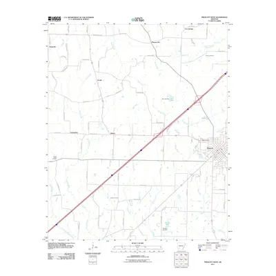
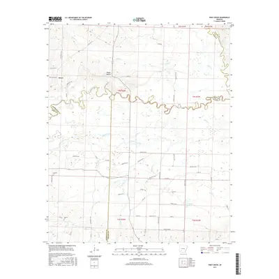
1970 Map of Piney Grove
USGS Topo · Published 1978About this map
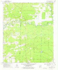
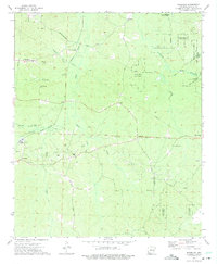
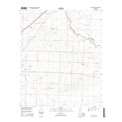
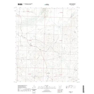
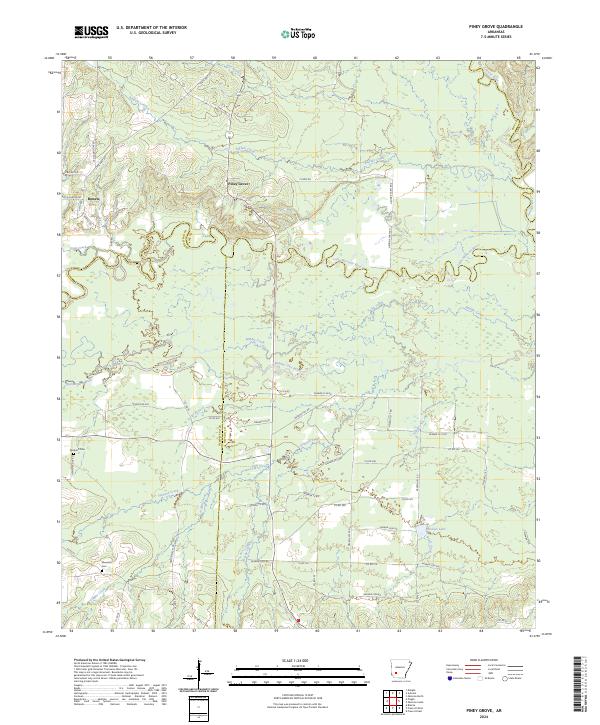
Piney Grove and Wallaceburg anchor this southwestern Arkansas landscape at the beginning of the 1970s, where the convergence of Pike, Hempstead, Nevada, and Clark counties defines the local geography. The winding Little Missouri River serpentines across the center of the sheet, joined by numerous tributaries including Wolf Creek, Number One Bayou, and Howard Creek. This riverine environment is marked by specialized features like a Gaging Sta and multiple flowing wells, indicating the importance of water management in the region.
Find a feature on this map
34 named features on this map. Tap any name to fly to it.
Don’t see what you’re looking for? This feature index may not catch every label — zoom into the map to look around manually.
Map Details
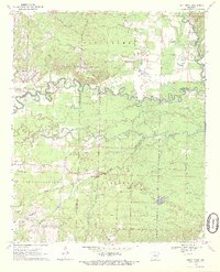
Editions of this 1970 Piney Grove Map
2 editions found
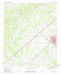
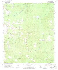
Historical Maps of Bowen Through Time
30 maps found
1970 Piney Grove
Nevada County, AR

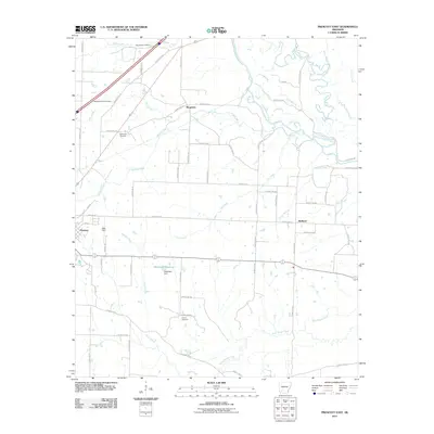
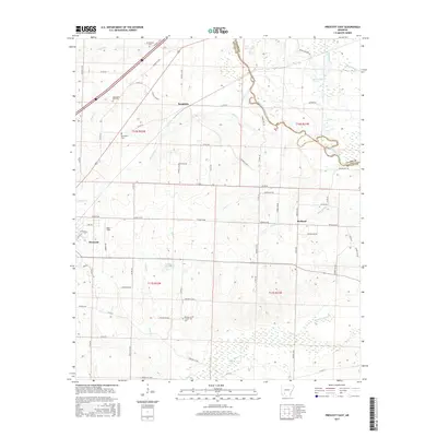
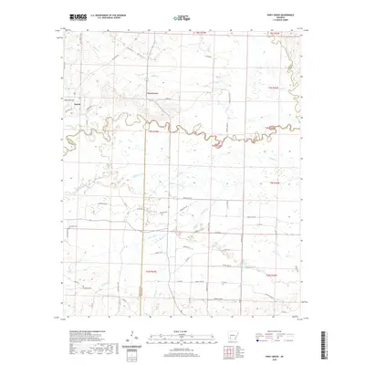
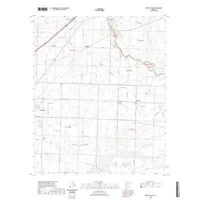
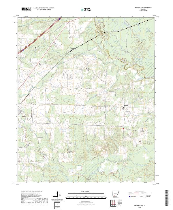
1970 Prescott East
Nevada County, AR
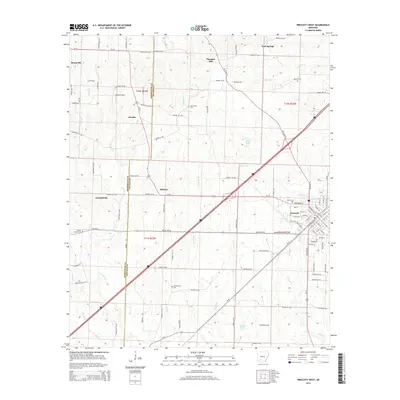
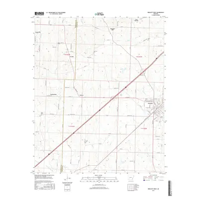
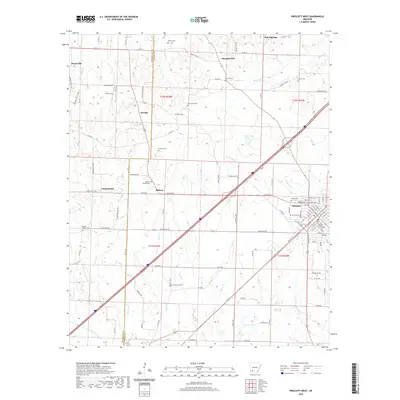
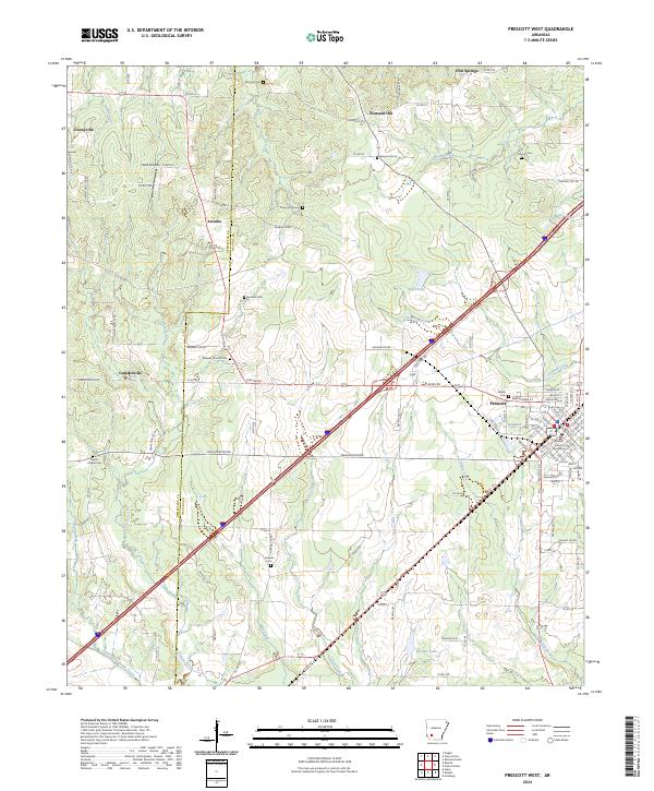
1970 Prescott West
Nevada County, AR
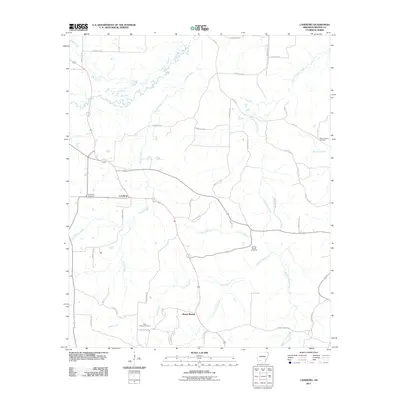
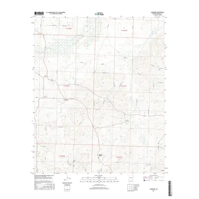
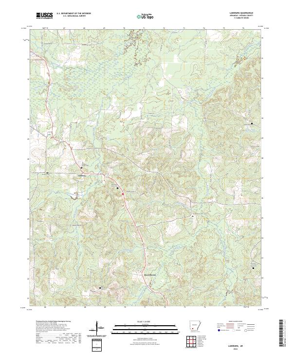
1973 Laneburg
Nevada County, AR
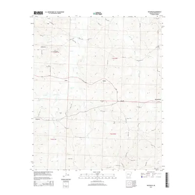
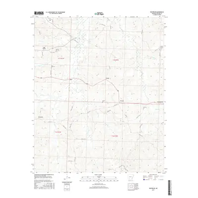
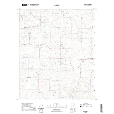
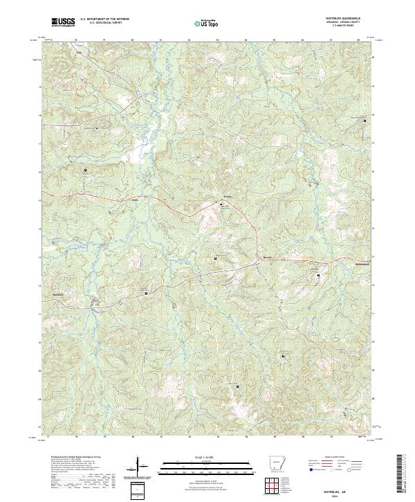
1973 Waterloo
Nevada County, AR
2011 Laneburg
Nevada County, AR
2011 Piney Grove
Nevada County, AR
2011 Prescott East
Nevada County, AR
2011 Prescott West
Nevada County, AR
2011 Waterloo
Nevada County, AR
2014 Laneburg
Nevada County, AR
2014 Piney Grove
Nevada County, AR
2014 Prescott East
Nevada County, AR
2014 Prescott West
Nevada County, AR
2014 Waterloo
Nevada County, AR
2017 Laneburg
Nevada County, AR
2017 Piney Grove
Nevada County, AR
2017 Prescott East
Nevada County, AR
2017 Prescott West
Nevada County, AR
2017 Waterloo
Nevada County, AR
2020 Laneburg
Nevada County, AR
2020 Piney Grove
Nevada County, AR
2020 Prescott East
Nevada County, AR
2020 Prescott West
Nevada County, AR
2020 Waterloo
Nevada County, AR
2024 Laneburg
Nevada County, AR
2024 Piney Grove
Nevada County, AR
2024 Prescott East
Nevada County, AR
2024 Prescott West
Nevada County, AR
2024 Waterloo
Nevada County, AR