Old Maps of Cypert, Arkansas for Hiking & Exploration
Hike through history with 17 historic maps of Cypert. Explore old trails, ghost towns, and forgotten backroads — perfect for outdoor adventurers and local explorers.
- Rediscover forgotten places: Map out old mining camps, roads, and footpaths that no longer exist on modern maps.
- Layer with modern tools: Combine with LiDAR or satellite views to plan hikes through historical terrain.
- Made for exploration: Popular among hikers, overlanders, and local history lovers.
Use these maps to find adventure and explore the hidden past of Cypert.
Cypert, AR maps
(17)- 1939 Map of Modoc, 1941 Print
 1939 Modoc1941 Print · USGSPhillips County sits at a crossroads of river and rail during the late 1930s, as the Delta landscape was shaped by flooding and the Missouri Pacific line. Genealogists can trace family roots at Mt Zion Ch Sch & Cem, Beach Tree Ch & Sch, and the old station at Hugo Sta.
 - 1948 Map of Helena
 1948 Helena1948 Print · USGSEastern Arkansas and the Mississippi Delta are captured here just after the war, showing a landscape defined by its great rivers and rail lines. Genealogists can trace family locations near Bemis Plantation, Helena, and smaller rail stops like Wheatley and Moro.
 - 1948 Map of Modoc, 1951 Print
 1948 Modoc1951 Print · USGSThe Arkansas delta of Phillips County is captured here just after the war, showing a landscape defined by the Mississippi River and the rail-side life of the Missouri Pacific. Genealogists can locate family names at St Peter Ch & Cem, the Rosenwald Sch, and the old Modoc settlement.3 unique versions available
 - 1950 Map of Helena
 1950 Helena1950 Print · USGSMid-century Phillips County and the surrounding Delta region are shown at a peak of rail and river commerce. Genealogists and historians can trace family locations through numerous rural communities like Old Austin, Cotton Plant, and West Helena, or follow the routes of the Missouri Pacific RR across Grand Prairie.2 unique versions available
 - 1955 Map of Helena, 1967 Print
 1955 Helena1967 Print · USGSThe Arkansas Delta and Mississippi floodplains are captured here in the mid-fifties, during a period of expanding flood control and rail commerce. Researchers can trace the extensive Chicago Rock Island and Pacific RR lines and locate sites like the Arkansas State College Experimental Rice Farm or Friars Point.2 unique versions available
 - 1959 Map of Helena
 1959 Helena1959 Print · USGSThe Arkansas and Mississippi Delta regions are captured here in the late fifties, showing a landscape defined by the Mississippi River and the Grand Prairie. Genealogists and researchers can trace the rail networks of the Illinois Central RR and locate community landmarks like Helena and the White River National Wildlife Refuge.
 - 1960 Map of Helena
 1960 Helena1960 Print · USGSThe Arkansas and Mississippi Delta regions meet along the great river bends during a period of significant agricultural and rail expansion. Genealogists and historians can trace the paths of the Missouri Pacific railroad through Clarendon or locate landings along the Mississippi River and White River.
 - 1963 Map of Modoc, 1966 Print
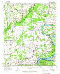 1963 Modoc1966 Print · USGSThe Arkansas Delta in the early sixties is captured here through its tight-knit rural communities and the shifting banks of the Mississippi River. Genealogists can trace the Rosenwald Sch and churches like Brooks Chapel or Old Jerusalem Ch.
 - 1964 Map of Modoc
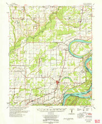 1964 Modoc1964 Print · USGSThe Arkansas Delta of the early sixties is shown here as a landscape of river-bend settlements and railroad spurs. Genealogists can locate family landmarks like the Rosenwald Sch, St Claire Ch, and small rail stops such as Ratio and Mary Spur.
 - 1982 Map of Watkins Corner
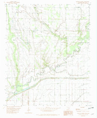 1982 Watkins Corner1982 Print · USGSPhillips County in the early eighties was a landscape of small Delta settlements and winding waterways. Researchers can locate the exact positions of Cypert, Kingtown, and Connells Point, alongside family landmarks like Taylor Cem and Mt Zion Ch.
 - 1984 Map of Clarksdale, 1985 Print
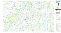 1984 Clarksdale1985 Print · USGSThe Mississippi Delta in the 1980s shows a landscape defined by its great river meanders and a dense network of bayous and rail lines. Researchers can trace the path of the Illinois Central Gulf through Clarksdale or locate river landmarks like Moon Lake and Friars Point.
 - 1990 Map of Clarksdale, 1991 Print
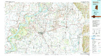 1990 Clarksdale1991 Print · USGSThe Mississippi Delta in the 1990s remained a landscape of river-driven commerce and small-town resilience. Researchers can trace the path of the Illinois Central Railroad through settlements like Clarksdale, Friars Point, and Alligator.
 - 2011 Map of Watkins Corner, 2011 Print
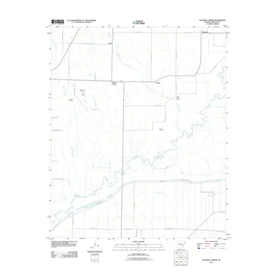 2011 Watkins Corner2011 Print · USGSPhillips County in the early twenty-first century remains a landscape of traditional Arkansas Delta farming and quiet rural communities. Genealogists can trace family roots at Mount Zion Cemetery or Taylor Cemetery and locate the settlements of Watkins Corner and Cypert.
 - 2014 Map of Watkins Corner, 2014 Print
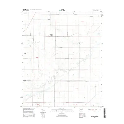 2014 Watkins Corner2014 Print · USGSPhillips County's rural Delta landscape is documented here during the early 2010s. Genealogists and local historians can trace family roots through sites like Mt Zion Cem, Taylor Cem, and the small community of Watkins Corner.
 - 2017 Map of Watkins Corner, 2017 Print
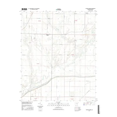 2017 Watkins Corner2017 Print · USGSPhillips County's agricultural Delta landscape is shown here in the late twenty-tens, revealing a network of rural settlements and vital water management features. Researchers can locate family landmarks such as Mount Zion Cem, trace the drainage of Jessie Slough, or follow the roads connecting Cypert and Watkins Corner.
 - 2020 Map of Watkins Corner, 2020 Print
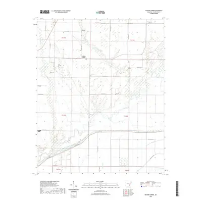 2020 Watkins Corner2020 Print · USGSThe Phillips County delta remains a landscape defined by its waterways and small farming communities in this recent survey. Genealogists can locate family burial sites at Mount Zion Cem or Taylor Cem and trace the rural road network connecting Cypert and Watkins Corner.
 - 2024 Map of Watkins Corner, 2024 Print
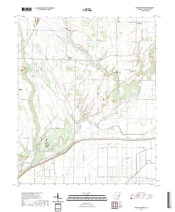 2024 Watkins Corner2024 Print · USGSPhillips County is captured here in the contemporary era, showing a landscape defined by the White River National Wildlife Refuge and the winding Big Creek. Researchers can trace old family sites and rural settlements like Watkins Corner, Cypert, and the Mount Zion Cem.
End of results
Showing maps 1-17 of 17
Top cities near Cypert
- Marvell historical maps
- Elaine historical maps
- Holly Grove historical maps
- Lake View historical maps
- Lexa historical maps
- Saint Charles historical maps
See more
Frequently asked questions
- What are the different types of historical maps available for Cypert?
- What is the oldest map of Cypert?
- Where can I purchase historical maps of Cypert for my home or office?
- Where can I download high-res historical maps of Cypert?
- Are there historical topographic maps available for Cypert?
- Is there historical aerial imagery available for Cypert?
- Where are historical maps of Cypert sourced from?