2020s Maps of Helena-West Helena, Arkansas
Explore 6 historic maps of Helena-West Helena from the 2020s. These maps offer a rare glimpse into what life looked like during the 2020s — showing old roads, neighborhoods, homes, and landmarks that have changed or disappeared over time.
Whether you're researching your family's past, planning a metal detecting trip, or studying how Helena-West Helena's landscape evolved across the 2020s, these high-resolution maps are a powerful tool for exploring the history of this region.
- Focus on a specific era: All maps on this page are from the 2020s, giving you a focused view of this time period.
- See what’s changed: Compare century-old streets, trails, and buildings to today's modern landscape using overlays and satellite layers.
- Research with precision: Use these maps for genealogy, historical research, land use analysis, or educational projects.
- View, download, or print: Maps are fully viewable online in high resolution, and can be downloaded or printed for your own records.
Start exploring Helena-West Helena's history through authentic maps from the 2020s. This is your window into the past.
Helena-West Helena, AR maps
(6)- 2020 Map of Helena, 2020 Print
 2020 Helena2020 Print · USGSCovers Helena-West Helena, including Eagle Landing, Jeffries, and other nearby areas
 - 2020 Map of West Helena, 2020 Print
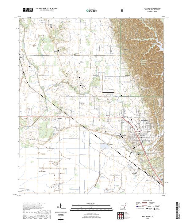
 2020 West Helena2020 Print · USGSCovers Helena-West Helena, including Lexa, Wycamp, and other nearby areas
 - 2020 Map of Moon Lake, 2020 Print
 2020 Moon Lake2020 Print · USGSCovers Helena-West Helena, including Delta, Danforth, and other nearby areas
 - 2024 Map of West Helena, 2024 Print
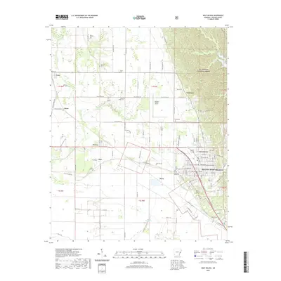
 2024 West Helena2024 Print · USGSPhillips County settlements and the transition to the Mississippi alluvial plain are captured here in the mid-2020s. Genealogists can locate family burial sites like Jackson Memorial Cem and Rindy Grove Cem or trace the path of the Delta Heritage Trl.
 - 2024 Map of Moon Lake, 2024 Print
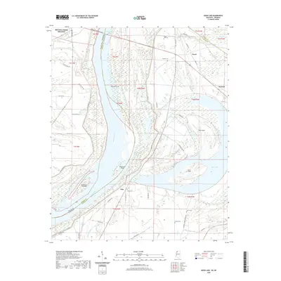
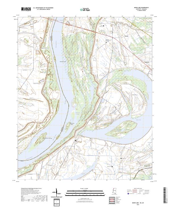 2024 Moon Lake2024 Print · USGSThe Mississippi River floodplain comes into sharp focus here in 2024, showing the intricate relationship between the river and the delta landscape. Researchers can locate several burial grounds like Delta Cem and Fredonia Cem, or trace landmarks like Alcorn Island.
 - 2024 Map of Helena, 2024 Print
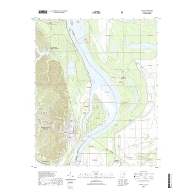
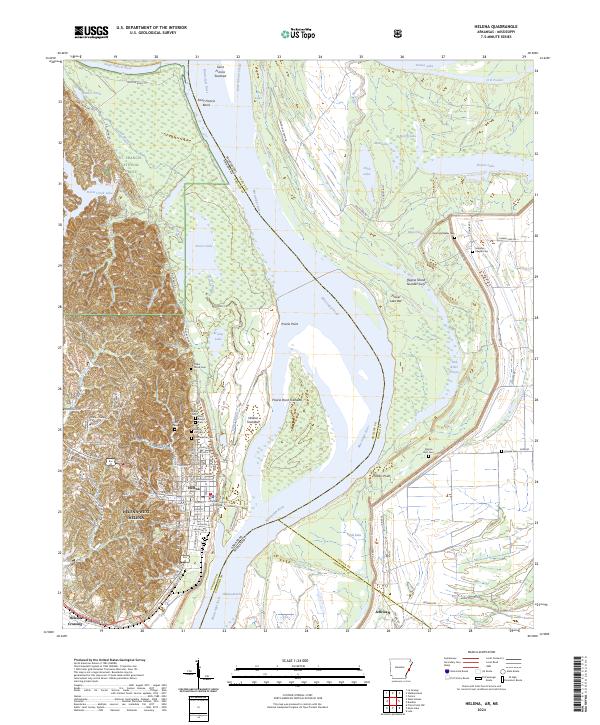 2024 Helena2024 Print · USGSThe Mississippi River Delta comes into sharp focus during the 2020s, showing the complex riverbanks of the Arkansas and Mississippi border. Researchers can locate numerous family and historic burial sites like Confederate Cem and trace the landscape around Prairie Point.
End of results
Showing maps 1-6 of 6
Top cities near Helena-West Helena
- Marianna historical maps
- Jonestown historical maps
- Friars Point historical maps
- Elaine historical maps
- Lake View historical maps
- Coahoma historical maps
See more
Top neighborhoods of Helena-West Helena
- West Helena historical maps
- Helena Crossing historical maps
- Midland Heights historical maps
- Oak Forest historical maps
- Helena historical maps
- Holiday Hills historical maps
Frequently asked questions
- What are the different types of historical maps available for Helena-West Helena?
- What is the oldest map of Helena-West Helena?
- Where can I purchase historical maps of Helena-West Helena for my home or office?
- Where can I download high-res historical maps of Helena-West Helena?
- Are there historical topographic maps available for Helena-West Helena?
- Is there historical aerial imagery available for Helena-West Helena?
- Where are historical maps of Helena-West Helena sourced from?