2020s Maps of Poinsett County, Arkansas
Explore 42 historic maps of Poinsett County from the 2020s. These maps offer a rare glimpse into what life looked like during the 2020s — showing old roads, neighborhoods, homes, and landmarks that have changed or disappeared over time.
Whether you're researching your family's past, planning a metal detecting trip, or studying how Poinsett County's landscape evolved across the 2020s, these high-resolution maps are a powerful tool for exploring the history of this region.
- Focus on a specific era: All maps on this page are from the 2020s, giving you a focused view of this time period.
- See what’s changed: Compare century-old streets, trails, and buildings to today's modern landscape using overlays and satellite layers.
- Research with precision: Use these maps for genealogy, historical research, land use analysis, or educational projects.
- View, download, or print: Maps are fully viewable online in high resolution, and can be downloaded or printed for your own records.
Start exploring Poinsett County's history through authentic maps from the 2020s. This is your window into the past.
Poinsett County, AR maps
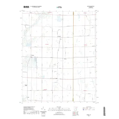
(42)- 2020 Map of Risher, 2020 Print
 2020 Risher2020 Print · USGSCovers Poinsett County, including Weiner, Risher, and other nearby areas
 - 2020 Map of Otwell, 2020 Print
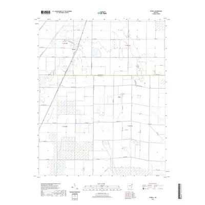 2020 Otwell2020 Print · USGSCovers Poinsett County, including Otwell, Craighead County, and other nearby areas
 - 2020 Map of Tyronza, 2020 Print
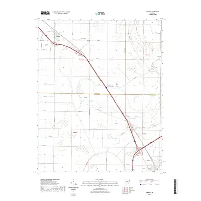 2020 Tyronza2020 Print · USGSCovers Poinsett County, including Tyronza, Turrell, and other nearby areas
 - 2020 Map of Monterey, 2020 Print
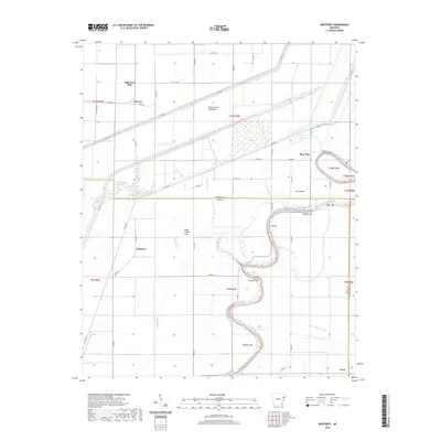 2020 Monterey2020 Print · USGSCovers Poinsett County, including Fortune, Monterey, and other nearby areas
 - 2020 Map of Hickory Ridge, 2020 Print
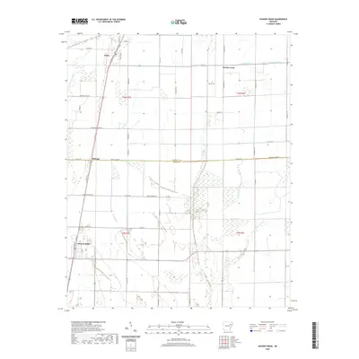 2020 Hickory Ridge2020 Print · USGSCovers Poinsett County, including Hickory Ridge, Fisher, and other nearby areas
 - 2020 Map of McCormick, 2020 Print
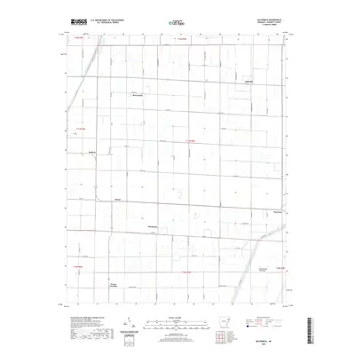 2020 McCormick2020 Print · USGSCovers Poinsett County, including McCormick, Weona, and other nearby areas
 - 2020 Map of Rivervale, 2020 Print
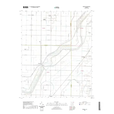 2020 Rivervale2020 Print · USGSCovers Poinsett County, including Caraway, Etowah, and other nearby areas
 - 2020 Map of Harrisburg, 2020 Print
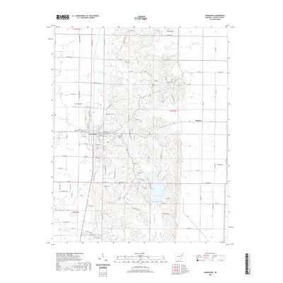 2020 Harrisburg2020 Print · USGSCovers Poinsett County, including Harrisburg, Whitaker, and other nearby areas
 - 2020 Map of Marked Tree, 2020 Print
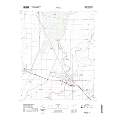 2020 Marked Tree2020 Print · USGSCovers Poinsett County, including Marked Tree, Cassidy, and other nearby areas
 - 2020 Map of Joyland, 2020 Print
 2020 Joyland2020 Print · USGSCovers Poinsett County, including Galilee, Black Oak, and other nearby areas
 - 2020 Map of Powers Slough, 2020 Print
 2020 Powers Slough2020 Print · USGSCovers Poinsett County, including United States, Arkansas, and other nearby areas
 - 2020 Map of Hatchie Coon, 2020 Print
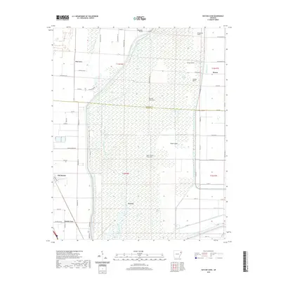 2020 Hatchie Coon2020 Print · USGSCovers Poinsett County, including Trumann, Longwill, and other nearby areas
 - 2020 Map of Lepanto, 2020 Print
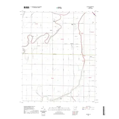
 2020 Lepanto2020 Print · USGSCovers Poinsett County, including Lepanto, Frys Mill, and other nearby areas
 - 2020 Map of Cherry Valley West, 2020 Print
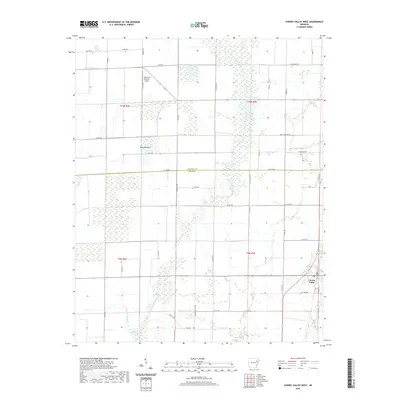 2020 Cherry Valley West2020 Print · USGSCovers Poinsett County, including Cherry Valley, Cross County, and other nearby areas
 - 2020 Map of Cherry Valley East, 2020 Print
 2020 Cherry Valley East2020 Print · USGSCovers Poinsett County, including Cherry Valley, Wiley Crossing, and other nearby areas
 - 2020 Map of Greenfield, 2020 Print
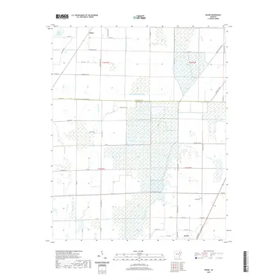
 2020 Greenfield2020 Print · USGSCovers Poinsett County, including Jonesboro, Ridge, and other nearby areas
 - 2020 Map of Trumann, 2020 Print
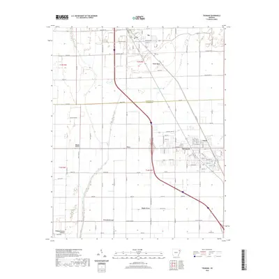 2020 Trumann2020 Print · USGSCovers Poinsett County, including Trumann, Bay, and other nearby areas
 - 2020 Map of Amagon, 2020 Print
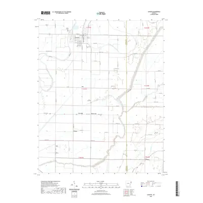
 2020 Amagon2020 Print · USGSCovers Poinsett County, including Amagon, Balch, and other nearby areas
 - 2020 Map of Weiner, 2020 Print
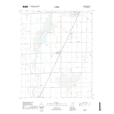 2020 Weiner2020 Print · USGSCovers Poinsett County, including Weiner, Waldenburg, and other nearby areas
 - 2020 Map of Beedeville, 2020 Print
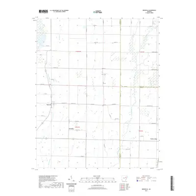 2020 Beedeville2020 Print · USGSCovers Poinsett County, including Hickory Ridge, Beedeville, and other nearby areas
 - 2020 Map of Grubbs, 2020 Print
 2020 Grubbs2020 Print · USGSCovers Poinsett County, including Grubbs, Chilson, and other nearby areas
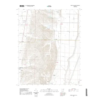
 - 2024 Map of Cherry Valley East, 2024 Print
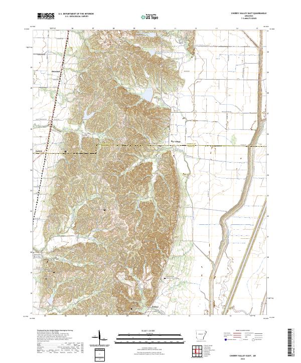 2024 Cherry Valley East2024 Print · USGSThe varied terrain of Crowleys Ridge defines this corner of Northeast Arkansas, where high ground provided a refuge for early settlers. Genealogists can trace family footprints across several historic burial sites, from Stark Cem to the Arkansas State Veterans Cem at Birdeye.
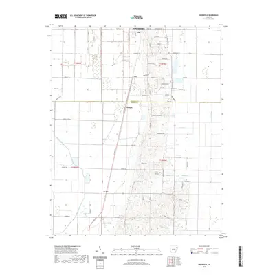
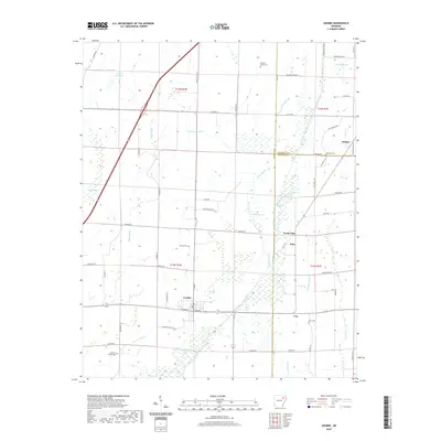
 - 2024 Map of Greenfield, 2024 Print
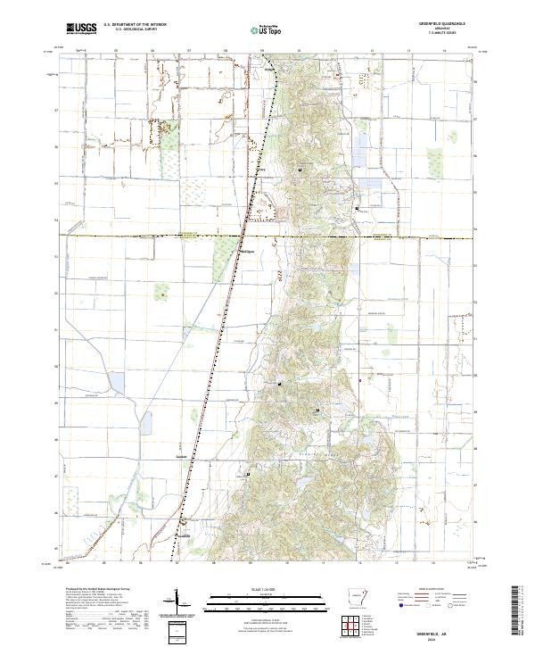 2024 Greenfield2024 Print · USGSThe Crowley’s Ridge corridor comes into focus at the Poinsett and Craighead county line in this current mapping. Genealogists can locate several family burial grounds including Mount Pisgah Cem and Willis Cem, or trace rural communities like Mulligan and Gaulett.
 - 2024 Map of Hickory Ridge, 2024 Print
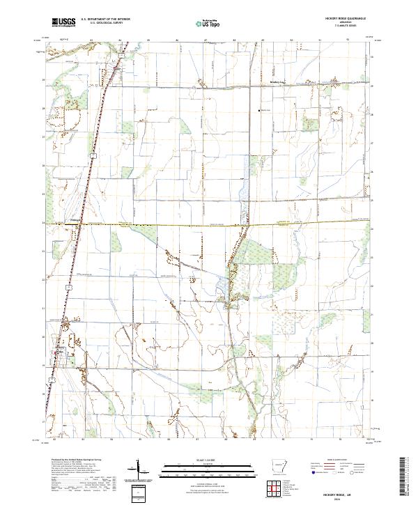 2024 Hickory Ridge2024 Print · USGSThe Delta farmland of Cross and Poinsett Counties is captured here in its contemporary state, showing the persistent agricultural grid and drainage systems. Researchers can locate the Wyatts Cem, the settlement at Fisher, and old watercourses like Gum Slough.
 - 2024 Map of Rivervale, 2024 Print
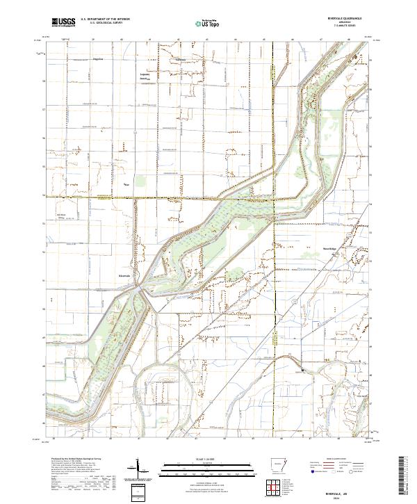 2024 Rivervale2024 Print · USGSThe Arkansas Delta comes into focus on this recent survey, showcasing the intersection of Poinsett, Craighead, and Mississippi Counties. Researchers can trace rural cemeteries and crossroads like Hawkins Cem, Rivervale, and Lepanto Junction amid a landscape defined by the Right Hand Chute Little River.
Showing maps 1-25 of 42
Top cities of Poinsett County
- Trumann historical maps
- Marked Tree historical maps
- Harrisburg historical maps
- Lepanto historical maps
- Tyronza historical maps
- Weiner historical maps
See more
Frequently asked questions
- What are the different types of historical maps available for Poinsett County?
- What is the oldest map of Poinsett County?
- Where can I purchase historical maps of Poinsett County for my home or office?
- Where can I download high-res historical maps of Poinsett County?
- Are there historical topographic maps available for Poinsett County?
- Is there historical aerial imagery available for Poinsett County?
- Where are historical maps of Poinsett County sourced from?