2020s Maps of Pope County, Arkansas
Explore 46 historic maps of Pope County from the 2020s. These maps offer a rare glimpse into what life looked like during the 2020s — showing old roads, neighborhoods, homes, and landmarks that have changed or disappeared over time.
Whether you're researching your family's past, planning a metal detecting trip, or studying how Pope County's landscape evolved across the 2020s, these high-resolution maps are a powerful tool for exploring the history of this region.
- Focus on a specific era: All maps on this page are from the 2020s, giving you a focused view of this time period.
- See what’s changed: Compare century-old streets, trails, and buildings to today's modern landscape using overlays and satellite layers.
- Research with precision: Use these maps for genealogy, historical research, land use analysis, or educational projects.
- View, download, or print: Maps are fully viewable online in high resolution, and can be downloaded or printed for your own records.
Start exploring Pope County's history through authentic maps from the 2020s. This is your window into the past.
Pope County, AR maps
(46)- 2020 Map of Hattieville, 2020 Print
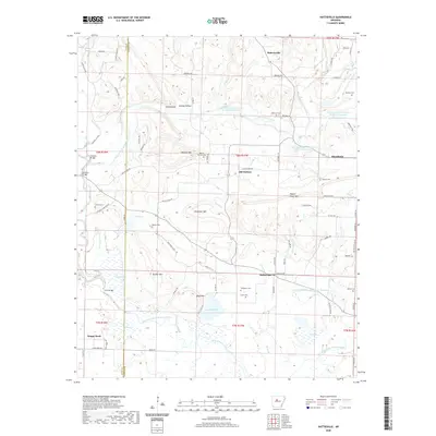 2020 Hattieville2020 Print · USGSUpper Conway County was a patchwork of creek-side settlements and high ridges during this era. Researchers can trace family history through several local burial sites like Beeson Cem and Cooks Cem, or locate landmarks such as Burnetts Bridge.
 - 2020 Map of Atkins, 2020 Print
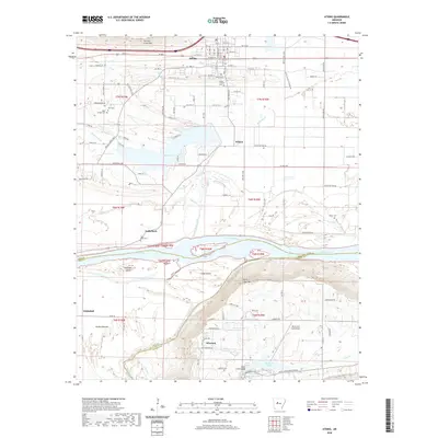 2020 Atkins2020 Print · USGSThe Arkansas River valley comes into focus in the 2020s, showing the agricultural and transport corridor between the river and the heights of Crow Mtn. Researchers can trace the layout of Atkins, locate family sites at Gally Rock Cem and Darr Cem, and explore the parklands around Petit Jean Mtn.
 - 2020 Map of Morrilton West, 2020 Print
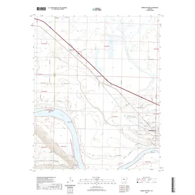 2020 Morrilton West2020 Print · USGSThe Arkansas River valley comes into sharp focus during this recent era, highlighting the city of Morrilton and its relationship with the surrounding terrain. Researchers can trace the elevation of Petit Jean Mtn or locate family history at Elmwood Cem and Happy Bend Cem.
 - 2020 Map of Solo, 2020 Print
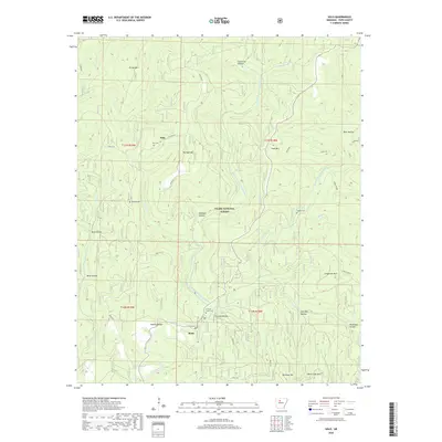 2020 Solo2020 Print · USGSPope County’s forested highlands and river forks are captured here in the early twenty-first century. Genealogists and hikers can trace the remote Solo and Retta communities, locate the Forks of Creek Cem, and follow the Bayou Bluff Trail along the water.
 - 2020 Map of Lost Corner, 2020 Print
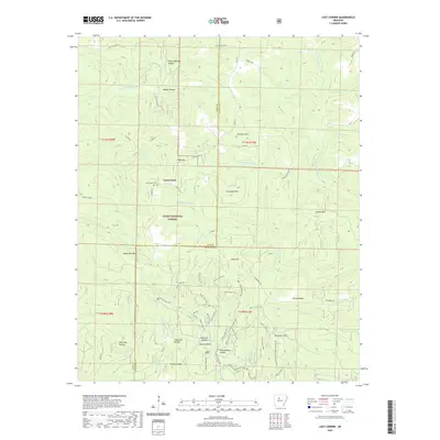 2020 Lost Corner2020 Print · USGSThe Pope and Van Buren county line comes alive in the modern era, showing the deep-set hollows and ridges of the Ozarks. Family historians can trace legacies through sites like New Hope Cem and geographically named landmarks such as Victor Millsaps Hollow and Schoolhouse Hollow.
 - 2020 Map of Moreland, 2020 Print
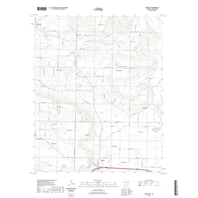 2020 Moreland2020 Print · USGSPope County in the early twenty-first century reveals a landscape of dispersed rural settlements and family landmarks. Researchers can trace the heritage of Oak Grove and Pea Ridge or locate family burial sites at Shady Grove Cem and Hudson Cem.
 - 2020 Map of Tilly, 2020 Print
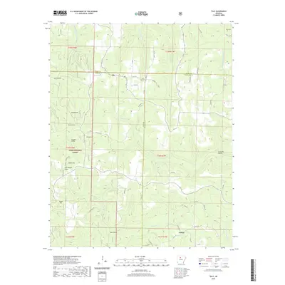 2020 Tilly2020 Print · USGSThe Arkansas Ozarks are documented in the modern era as they span three counties and the Ozark National Forest. Genealogists and hikers can trace family sites like Zion Hill Cem and landmarks such as Shields Knob or Walker Mtn.
 - 2020 Map of Jerusalem, 2020 Print
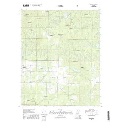 2020 Jerusalem2020 Print · USGSJerusalem and the southern Ozark National Forest are documented in this contemporary study of Conway County, Arkansas. Genealogists and hikers can trace rural history through numerous family burial sites like Thompson Cem and Wiley Cem, or explore landmarks from Brock Creek Lake to Gobblers Point.
 - 2020 Map of Russellville West, 2020 Print
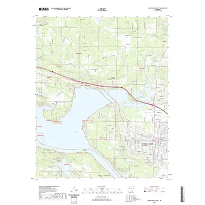 2020 Russellville West2020 Print · USGSThe Arkansas River valley comes alive in this 2020 map of the Russellville area, showing the city's growth alongside historic rural settlements. Genealogists and local historians can trace civic landmarks like the Pope County Courthouse or search for family names at Washburn Cemetery and the Ouita Coal Company.
 - 2020 Map of Lee Mountain, 2020 Print
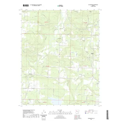 2020 Lee Mountain2020 Print · USGSPope County's rural uplands and valley settlements come into focus in this contemporary survey of the region north of Dover. Genealogists and local historians can locate several family burial sites including Brown-Rye Cem, Pollard Cem, and Piney Cem near the banks of Big Piney Creek.
 - 2020 Map of Treat, 2020 Print
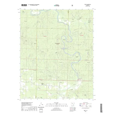 2020 Treat2020 Print · USGSPope and Johnson counties are captured here in the contemporary Ozarks, defined by the winding Big Piney Creek. Genealogists can trace family footprints at Treat Cem, Shannon Cem, and the rural community of Silex.
 - 2020 Map of Fort Douglas, 2020 Print
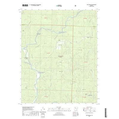 2020 Fort Douglas2020 Print · USGSFort Douglas and the Ozark National Forest are shown in high detail in this 2020 topographical study. Genealogists and hikers can trace the Ozark Highlands Trail and locate family landmarks like Wheeler Cem, Coleman Knob, and the Hurricane Creek Natural Bridge.
 - 2020 Map of Holla Bend, 2020 Print
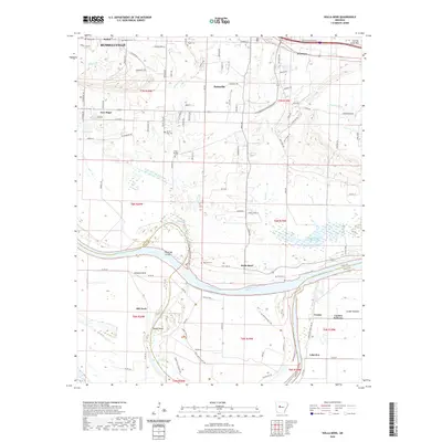 2020 Holla Bend2020 Print · USGSPope and Yell Counties are defined here by the winding Arkansas River as it flows past Russellville and Pottsville. Trace the legacy of early travel and family history at Butterfield Stagecoach Byp, Bethel Cem, and the riverfront at Howells Bend.
 - 2020 Map of Casa, 2020 Print
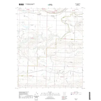 2020 Casa2020 Print · USGSThe northern Arkansas foothills in Perry and Yell counties are captured here as they appeared in recent years. Researchers can trace family history through sites like Slaty Crossing Catholic Cem or explore small settlements such as Cotton Town and Casa.
 - 2020 Map of Dover, 2020 Print
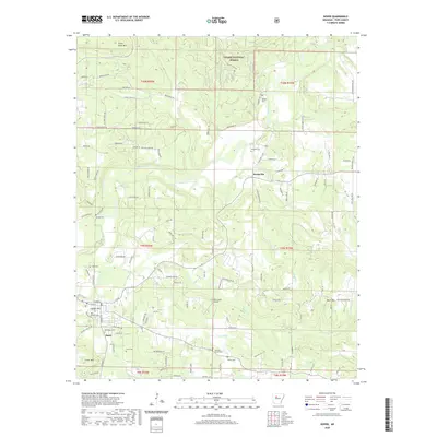 2020 Dover2020 Print · USGSPope County in the Ozark foothills remains centered on its rural roots and creek-side communities. Genealogists can trace family names through numerous burial grounds like Stout Cem and Jamison Cem or locate the historic site of Scottsville.
 - 2020 Map of Simpson, 2020 Print
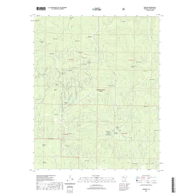 2020 Simpson2020 Print · USGSPope County's Ozark highlands are captured here in the contemporary era, showing a landscape defined by deep hollows and forest ridges. Researchers can locate family landmarks and burial sites like Oak Grove Cem, Lane Cem, and the high peak of Dare Mine Knob.
 - 2020 Map of Sand Gap, 2020 Print
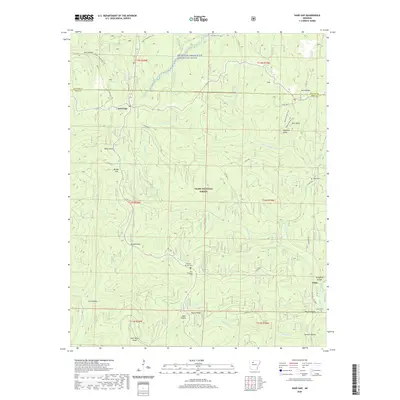 2020 Sand Gap2020 Print · USGSThe Boston Mountains of Arkansas are shown here in recent years, where remote forest settlements persist within the Ozark National Forest. Researchers can locate several high-country burial grounds like Freeman Springs Cem and trace landmark formations such as Pedestal Rocks and Arch Rock.
 - 2020 Map of Russellville East, 2020 Print
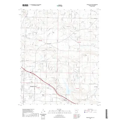 2020 Russellville East2020 Print · USGSPope County in the early twenty-first century reveals a landscape where the growing city of Russellville meets historic rural crossroads. Genealogists can trace family names through numerous local burial sites like Utley Cem, Bowden Cem, and the Old Baptist Cem.
 - 2020 Map of Dardanelle, 2020 Print
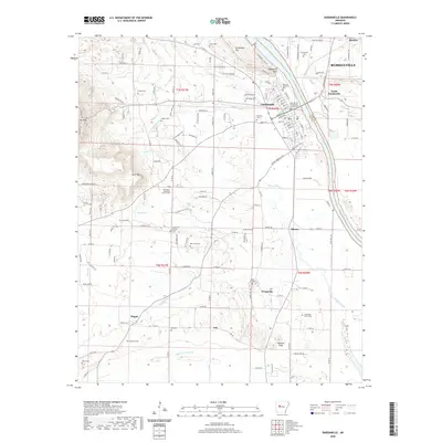 2020 Dardanelle2020 Print · USGSThe Arkansas River corridor at the turn of the decade shows the shared geography of Dardanelle and Russellville. Researchers can trace local heritage through numerous family burial sites like Lyons Cem and landmarks such as the Yell County - Dardanelle Courthouse.
 - 2020 Map of Knoxville, 2020 Print
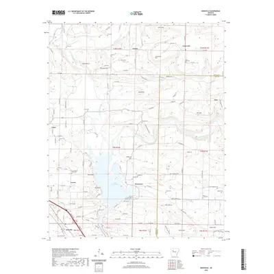 2020 Knoxville2020 Print · USGSSettlements along the northern shores of the Arkansas River are captured in this modern survey of Johnson and Pope Counties. Researchers can locate numerous family burial sites and local landmarks like the Lewis Johnson Family Cem, Jackson Bluff, and Turkey Houses near Knoxville.
 - 2020 Map of Smyrna, 2020 Print
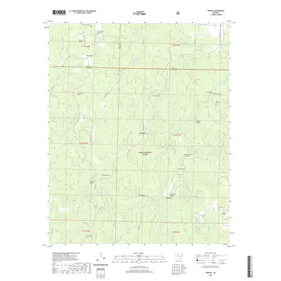 2020 Smyrna2020 Print · USGSSmyrna and the surrounding Pope County highlands are shown here in the modern era, featuring a landscape of deep hollows and high ridges. Researchers can locate family cemeteries like Old Smyrna Cem or trace natural landmarks like Falling Water Falls and Chinquapin Knob.
 - 2020 Map of Hector, 2020 Print
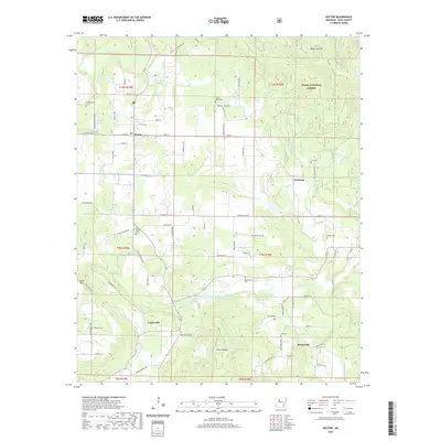 2020 Hector2020 Print · USGSPope County at the turn of the decade is a landscape of rural crossroads and forested ridges. Local historians can trace family locations near the many community burial grounds like Rock Springs Cem, Hill Cem, or the small settlements of Caglesville and Buttermilk.
 - 2020 Map of Delaware, 2020 Print
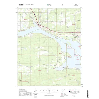 2020 Delaware2020 Print · USGSIn the Arkansas River Valley just before the 2020s, the shores of Lake Dardanelle define the landscape between London and Knoxville. Genealogists and historians can trace numerous family burial sites, from Garrison Cem to Stinnett Cem, alongside landmarks like River Mtn.
 - 2024 Map of Lost Corner, 2024 Print
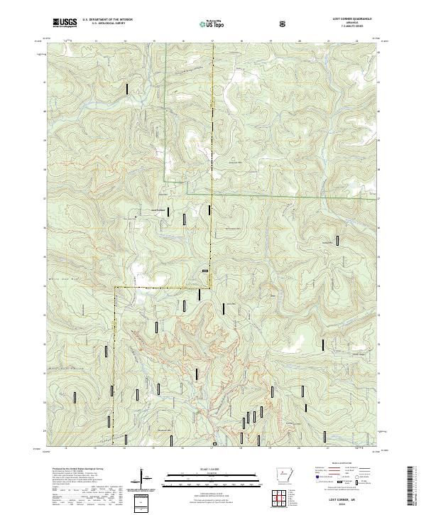 2024 Lost Corner2024 Print · USGSThe remote ridges of the Ozarks are captured here on the Pope and Van Buren county line. Genealogists and hikers can trace old family hollows and landmarks like New Hope Cem, Victor Millsaps Hollow, and the rural settlement of Lost Corner.
 - 2024 Map of Tilly, 2024 Print
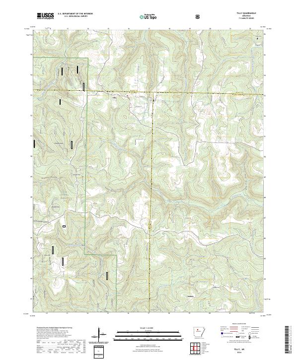 2024 Tilly2024 Print · USGSThe rugged borders of Pope, Searcy, and Van Buren counties come together in this modern survey of the Ozark highlands. Genealogists and local historians can locate family landmarks such as Union Hill Cem, Parks Cem, and the settlement of Tilly.
Showing maps 1-25 of 46
Top cities of Pope County
- Russellville historical maps
- Atkins historical maps
- Pottsville historical maps
- Dover historical maps
- London historical maps
- Hector historical maps
Frequently asked questions
- What are the different types of historical maps available for Pope County?
- What is the oldest map of Pope County?
- Where can I purchase historical maps of Pope County for my home or office?
- Where can I download high-res historical maps of Pope County?
- Are there historical topographic maps available for Pope County?
- Is there historical aerial imagery available for Pope County?
- Where are historical maps of Pope County sourced from?