Old Maps of Tollville, Arkansas for Academic Research
Study the evolution of Tollville with 17 high-resolution historic maps. Whether you're teaching, researching, or modeling changes in land use, these maps provide essential visual documentation of urban, environmental, and geographic change.
- Analyze long-term change: Track patterns in development, transportation, and natural features.
- Ideal for environmental or urban studies: Support academic projects with primary historical map data.
- Use in the classroom or lab: Educators and researchers rely on these maps to bring historical context to life.
These maps are a powerful tool for teaching, research, and visualizing how Tollville has changed over the decades.
Tollville, AR maps
(17)- 1937 Map of Stuttgart
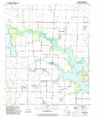
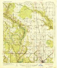 1937 Stuttgart1937 Print · USGSThe Grand Prairie region of Arkansas is captured here in the mid-1930s, showing the early infrastructure of the rice-growing heartland. Genealogists can trace family roots through numerous country schools and landmarks like Rice Junction, Slovac, and the Gum Pond Cem.3 unique versions available
 - 1939 Map of Stuttgart, 1947 Print
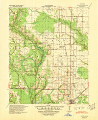 1939 Stuttgart1947 Print · USGSThe Grand Prairie region of Arkansas is captured here in the late 1930s, showing the agricultural heartland around the rail hub of Stuttgart. Genealogists and historians can trace defunct rural school districts like Fairmount Sch and Hamilton Sch or the early rail alignments of the St Louis Southwestern Ry.
 - 1948 Map of Helena
 1948 Helena1948 Print · USGSEastern Arkansas and the Mississippi Delta are captured here just after the war, showing a landscape defined by its great rivers and rail lines. Genealogists can trace family locations near Bemis Plantation, Helena, and smaller rail stops like Wheatley and Moro.
 - 1950 Map of Helena
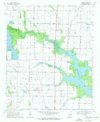
 1950 Helena1950 Print · USGSMid-century Phillips County and the surrounding Delta region are shown at a peak of rail and river commerce. Genealogists and historians can trace family locations through numerous rural communities like Old Austin, Cotton Plant, and West Helena, or follow the routes of the Missouri Pacific RR across Grand Prairie.2 unique versions available
 - 1955 Map of Helena, 1967 Print
 1955 Helena1967 Print · USGSThe Arkansas Delta and Mississippi floodplains are captured here in the mid-fifties, during a period of expanding flood control and rail commerce. Researchers can trace the extensive Chicago Rock Island and Pacific RR lines and locate sites like the Arkansas State College Experimental Rice Farm or Friars Point.2 unique versions available
 - 1959 Map of Helena
 1959 Helena1959 Print · USGSThe Arkansas and Mississippi Delta regions are captured here in the late fifties, showing a landscape defined by the Mississippi River and the Grand Prairie. Genealogists and researchers can trace the rail networks of the Illinois Central RR and locate community landmarks like Helena and the White River National Wildlife Refuge.
 - 1960 Map of Helena
 1960 Helena1960 Print · USGSThe Arkansas and Mississippi Delta regions meet along the great river bends during a period of significant agricultural and rail expansion. Genealogists and historians can trace the paths of the Missouri Pacific railroad through Clarendon or locate landings along the Mississippi River and White River.
 - 1969 Map of Slovak, 1971 Print
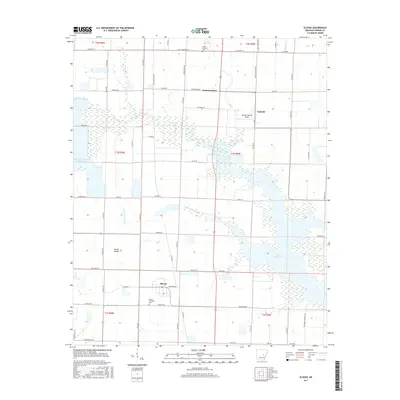
 1969 Slovak1971 Print · USGSThe Grand Prairie region of Prairie County comes to life in the late sixties as a center of Arkansas rice farming and European immigrant heritage. Trace family roots at the Russian Orthodox Cem and Czech National Cem, or follow the Chicago Rock Island and Pacific rail line through Slovak and Tollville.
 - 1971 Map of Stuttgart
 1971 Stuttgart1971 Print · USGSThe Grand Prairie region of Arkansas comes alive in the early 1970s, showing the meeting of three counties and two major railroads. Researchers can trace the heritage of local communities like Slovak and Fairmount or locate family plots at Geridge Cemetery and Tate Cemetery.
 - 1986 Map of Brinkley
 1986 Brinkley1986 Print · USGSThe Grand Prairie and White River basin come to life in the mid-1980s, showing the intersection of heavy rail and interstate travel through eastern Arkansas. Genealogists can locate family sites near Sylvania Cem, Oak Grove Ch, and the rural community of De Valls Bluff.
 - 1990 Map of Brinkley, 1991 Print
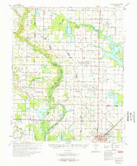
 1990 Brinkley1991 Print · USGSEastern Arkansas at the start of the 1990s is defined by the agricultural rhythms of the Grand Prairie and the vital White River corridor. Genealogists and historians can trace the rail-linked growth of Brinkley and Des Arc alongside older landmarks like Peckerwood Lake.
 - 1994 Map of Slovak
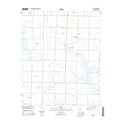
 1994 Slovak1994 Print · USGSThe Grand Prairie region of Arkansas is captured here in the 1990s, showcasing its unique immigrant heritage and complex irrigation landscape. Researchers can trace the roots of the local community through sites like Slovak, the Czech National Cem, and the Russian Orthodox Cam.
 - 2011 Map of Slovak, 2011 Print
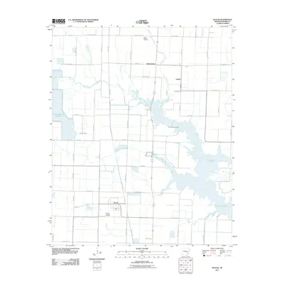 2011 Slovak2011 Print · USGSCovers Tollville, including Siedenstricker, Slovak, and other nearby areas
 - 2014 Map of Slovak, 2014 Print
 2014 Slovak2014 Print · USGSCovers Tollville, including Siedenstricker, Slovak, and other nearby areas
 - 2017 Map of Slovak, 2017 Print
 2017 Slovak2017 Print · USGSCovers Tollville, including Siedenstricker, Slovak, and other nearby areas
 - 2020 Map of Slovak, 2020 Print
 2020 Slovak2020 Print · USGSCovers Tollville, including Siedenstricker, Slovak, and other nearby areas
 - 2024 Map of Slovak, 2024 Print
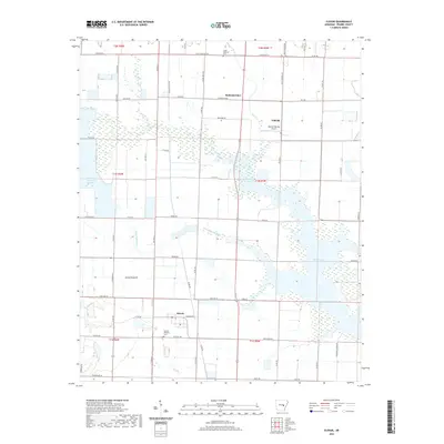
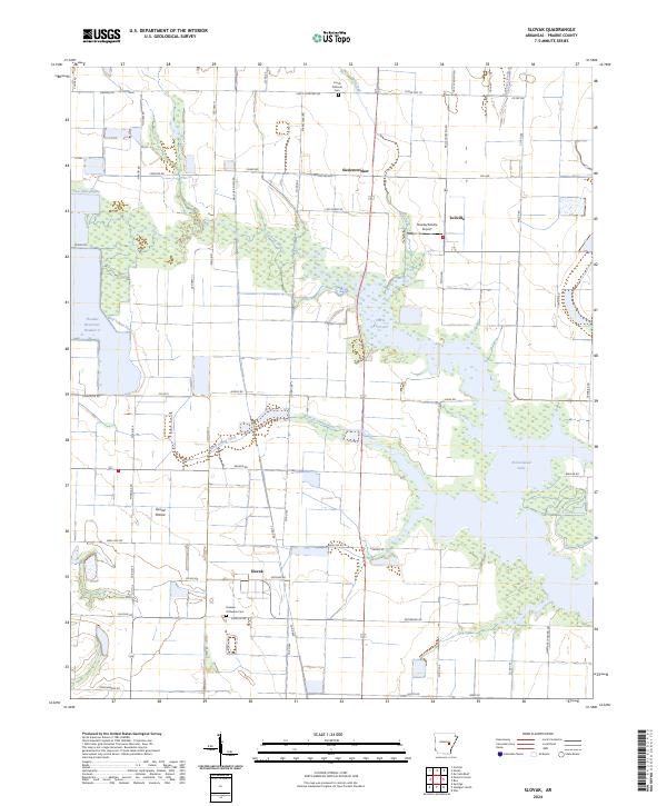 2024 Slovak2024 Print · USGSPrairie County agriculture and immigrant heritage define this region in the twenty-first century. Genealogists and local historians can trace family ties at the Russian Orthodox Cem and Czech National Cem or explore the settlements of Slovak and Tollville.
End of results
Showing maps 1-17 of 17
Top cities near Tollville
- Stuttgart historical maps
- Carlisle historical maps
- Clarendon historical maps
- Hazen historical maps
- De Valls Bluff historical maps
- Fredonia (Biscoe) historical maps
See more
Frequently asked questions
- What are the different types of historical maps available for Tollville?
- What is the oldest map of Tollville?
- Where can I purchase historical maps of Tollville for my home or office?
- Where can I download high-res historical maps of Tollville?
- Are there historical topographic maps available for Tollville?
- Is there historical aerial imagery available for Tollville?
- Where are historical maps of Tollville sourced from?