
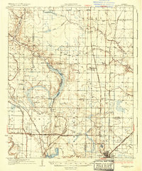
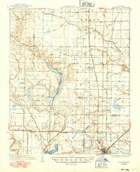
1937 Map of Stuttgart
USGS Topo · Published 1937About this map
Stuttgart anchors the southeastern corner of this mid-1930s survey, showing a landscape defined by the intersection of the St Louis Southwestern RR and the Chicago Rock Island and Pacific RR. The area’s agricultural development is evident in the network of rural schools like Isbell Sch, Fairmount Sch, and Brummitt Sch that served dispersed farming communities. Near the municipal center, Rice Junction points to the region's importance in the grain industry, while cemetery sites such as Gum Pond Cem and Lutheran Cem provide valuable touchstones for genealogical research.
Find a feature on this map
68 named features on this map. Tap any name to fly to it.
Don’t see what you’re looking for? This feature index may not catch every label — zoom into the map to look around manually.
Map Details
Editions of this 1937 Stuttgart Map
3 editions found
Other maps of this area

1935 · Altheimer
USGS Topo · 1:62,500

1935 · Hazen
USGS Topo · 1:62,500

1935 · Clarendon
USGS Topo · 1:62,500

1937 · England
USGS Topo · 1:48,000

1939 · Stuttgart
USGS Topo · 1:62,500

1940 · Lonoke
USGS Topo · 1:62,500

1941 · Hazen
USGS Topo · 1:62,500

1941 · De Witt
USGS Topo · 1:62,500

1941 · De Valls Bluff
USGS Topo · 1:62,500

1941 · Goldman
USGS Topo · 1:62,500