2020s Maps of Sebastian County, Arkansas
Explore 36 historic maps of Sebastian County from the 2020s. These maps offer a rare glimpse into what life looked like during the 2020s — showing old roads, neighborhoods, homes, and landmarks that have changed or disappeared over time.
Whether you're researching your family's past, planning a metal detecting trip, or studying how Sebastian County's landscape evolved across the 2020s, these high-resolution maps are a powerful tool for exploring the history of this region.
- Focus on a specific era: All maps on this page are from the 2020s, giving you a focused view of this time period.
- See what’s changed: Compare century-old streets, trails, and buildings to today's modern landscape using overlays and satellite layers.
- Research with precision: Use these maps for genealogy, historical research, land use analysis, or educational projects.
- View, download, or print: Maps are fully viewable online in high resolution, and can be downloaded or printed for your own records.
Start exploring Sebastian County's history through authentic maps from the 2020s. This is your window into the past.
Sebastian County, AR maps
(36)- 2020 Map of Charleston, 2020 Print
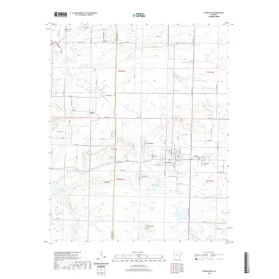 2020 Charleston2020 Print · USGSCovers Sebastian County, including Charleston, Ursula, and other nearby areas
 - 2020 Map of Cauthron, 2020 Print
 2020 Cauthron2020 Print · USGSCovers Sebastian County, including Oliver, Patterson, and other nearby areas
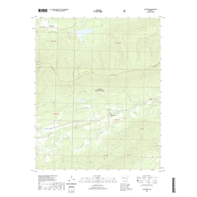
 - 2020 Map of Hartford, 2020 Print
 2020 Hartford2020 Print · USGSCovers Sebastian County, including Hartford, Hill, and other nearby areas
 - 2020 Map of Barling, 2020 Print
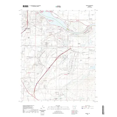 2020 Barling2020 Print · USGSCovers Sebastian County, including Fort Smith, Barling, and other nearby areas
 - 2020 Map of Lavaca, 2020 Print
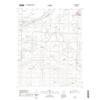 2020 Lavaca2020 Print · USGSCovers Sebastian County, including Barling, Lavaca, and other nearby areas
 - 2020 Map of Barber, 2020 Print
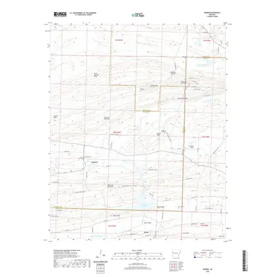 2020 Barber2020 Print · USGSCovers Sebastian County, including Glendale, Barber, and other nearby areas
 - 2020 Map of Hackett, 2020 Print
 2020 Hackett2020 Print · USGSCovers Sebastian County, including Pocola, Hackett, and other nearby areas
 - 2020 Map of Greenwood, 2020 Print
 2020 Greenwood2020 Print · USGSCovers Sebastian County, including Greenwood, Big Rock, and other nearby areas
 - 2020 Map of Burnville, 2020 Print
 2020 Burnville2020 Print · USGSCovers Sebastian County, including Greenwood, Carnis, and other nearby areas
 - 2020 Map of Van Buren, 2020 Print
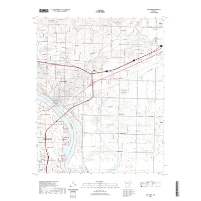 2020 Van Buren2020 Print · USGSCovers Sebastian County, including Fort Smith, Van Buren, and other nearby areas
 - 2020 Map of Mulberry, 2020 Print
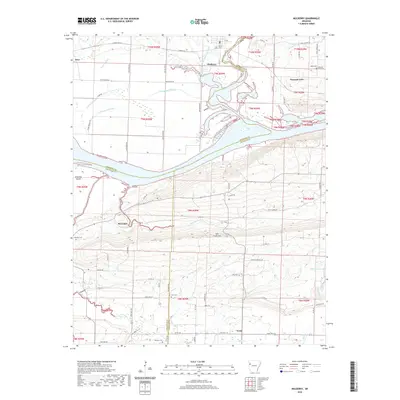 2020 Mulberry2020 Print · USGSCovers Sebastian County, including Mulberry, Dyer, and other nearby areas
 - 2020 Map of Alma, 2020 Print
 2020 Alma2020 Print · USGSCovers Sebastian County, including Alma, Kibler, and other nearby areas
 - 2020 Map of Huntington, 2020 Print
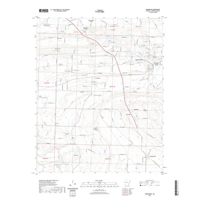
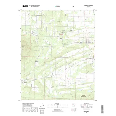 2020 Huntington2020 Print · USGSCovers Sebastian County, including Mansfield, Hartford, and other nearby areas
 - 2020 Map of Bates, 2020 Print
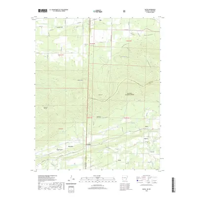 2020 Bates2020 Print · USGSCovers Sebastian County, including Gipson, Sugar Creek, and other nearby areas
 - 2020 Map of Hon, 2020 Print
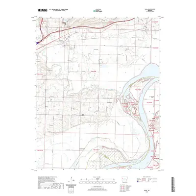
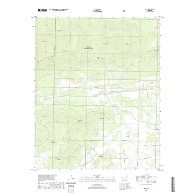 2020 Hon2020 Print · USGSCovers Sebastian County, including Bryan, Evening Shade, and other nearby areas
 - 2020 Map of South Fort Smith, 2020 Print
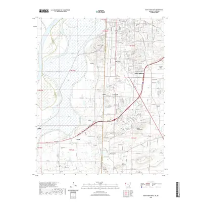 2020 South Fort Smith2020 Print · USGSCovers Sebastian County, including Fort Smith, Pocola, and other nearby areas
 - 2020 Map of Fort Smith, 2020 Print
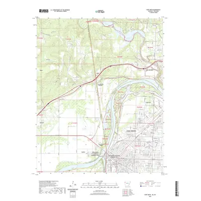 2020 Fort Smith2020 Print · USGSCovers Sebastian County, including Fort Smith, Van Buren, and other nearby areas
 - 2020 Map of Abbott, 2020 Print
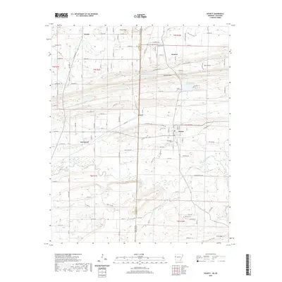
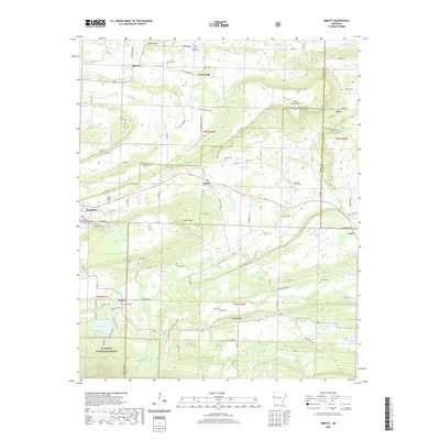 2020 Abbott2020 Print · USGSCovers Sebastian County, including Mansfield, Abbott, and other nearby areas
 - 2024 Map of Abbott, 2024 Print
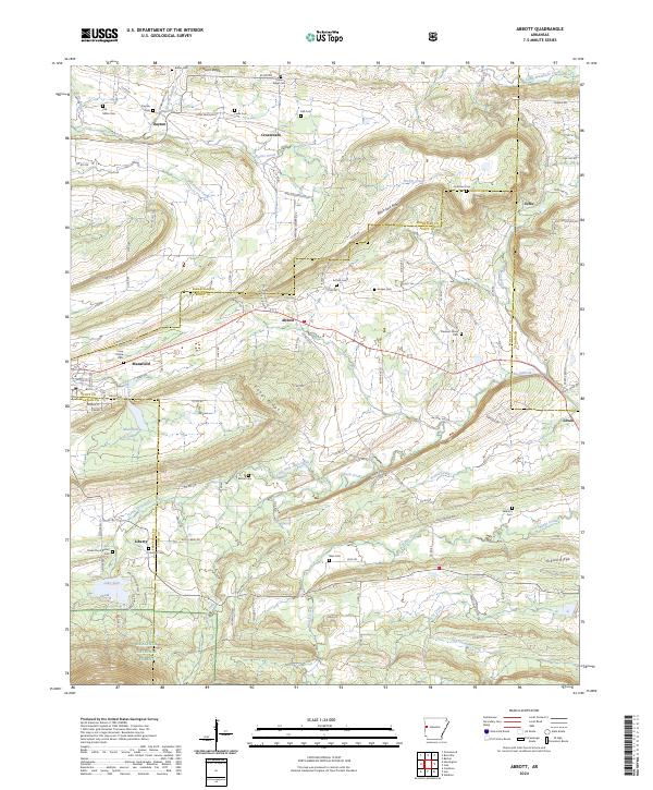 2024 Abbott2024 Print · USGSThe rural borderlands of Scott and Sebastian counties are detailed here in the 2020s, showing a landscape of upland ridges and creek valleys. Researchers can locate numerous local burial grounds like Coop Prairie Cem and Slate Cem near Abbott and Mansfield.
 - 2024 Map of Van Buren, 2024 Print
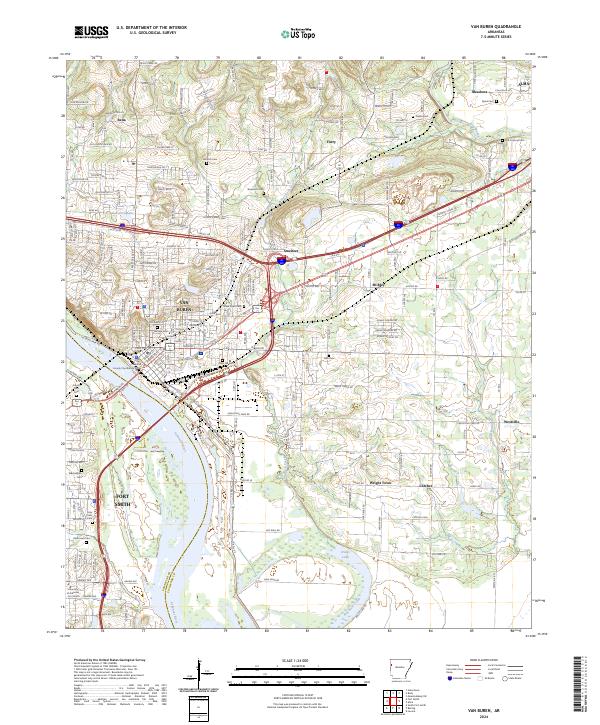 2024 Van Buren2024 Print · USGSVan Buren and Fort Smith meet along the banks of the Arkansas River in this detailed modern survey of the river valley. Genealogists and local historians can locate numerous family burial sites, including Antioch Cem, Stevenson Cem, and Old Concord Cem.
 - 2024 Map of Alma, 2024 Print
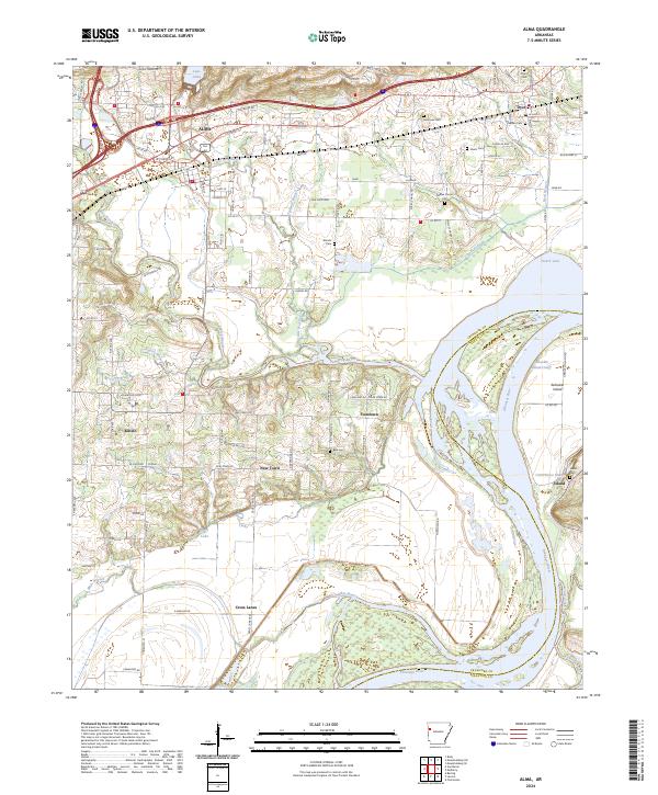 2024 Alma2024 Print · USGSThe Arkansas River valley comes into sharp focus in this recent survey of the settlements between Alma and Dyer. Researchers can trace local lineage through several family burial grounds like Woods Cem and Beal Cem or explore the river geography of Arbuckle Island.
 - 2024 Map of South Fort Smith, 2024 Print
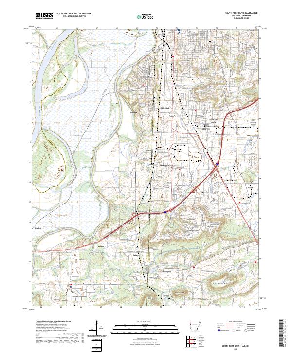 2024 South Fort Smith2024 Print · USGSThe Arkansas-Oklahoma border comes alive in this survey of the river-fed landscape surrounding Fort Smith. Researchers can trace local heritage through Woodlawn Memorial Park, the heights of Brooks Stephens Mtn, and the growing footprints of Arkoma and Pocola.
 - 2024 Map of Huntington, 2024 Print
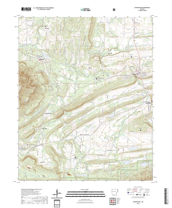 2024 Huntington2024 Print · USGSSebastian County at the turn of the decade reveals a landscape where valley settlements meet the rising Sugar Loaf Mountains. Researchers can trace family sites at Huntington Cemetery or James Fork Cemetery and explore the legacy of Fox Hill and Arkola.
 - 2024 Map of Barling, 2024 Print
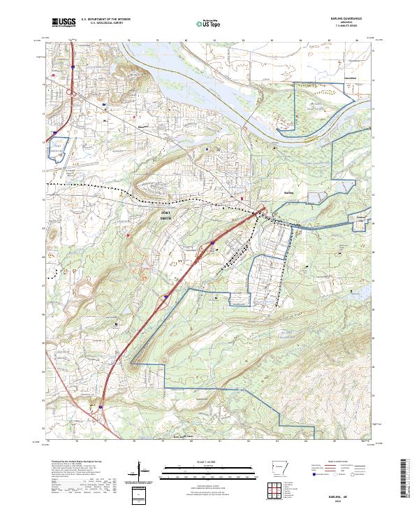 2024 Barling2024 Print · USGSGreater Fort Smith and the Fort Chaffee area are shown in this contemporary study of Sebastian County's evolving landscape. Genealogists and local historians can trace numerous family-named burial sites like Laura A Nolan Cem, Wisely Cem, and Mc Coy Cem.
 - 2024 Map of Hackett, 2024 Print
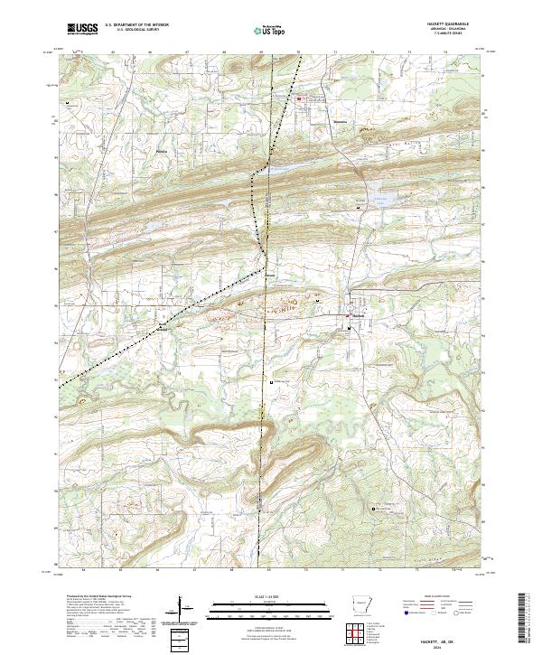 2024 Hackett2024 Print · USGSCrossing the Oklahoma-Arkansas border in the 2020s, this area shows a landscape defined by ridgeline settlements and old rail corridors. Trace family history at Old Hickory Cem, explore the legacy of Rock Island, or follow the path of James Fork through the valley.
Showing maps 1-25 of 36
Top cities of Sebastian County
- Fort Smith historical maps
- Greenwood historical maps
- Barling historical maps
- Lavaca historical maps
- Hackett historical maps
- Hartford historical maps
See more
Frequently asked questions
- What are the different types of historical maps available for Sebastian County?
- What is the oldest map of Sebastian County?
- Where can I purchase historical maps of Sebastian County for my home or office?
- Where can I download high-res historical maps of Sebastian County?
- Are there historical topographic maps available for Sebastian County?
- Is there historical aerial imagery available for Sebastian County?
- Where are historical maps of Sebastian County sourced from?