2000s (21st Century) Maps of Sebastian County, Arkansas
Explore 90 historic maps of Sebastian County from the 2000s (21st Century). These maps offer a rare glimpse into what life looked like during the 2000s — showing old roads, neighborhoods, homes, and landmarks that have changed or disappeared over time.
Whether you're researching your family's past, planning a metal detecting trip, or studying how Sebastian County's landscape evolved across the 2000s, these high-resolution maps are a powerful tool for exploring the history of this region.
- Focus on a specific era: All maps on this page are from the 2000s, giving you a focused view of this time period.
- See what’s changed: Compare century-old streets, trails, and buildings to today's modern landscape using overlays and satellite layers.
- Research with precision: Use these maps for genealogy, historical research, land use analysis, or educational projects.
- View, download, or print: Maps are fully viewable online in high resolution, and can be downloaded or printed for your own records.
Start exploring Sebastian County's history through authentic maps from the 2000s. This is your window into the past.
Sebastian County, AR maps
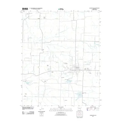
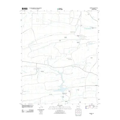
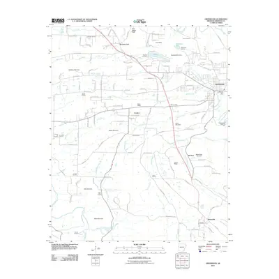
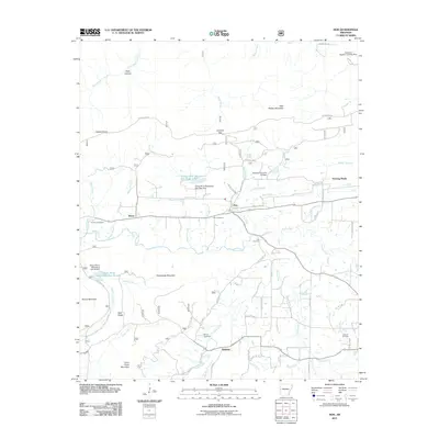
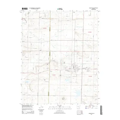
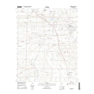
(90)- 2011 Map of Huntington, 2011 Print
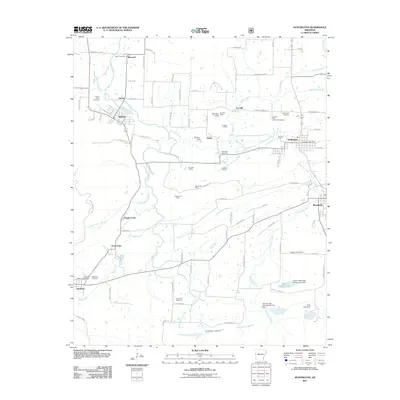 2011 Huntington2011 Print · USGSCovers Sebastian County, including Mansfield, Hartford, and other nearby areas
 - 2011 Map of Hartford, 2011 Print
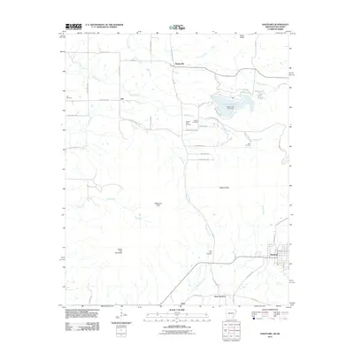 2011 Hartford2011 Print · USGSCovers Sebastian County, including Hartford, Hill, and other nearby areas
 - 2011 Map of Van Buren, 2011 Print
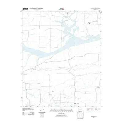
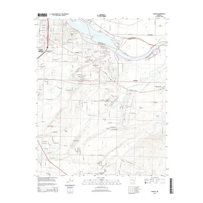
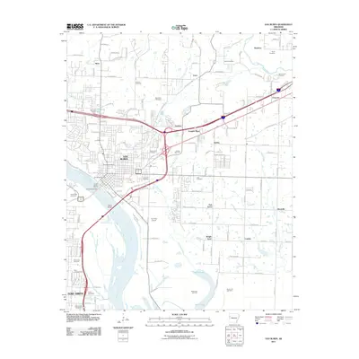 2011 Van Buren2011 Print · USGSCovers Sebastian County, including Fort Smith, Van Buren, and other nearby areas
 - 2011 Map of Barling, 2011 Print
 2011 Barling2011 Print · USGSCovers Sebastian County, including Fort Smith, Barling, and other nearby areas
 - 2011 Map of Charleston, 2011 Print
 2011 Charleston2011 Print · USGSCovers Sebastian County, including Charleston, Ursula, and other nearby areas
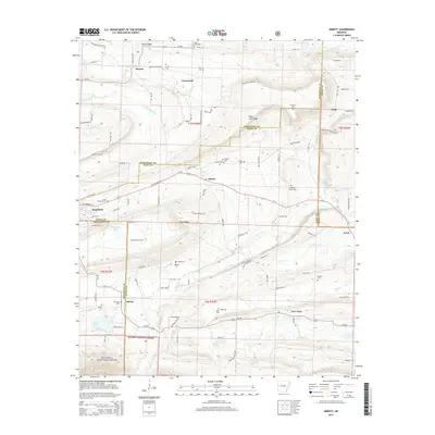
 - 2011 Map of Abbott, 2011 Print
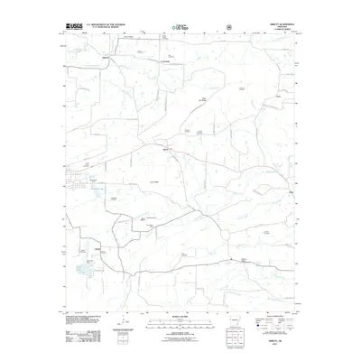 2011 Abbott2011 Print · USGSCovers Sebastian County, including Mansfield, Abbott, and other nearby areas
 - 2011 Map of Lavaca, 2011 Print
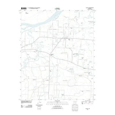 2011 Lavaca2011 Print · USGSCovers Sebastian County, including Barling, Lavaca, and other nearby areas
 - 2011 Map of Burnville, 2011 Print
 2011 Burnville2011 Print · USGSCovers Sebastian County, including Greenwood, Carnis, and other nearby areas
 - 2011 Map of Barber, 2011 Print
 2011 Barber2011 Print · USGSCovers Sebastian County, including Glendale, Barber, and other nearby areas
 - 2011 Map of Mulberry, 2011 Print
 2011 Mulberry2011 Print · USGSCovers Sebastian County, including Mulberry, Dyer, and other nearby areas
 - 2011 Map of Alma, 2011 Print
 2011 Alma2011 Print · USGSCovers Sebastian County, including Alma, Kibler, and other nearby areas
 - 2011 Map of Hackett, 2011 Print
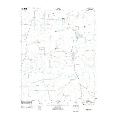 2011 Hackett2011 Print · USGSCovers Sebastian County, including Pocola, Hackett, and other nearby areas
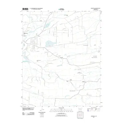
 - 2011 Map of Greenwood, 2011 Print
 2011 Greenwood2011 Print · USGSCovers Sebastian County, including Greenwood, Big Rock, and other nearby areas
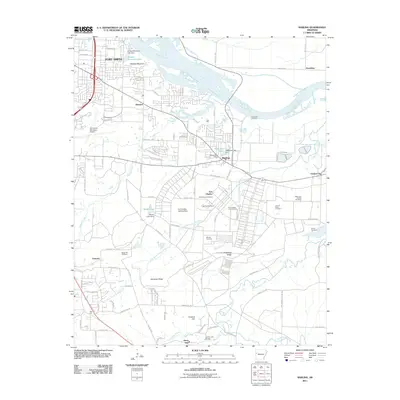
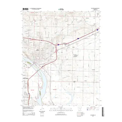
 - 2011 Map of Fort Smith, 2011 Print
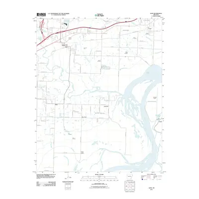
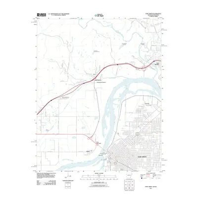 2011 Fort Smith2011 Print · USGSCovers Sebastian County, including Fort Smith, Van Buren, and other nearby areas
 - 2011 Map of South Fort Smith, 2011 Print
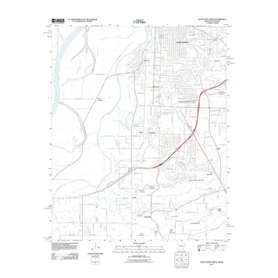 2011 South Fort Smith2011 Print · USGSCovers Sebastian County, including Fort Smith, Pocola, and other nearby areas
 - 2011 Map of Cauthron, 2011 Print
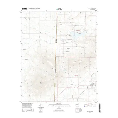
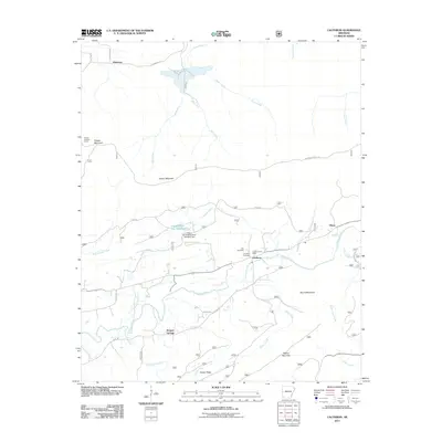 2011 Cauthron2011 Print · USGSCovers Sebastian County, including Oliver, Patterson, and other nearby areas
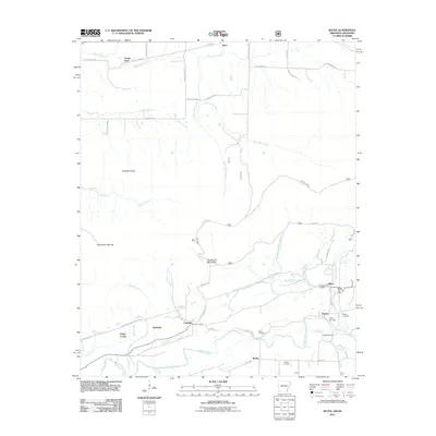
 - 2011 Map of Hon, 2011 Print
 2011 Hon2011 Print · USGSCovers Sebastian County, including Bryan, Evening Shade, and other nearby areas
 - 2011 Map of Bates, 2011 Print
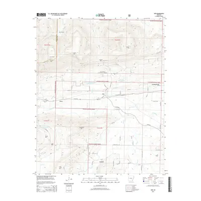
 2011 Bates2011 Print · USGSCovers Sebastian County, including Gipson, Sugar Creek, and other nearby areas
 - 2014 Map of Hon, 2014 Print
 2014 Hon2014 Print · USGSCovers Sebastian County, including Bryan, Evening Shade, and other nearby areas
 - 2014 Map of Van Buren, 2014 Print
 2014 Van Buren2014 Print · USGSCovers Sebastian County, including Fort Smith, Van Buren, and other nearby areas
 - 2014 Map of Charleston, 2014 Print
 2014 Charleston2014 Print · USGSCovers Sebastian County, including Charleston, Ursula, and other nearby areas
 - 2014 Map of Abbott, 2014 Print
 2014 Abbott2014 Print · USGSCovers Sebastian County, including Mansfield, Abbott, and other nearby areas
 - 2014 Map of Barling, 2014 Print
 2014 Barling2014 Print · USGSCovers Sebastian County, including Fort Smith, Barling, and other nearby areas
 - 2014 Map of Hartford, 2014 Print
 2014 Hartford2014 Print · USGSCovers Sebastian County, including Hartford, Hill, and other nearby areas
 - 2014 Map of Greenwood, 2014 Print
 2014 Greenwood2014 Print · USGSCovers Sebastian County, including Greenwood, Big Rock, and other nearby areas
Showing maps 1-25 of 90
Top cities of Sebastian County
- Fort Smith historical maps
- Greenwood historical maps
- Barling historical maps
- Lavaca historical maps
- Hackett historical maps
- Hartford historical maps
See more
Frequently asked questions
- What are the different types of historical maps available for Sebastian County?
- What is the oldest map of Sebastian County?
- Where can I purchase historical maps of Sebastian County for my home or office?
- Where can I download high-res historical maps of Sebastian County?
- Are there historical topographic maps available for Sebastian County?
- Is there historical aerial imagery available for Sebastian County?
- Where are historical maps of Sebastian County sourced from?